Opal Creek
Beachie Creek to Jawbone Flat on Little North Santiam(Opal Proper)
| Difficulty | IV-V(V+) |
| Length | 1.3 mi |
| Avg Gradient | n/a |
| Gauge | Little North Santiam River Near Mehama, or |
| Flow Rate as of 18 minutes | 96 cfsbelow recommended |
| Reach Info Last Updated | February 15, 2024 |
Note that this is the run upstream of Jawbone Flat and it begins on Opal Creek proper then joing the Little North Santiam to finish at the Jawbone Flat bridge. The standard 'Opal Creek Run' is downstream of this run and is entirely on the Little North Santiam.
It is a three-ish mile hike to Jawbone, then another mile up the Kopetski Trail to a good put-in on Opal Creek. Take the time to scout the Narrows on the way up, it would be possible to unknowingly get swept into this mandatory portage if you did not know it was coming.
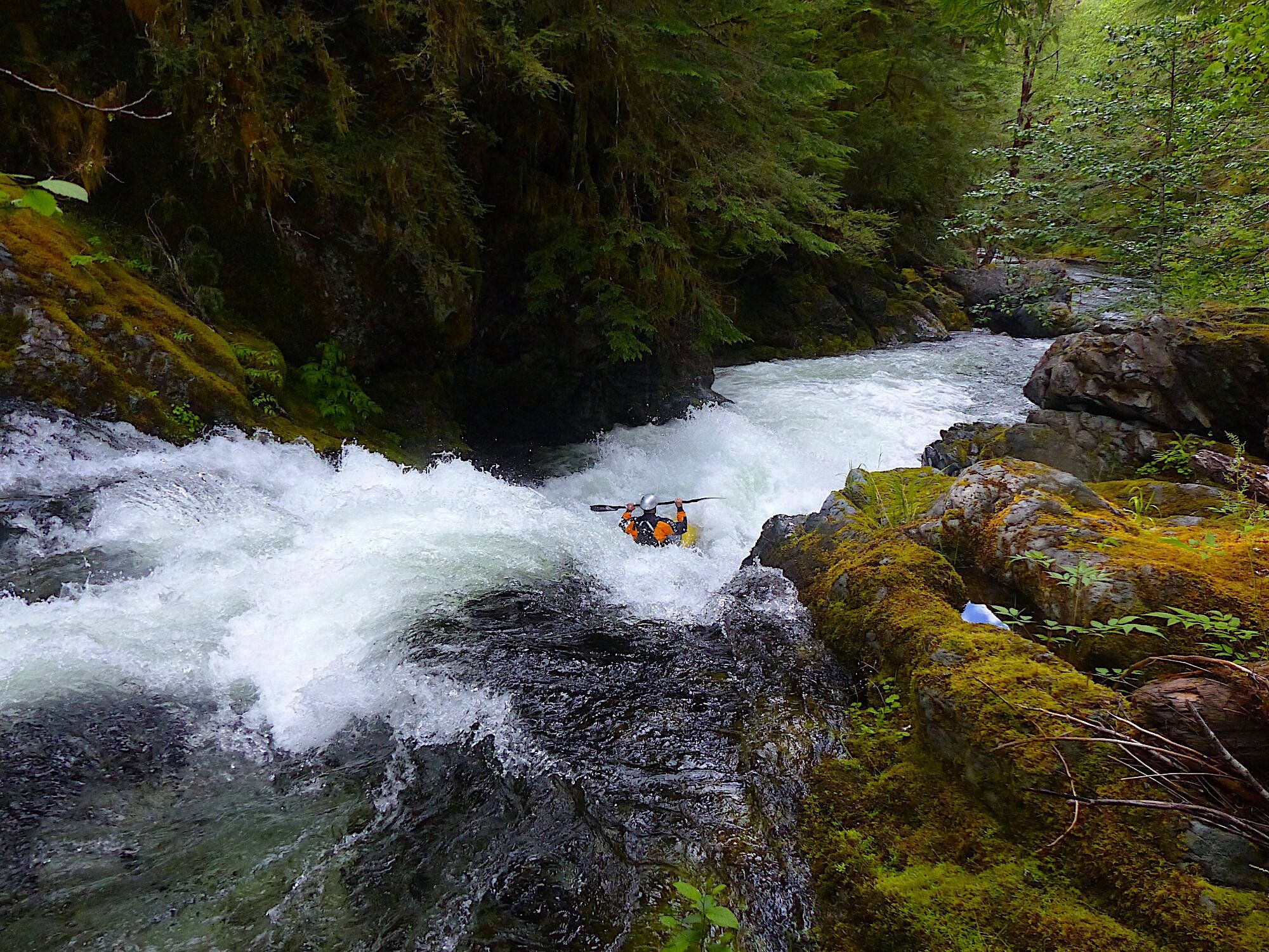
The run has a number of unique bedrock rapids that are pretty low stress, but oh so fun. There are two small waterfalls as well, both visible on the hike up.
1,500-2,000 cfs in the LN Santiam near Mehama is ideal. If there is snow on the trail the whole trip will be less enjoyable than a dry banks trip.
More Info
Hike up and put-in near the confluence where Beachie Creek joins Opal Creek.
At this point Opal Creek joins the Little North Santiam at this confluence. At this point you are on the Little North Santiam.
You can take out at Jawbone Flats near the confluence where Battle Axe Creek joins the Little North Santiam or continue on downstream through the next run on the Little North Santiam to the Jawbone Flats trail bridge or beyond.
No trip reports yet.