Salmon (Oregon Coast)
Prairie Creek to Otis
| Difficulty | II-III(IV) |
| Length | 5.9 mi |
| Avg Gradient | n/a |
| Reach Info Last Updated | December 20, 2023 |
This is a convenient run close to Lincoln City that follows Highway 18.
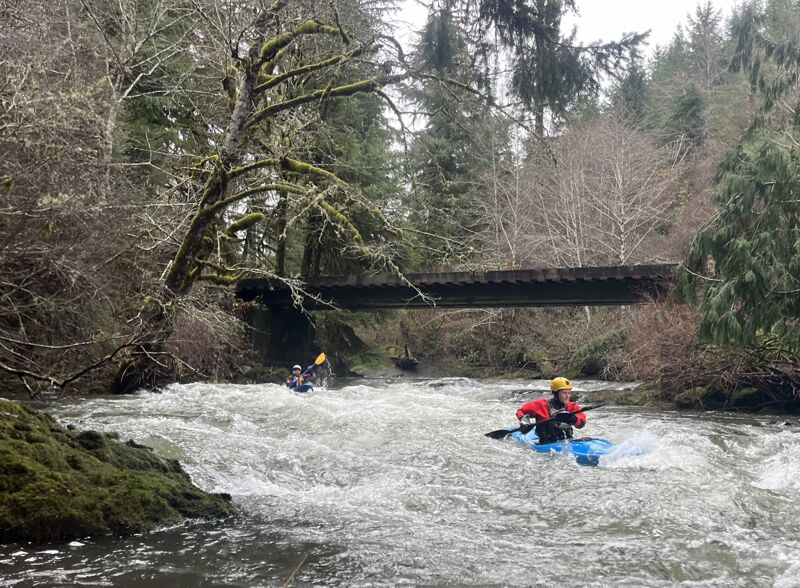
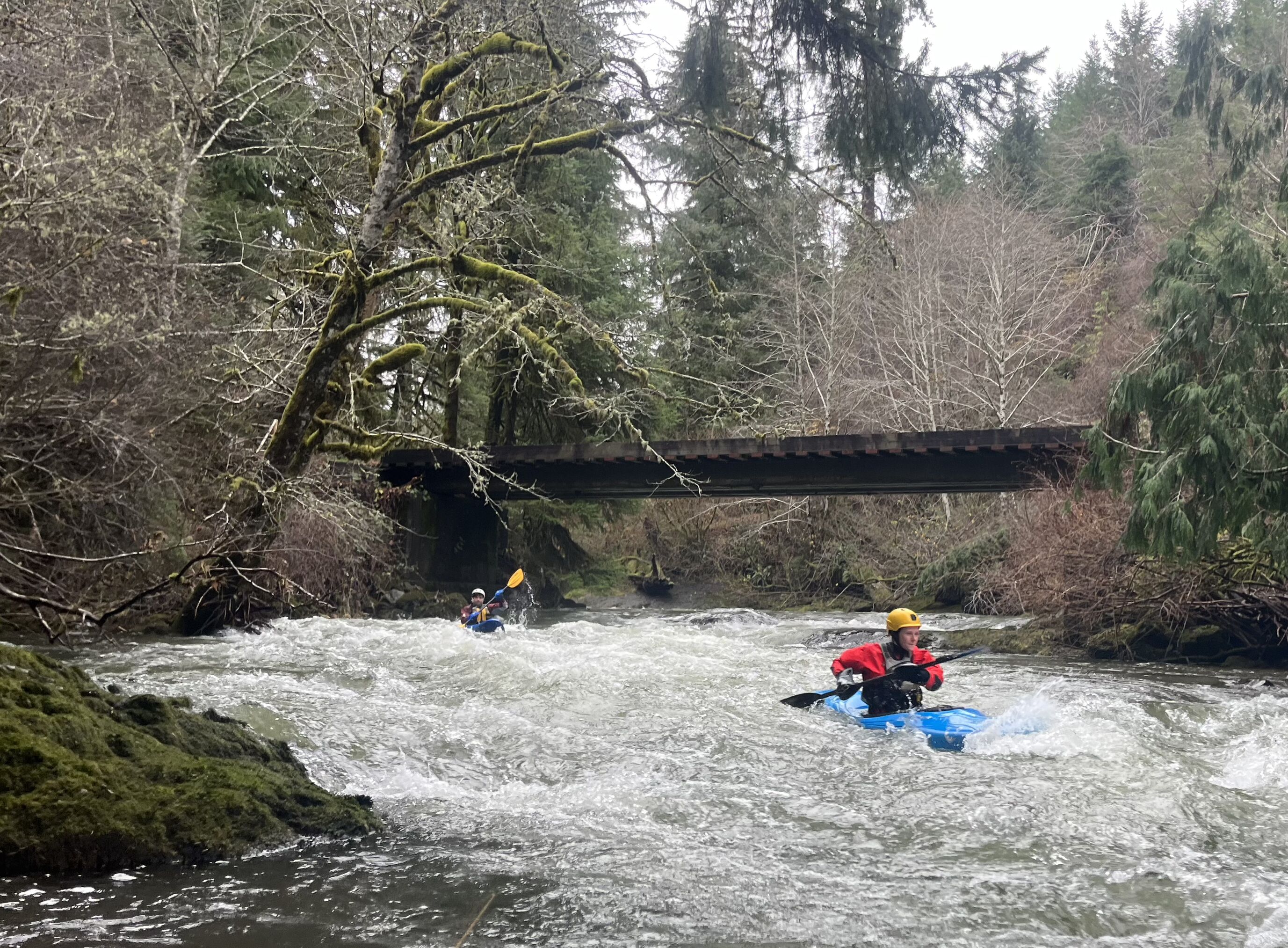
The first mile from the Treat River to the Highway 18 bridge is creeky, with small ledges and chutes. Widow Creek enters from the right through a culvert a short way below the Zeller's Riverside Bar and Grill, the next rapid is the largest on the run and forms a small horizon line at 'Widowmaker'. This rapid can be scouted from the right bank, and is a narrow turbulent chute along the left bank that is easy to portage on the right.
Below the Highway 18 bridge there are lots of beginner friendly surf waves in the next mile down to Slick Rock Creek. The best set of waves ends below a private bridge. There is an access point at the confluence with Slick Rock Creek where a fun class III rapid is best run along the right bank.
The last 3.5 miles is more open, with more water. Surf waves still exist, but are further between. The whitewater eventually ends and there is about a mile of easy floating to the take out at the fish hatchery. The best take out is above the low head dam on river right, where a trail through the hatchery leads back to the visitor vehicle parking area. If that trail is closed, there is also access near the downstream end of the hatchery near the Sitka Spruce.
The gauge for the run is found here (change the dataset from 'mean daily flow' to 'instantaneous flow'):
SALMON R BL SLICK ROCK CR AT ROSE LODGE, OR
500 cfs is a nice friendly flow, it could be run lower.
1,000 cfs is a good medium flow.
It can be run at twice that without the difficulty increasing much, but it can be challenging to get swimmers and gear to shore, and some parts can get squirrely for beginner kayakers.
The following videos are from before the gauge was reporting, so flows are estimated.
...The put in is a short way above the Zeller's Riverside Bar and Grill at a small roadside pullout.
Take out above the low-head dam on river right at the fish hatchery. Visitors are only allowed until 4:30 but the people there didn't seem bothered by kayakers using it later than that but please remember to be respectful because some of the employees live there too
Dec 11, 2023
1,000 cfs on the Salmon below Slick Rock gauge. The run was mostly clean, with two log hazards. The first was early on (visible from the porch of Zeller's Bar and Grill) and could be snuck by on the left.
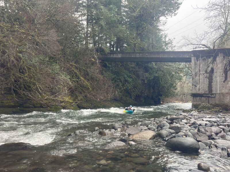
The Second was below Slick Rock Creek. There are three class II-III rapids not far below Slick Rock Creek that have cliff walls on one side of the river. The first is a cliff on the left, the second on the right, the third the cliff is back on the left. This third cliff rapid is where the log is and should be portaged on the right from the downstream end of the second cliff before entering the third rapid. Confident boaters can eddy out just above the log in the middle of the rapid, but a mistake would be bad news. There was orange tape marking the portage when we were there.
Other than those two logs, it was good fun with lots of beginner friendly surf features and some fun small creek lines in the first mile.
Dec 11, 2023
Some photos of rapids on the Salmon River.