| Difficulty | I-II(III) |
| Length | 7.1 mi |
| Avg Gradient | n/a |
| Gauge | Salmon River at Pineville Ny |
| Flow Rate as of 1 hour | 228 cfsbelow recommended |
| Reach Info Last Updated | April 7, 2024 |
River Description
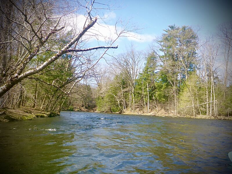
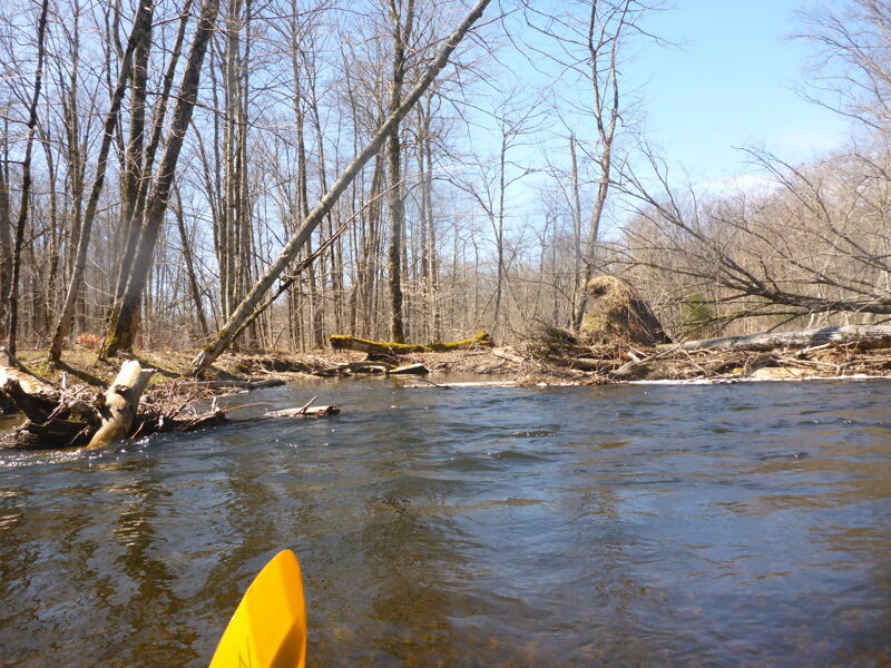
An easier section than the stretch that goes through Pulaski. A good option for beginners or trained beginners who struggle with the main Salmon WW run. The river is usually quite wide with a cobble bottom, giving it an occasional Class II feel. The rapid near Double Eagle is the most continuous whitewater on this section (may be considered an easy III by some). You'll see less fisherman and houses up here which is nice for beginners and dealing with swimmers.
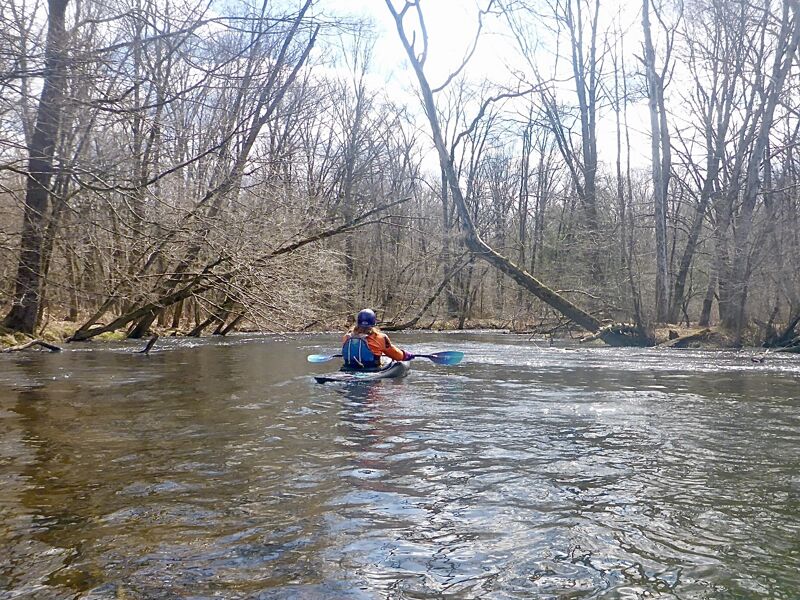
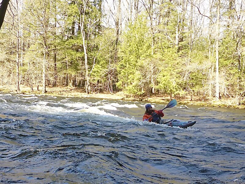
The rapids increase in difficulty as you go down. The first two thirds are mostly just little ripples. A bit boring with a whitewater boat, but great fun in an open canoe. The most difficult rapid here is the descent into Trestle Pool. Whitewater boaters will get splashed a few times, experienced canoeists will have an excellent time, and less experienced canoeists may want to spot this one before running it.
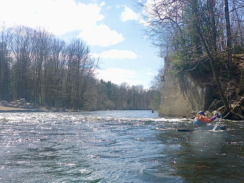
The final third contains the real rapids. For those wanting a whitewater run, put in at the public access on Riverside Pointe Rd. and take out at the usual spot on Route 2A. A good canoeist could navigate this section, though with much greater difficulty.
Expect the water to be chilly, the dam upstream releases from the bottom.
Dam release information: https://www.safewaters.com/facility/lighthouse-hill
Watertown Area Reaches:
Black River (Rt. 3 Wave) Black River (Watertown to Brownville)
Black Creek Deer River (Section 1)
...River Features
River Split
OtherDistance: 0.9 mi
River splits here around a large island. Choose the left or right channel.
Pineville Public Access
OtherDistance: 3.3 mi
Public access point at Pineville. Alternative put in.
River split after Pineville
OtherDistance: 4.1 mi
River splits into a couple of channels here. Preferred route is the right channel, going left will likely result into portaging around accumulated wood.
Rapids near Double Eagle Lodge
RapidClass: IIDistance: 5.8 mi
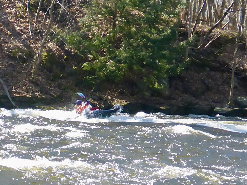
Longer stretch of rapids near the Double Eagle Lodge
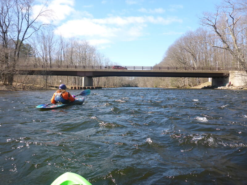
Take Out
Access PointDistance: 7.16 mi
Take out just above the Route 2A bridge, at the 'Trash Compactor.'