San Miguel
06. Pinon Bridge to Naturita
| Difficulty | I(IV) |
| Length | 13 mi |
| Avg Gradient | n/a |
| Gauge | San Miguel River at Brooks Bridge Near Nucla Co |
| Flow Rate as of 1 hour | 5 cfsbelow recommended |
| Reach Info Last Updated | April 1, 2024 |
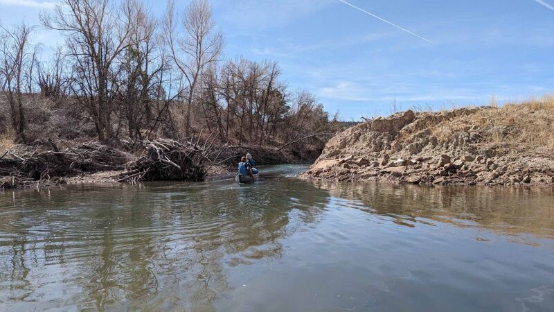
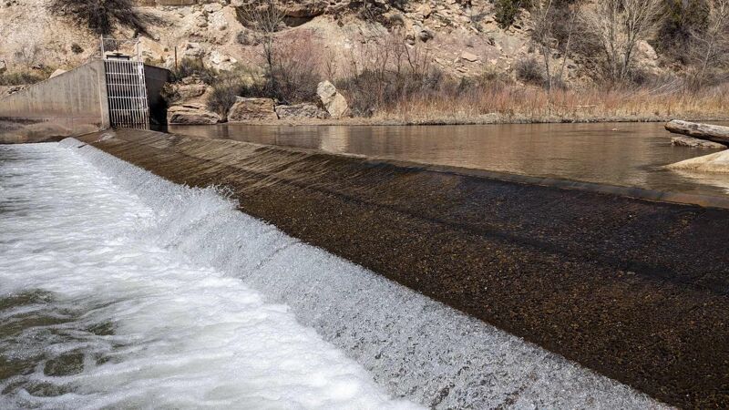
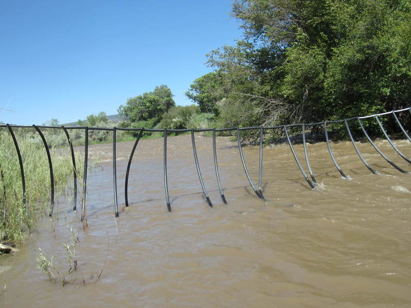
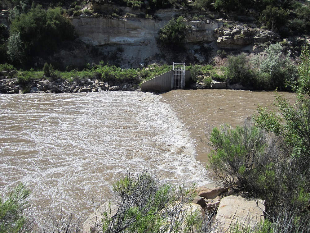
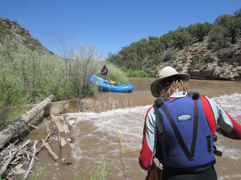
This is a nice but complicated float through some private property below Norwood Canyon. It's scenic like Norwood Canyon, starting to take on some Dolores feel, and certainly not crowded. However, there are two low-head dams, and several fences that cross the river posing serious threats to paddlers. San Miguel Watershed Association and others are working towards rehabilitating the dams to improve fish passage and navigability for boats. Currently the dams are unmarked and surprisingly tough to see. The fences? Welcome to western Colorado, stay very alert.
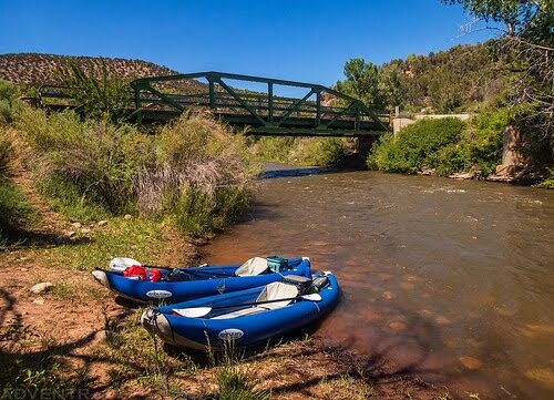
Mileages start here, although better boat launch is upstream at cottonwood campground.
Private agricultural diversion. Easy scout/portage river right.
Low pipe crossing. Kinda skanky. Photo at 90 cfs.
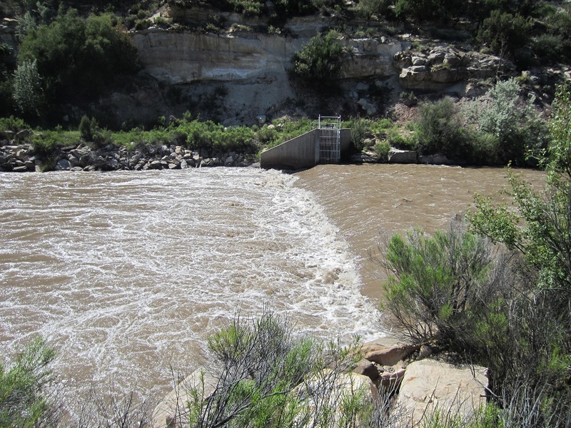
Low head dam. Dangerous at moderate and high flows!
Discussions have started to mitigate the danger here.
Apr 1, 2024
Mar 22, 2024
Reid Chatfield Dam 90 cfs
Mar 22, 2024
90 CFS
Jun 15, 2016
On a blind corner, just above Naturita there used to be a nasty low cable strung with pallets. This created the worst river obstacle this author had ever seen. Now removed thanks to understanding landowner.
And midway through this run, one can still see the remnants of the Tri-State power plan dam. Now almost completely removed, this is not the hazzard it used to be. (Some rebar still remains)
Thes changes give us optimism that this section may someday be recreationally floatable.
Mar 9, 2016
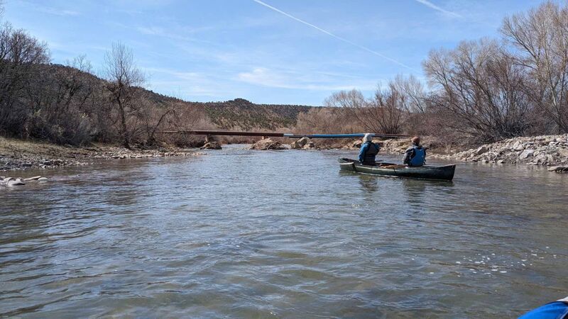
Fence across San Miguel - not so bad.