Jonathans Creek
Joe Carver Rd to Liberty Church Rd
| Difficulty | II-III |
| Length | 5.3 mi |
| Avg Gradient | n/a |
| Permit | none |
| Gauge | Cataloochee Creek Near Cataloochee, Nc |
| Flow Rate as of 1 hour | 71 cfsbelow recommended |
| Reach Info Last Updated | March 27, 2023 |
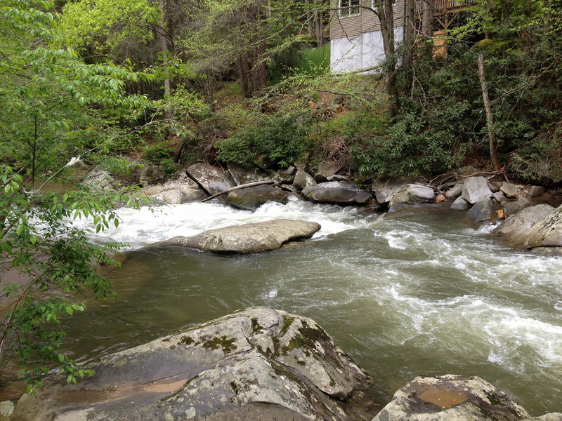
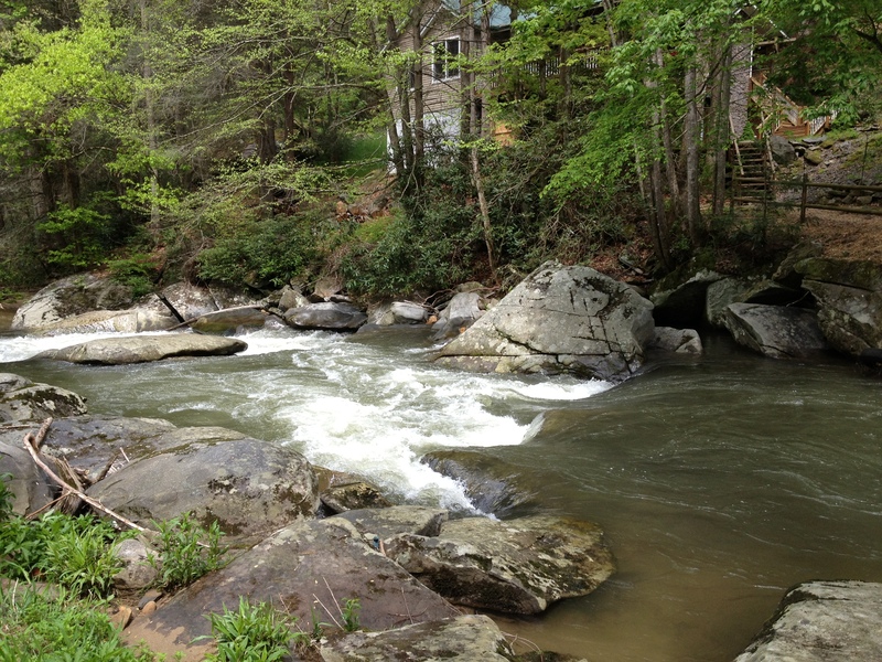
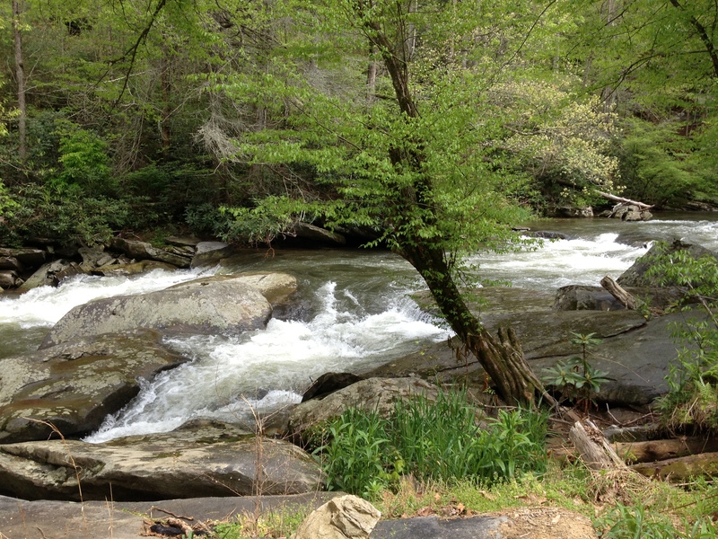
The best part of this run is the section from the 'gravel pit' (on Cove Creek Rd just downstream from where Cove Creek Rdintersects with Jonathan Creek Rd / US 276) to the takeout near / at Liberty Church Rd. A common alternate put-in is at the Fire Station on Joe Carver Rd; the folks at the Fire Station have been friendly and gracious but ask before you park there. This upper put-in adds another 3 miles to the lower section but the quality is not as good. You could also put in further upstream at Grindstone or Hemphill roads but the author has not done so and sees no purpose in doing so.
The first 3 miles from the fire station are continuous class 1+ to 2- with a lot of standing waves. There are only a couple spots where there are distinct rapids. You will be paddling mostly through farmer's field but also past sawmills, industrial facilities, a trailer park and a very well maintained and landscaped RV park. As you pass under Jonathan Creek Rd / rte 276 the second time you will pass the 'gravel pit' and enter a nicer section of the creek. The banks become steeper and more wooded and a few distinct rapids and easy places to surf appear. Most of the homes along this stretch are expensive, well landscaped and not terribly intrusive.
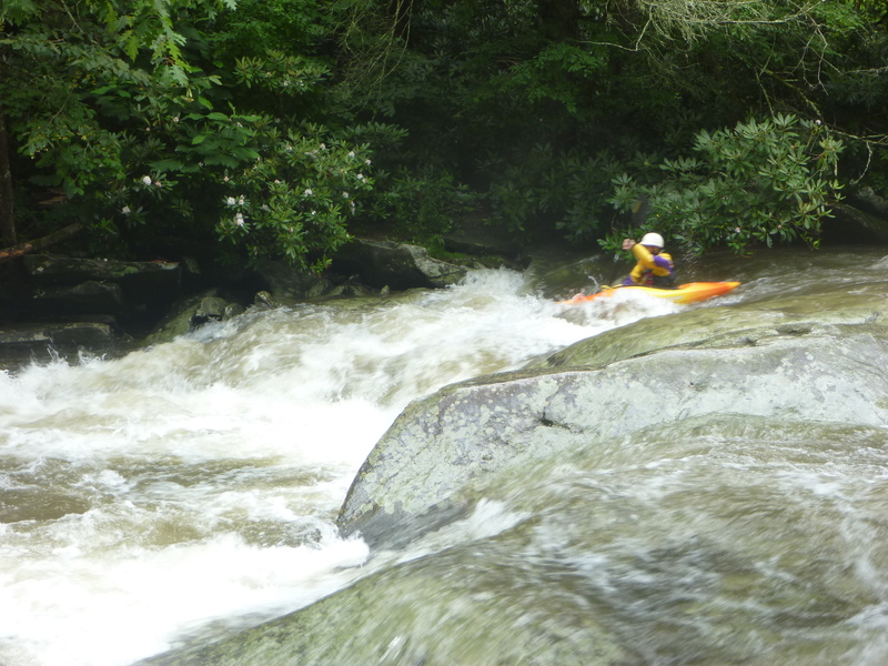
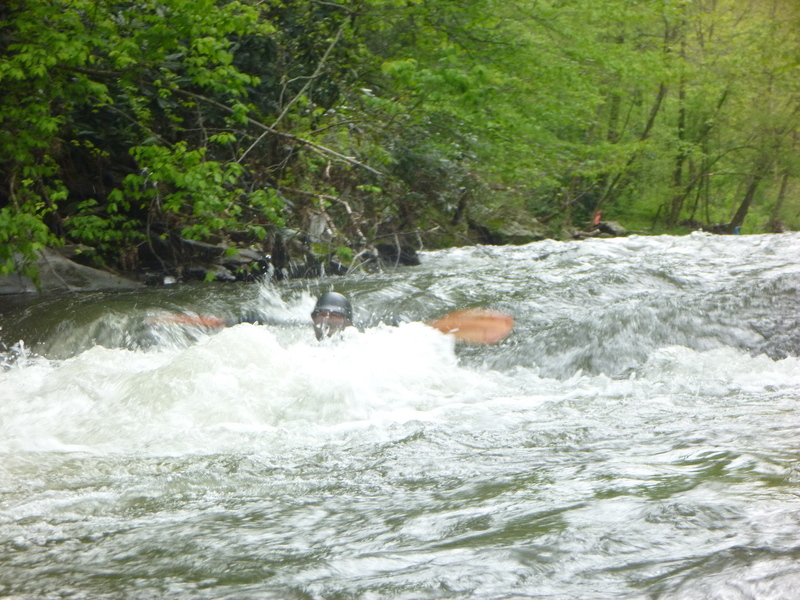
Not far after passing Gold Finch Way (bridge with metal protector on the center piling) you will encounter Double Drop, the first truly distinct rapid. The first part is a sloping tongue, the second drop has a hole. Small rapids continue until after you pass under I-40 and two smaller bridges. You will notice that the price / quality of the homes drops a bit. One enterprising home owner has used several vehicle chassis as a bank stabilizer rather than the normal techniques of rip-rap or gabions. About a hundred yards after this 'marker' the real action starts. The river turns to the right (and there is a good sandy takeout eddy on the left ) then back to the left (where there is a tighter last chance eddy) above the meat
...This gravel lot is a good option for a put in.
Fairly straightforward; first drop is a tongue second drop has a hole. Not a keeper hole but one that could flip the misaligned / unwary. It's the first rapid of significance after Goldfinch bridge.
After you pass under the Ball Dr bridge and the house with the vehicle chassis' on the right river bank, in about 100 yards the river turns to the right then the left and the action starts. Submarine is the first. Running the entry drop on the right lines you up for the main drop (an 8-10 ft wide slot also on the right). You can run the right or left side of this slot. Don't be tempted by the slots on river left as then neck to to a point too narrow for a boat.
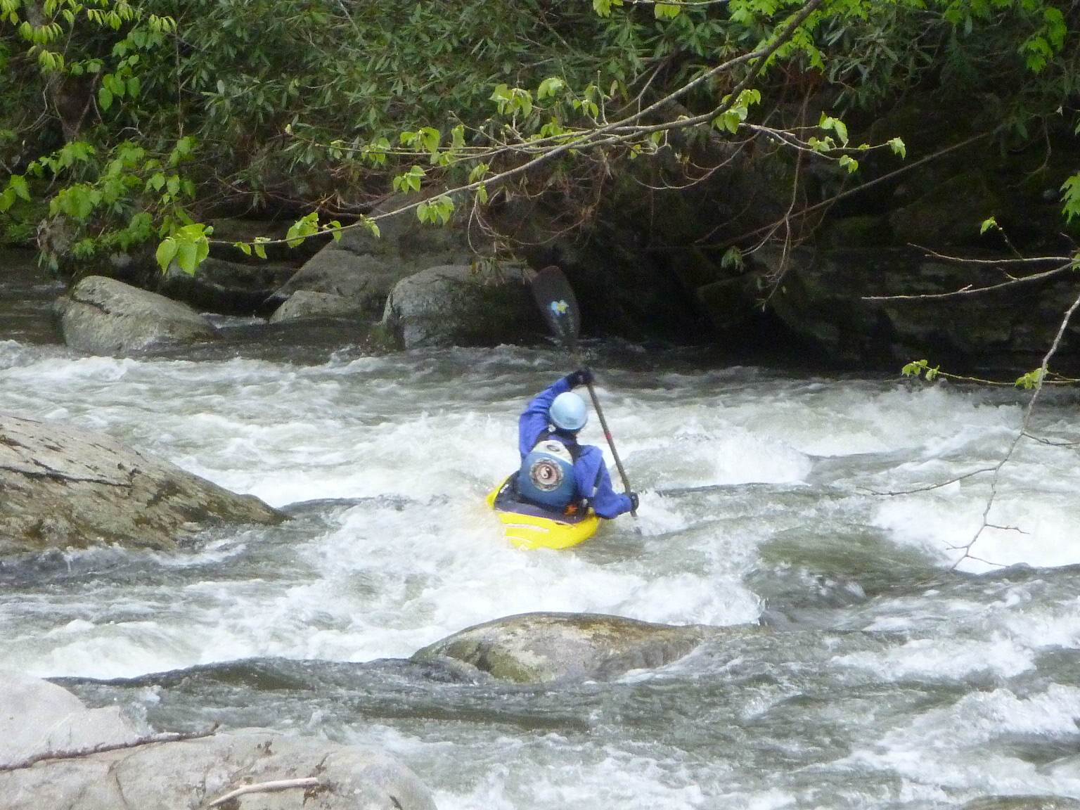
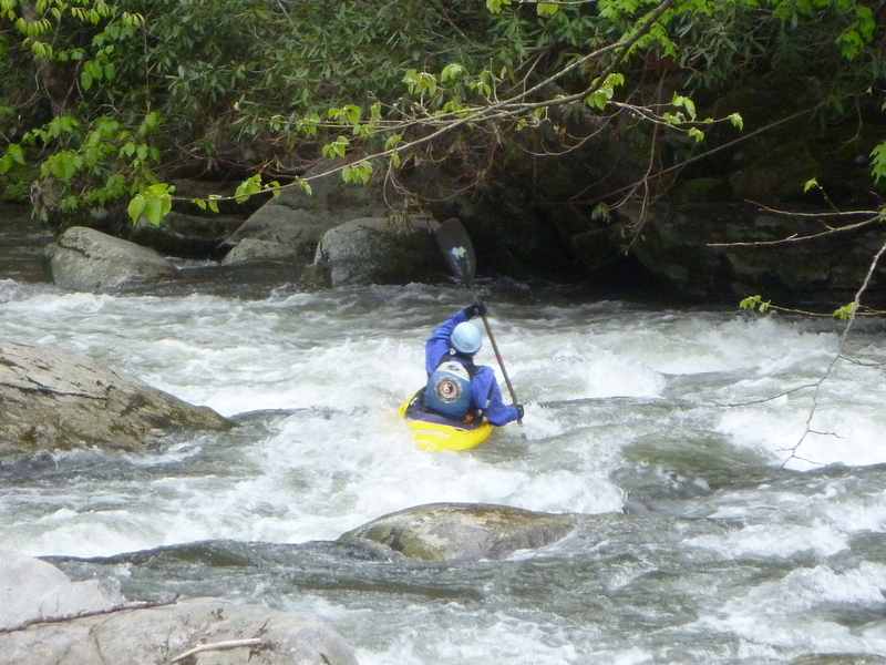
Like the previous rapid, Wendy's Wonder has an entry drop followed by the main drop. There is a large boulder in the center of the creek after the entry drop. It is undercut on both sides and both sides allow the passage of water. For many years the left side was clogged with many logs and the flow down the left side was restricted. That forced most of the flow down the right side. During the winter of 16/17 high water blew out the log jam. Now most of the water flows left of the boulder. The left line is extremely narrow and is prone to catching wood, so the right side is still the best option. You can run the entry drop on the right center to right with right bow angle so that you line up to run the main drop on the right. Be aware that the current will try to push you left, so paddle aggressively.
Rock near the top looks like a scapula. Best line is left of that rock & follow the tongues.
Take out in this area if you do not wish to continue downstream to the Hepco Section of the Pigeon River, which is also fun.
Jun 21, 2014
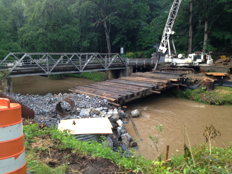
Temporary bridge - as of June 2014
Jun 21, 2014
As of June 2104 the first bridge after Jonathan Creek Rd / rte 276 is under construction. For most paddlers (who will put on along Cove Cr Rd just downstream of 276) this will be the 1st bridge that you come to. It will be about 0.4 miles below this lower put in. There is a photo in the photo section.
Jul 6, 2013
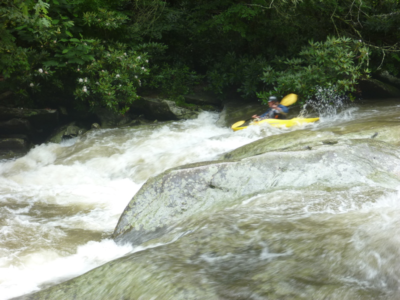
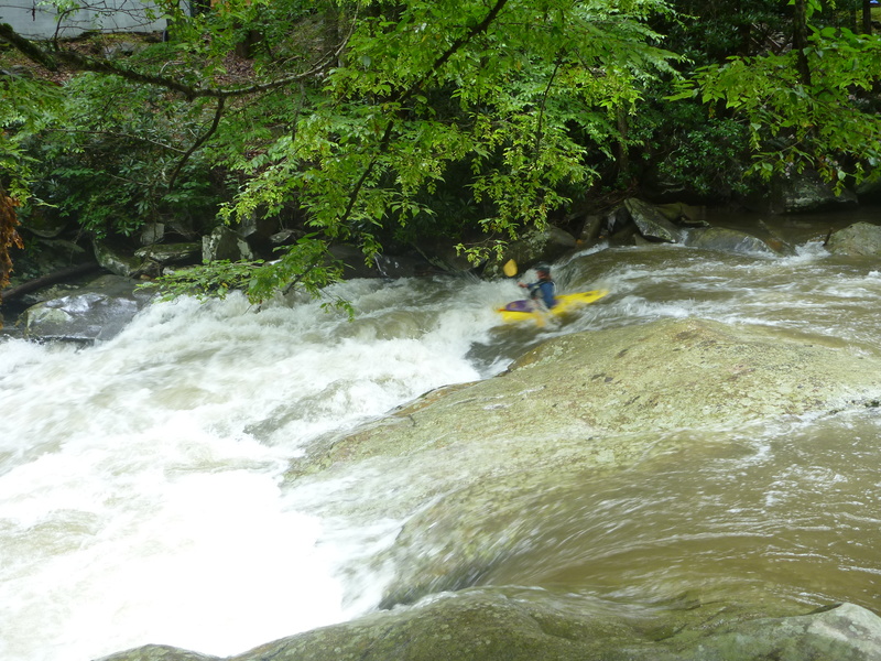
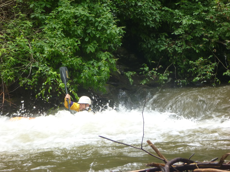
This is a medium+ level. Cataloochee Cr was about 500 cfs.