Connecticut
1. Turners Falls Dam Bypass Reach
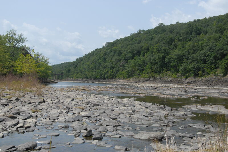
Aug 3, 2023
On our way to Deerfield Festival Bob Nasdor and I stopped to see the Connecticut River where it is dewatered by the Turners Falls Hydroelectric Project. These images show the dam and the river channel immediately downstream of the dam.
Sep 3, 2018
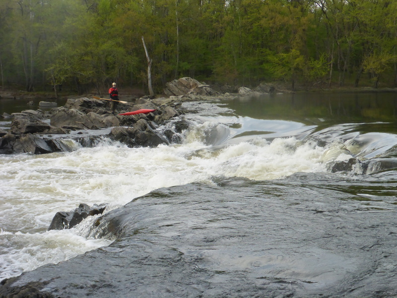
At regular boating levels if you can see the rock ledge mid-channel of river left branch, this is an easy scout from the ledge. This is the far left 'main' drop with well defined tongue and a rooster tail. There are generally 3 lines to be had in this section, depends on level and boater.
At higher levels, a vertical drop - perfect for beginner boofers - appears on the right side of the ledge in this channel.
The middle channel has a ledge you must navigate or at lower levels, portage (really just get out and throw your boat over).
The right channel is usually open and is consistently the easiest line. You can then approach Rock Dam from below and use the island and ledge to attain for a scout if you're inclined to check it out and give it a shot.
RIck Hudson, scouting from the ledge.
Sep 3, 2018
The power canal has a few outflows, this is the first major outflow point. Nice surf wave for beginners, easy to get into and good eddy service.
Sep 3, 2018
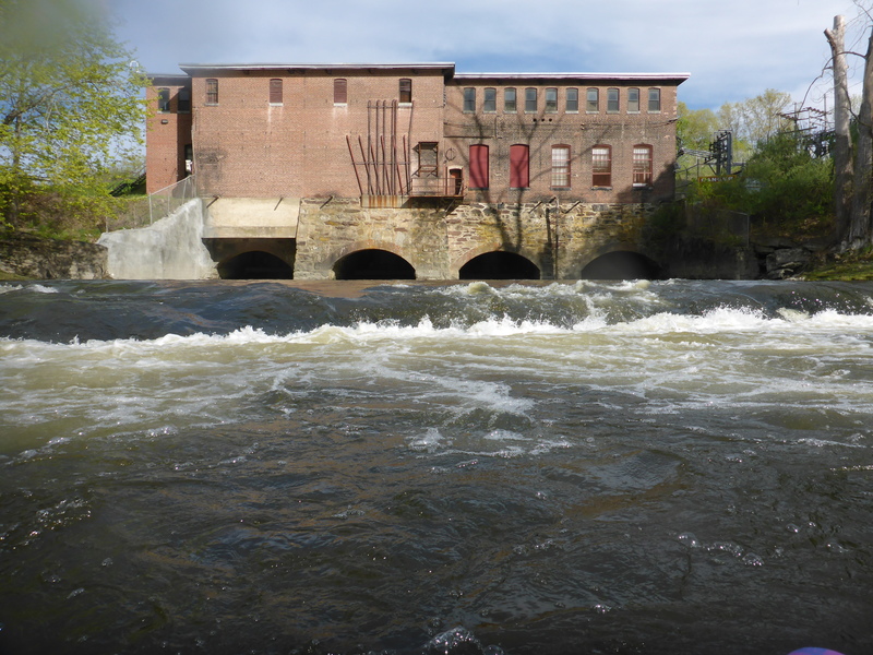
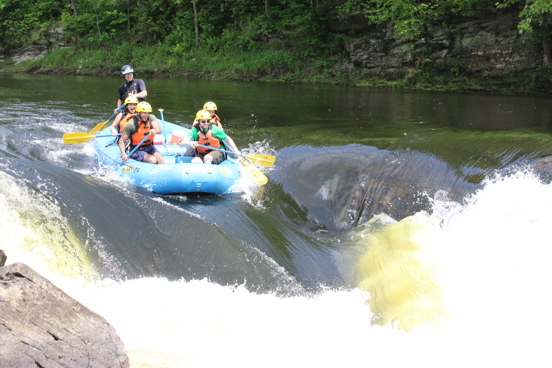
After putting in, cross above big island to the far river right - find these ledges 'in' at most boatable levels. This is 5/11/2018 with one gate open (far river left gate) on the dam.
Mark Stevens and Matt Guertin, paddlers
Sep 3, 2018
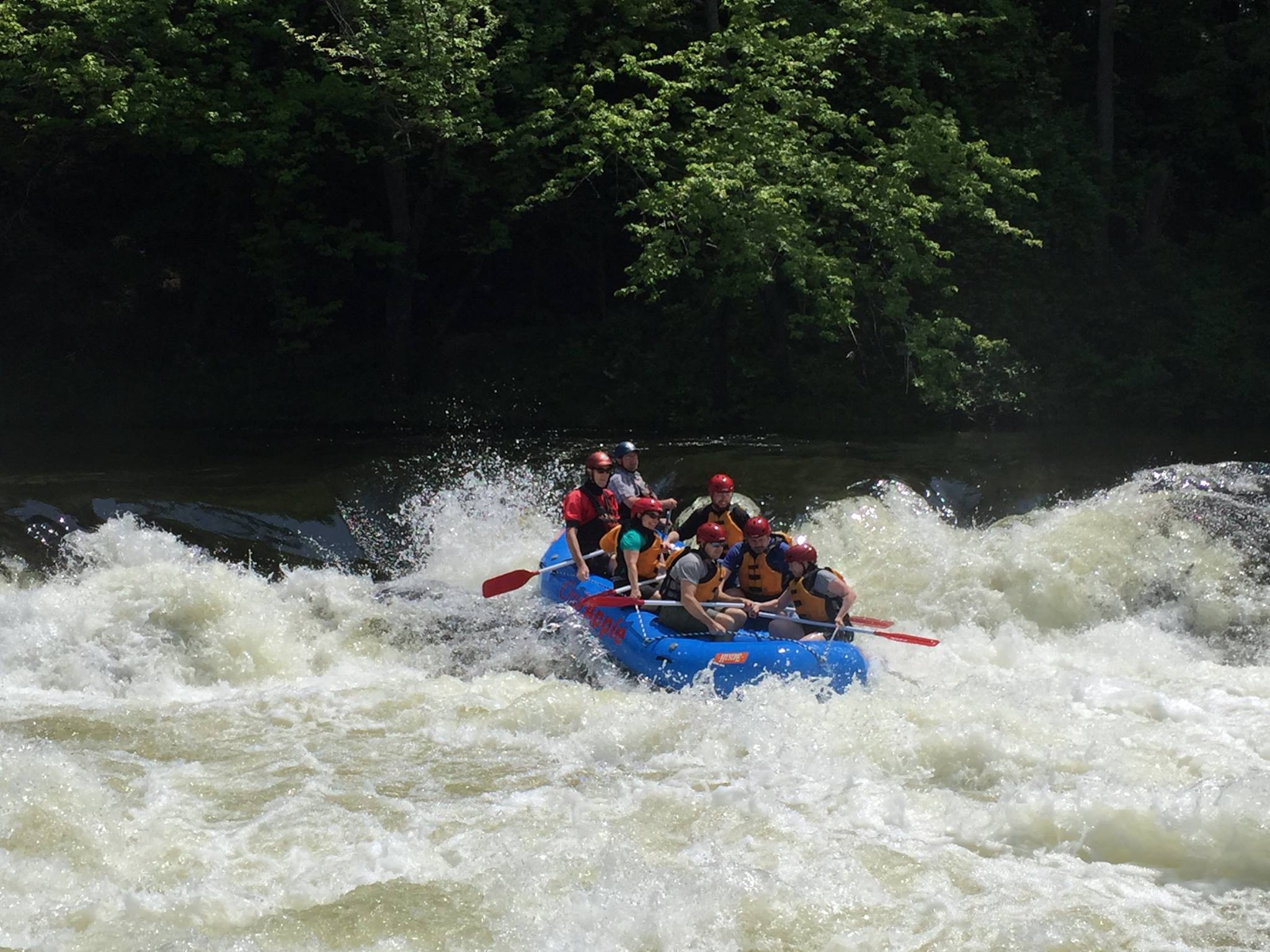
Center Channel has a small ledge and is bony by kayak, quick throw-it-over-the-top by rubber.
Mark Stevens and private crew.
Sep 3, 2018
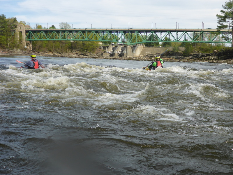
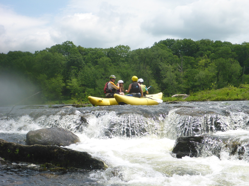
Raft to give you scale of the main drop, left channel, left drop, tongue w/Rooster Tail line.
Zoar Outdoor raft with commercial guests. 6/2/2018
May 1, 2016
Fish Study to Provide Paddling Opportuniies: May - June 2016
There will be continuous boatable flows in the Turner Falls bypass reach the entire month of May and some of June. Please try to use these flow and build interest in the reach. Flows between 2500 and 4400 cfs are excellent; flows of 1500 cfs are still paddlable. Schedule below.
The flows are part of a fish study. They want to determine if an altrasound array at the power station can keep shad away from the outflow so they will move upriver to the dam where a new fish passage devide would be installed. They will radio monitor a number of the shad releases from the Holyoke Dam. Once those fish have been recorded at Turners Falls, these flows may end. The May flows, which are the best, are pretty sure; the first two weeks of June have a good probability of happening; but the last two weeks of June may prove iffy.