Toe, South
1. S.Toe R. Rd, from Upper Creek to Black Mtn CG
| Difficulty | III-IV |
| Length | 2 mi |
| Avg Gradient | 115 fpm |
| Reach Info Last Updated | December 12, 2025 |
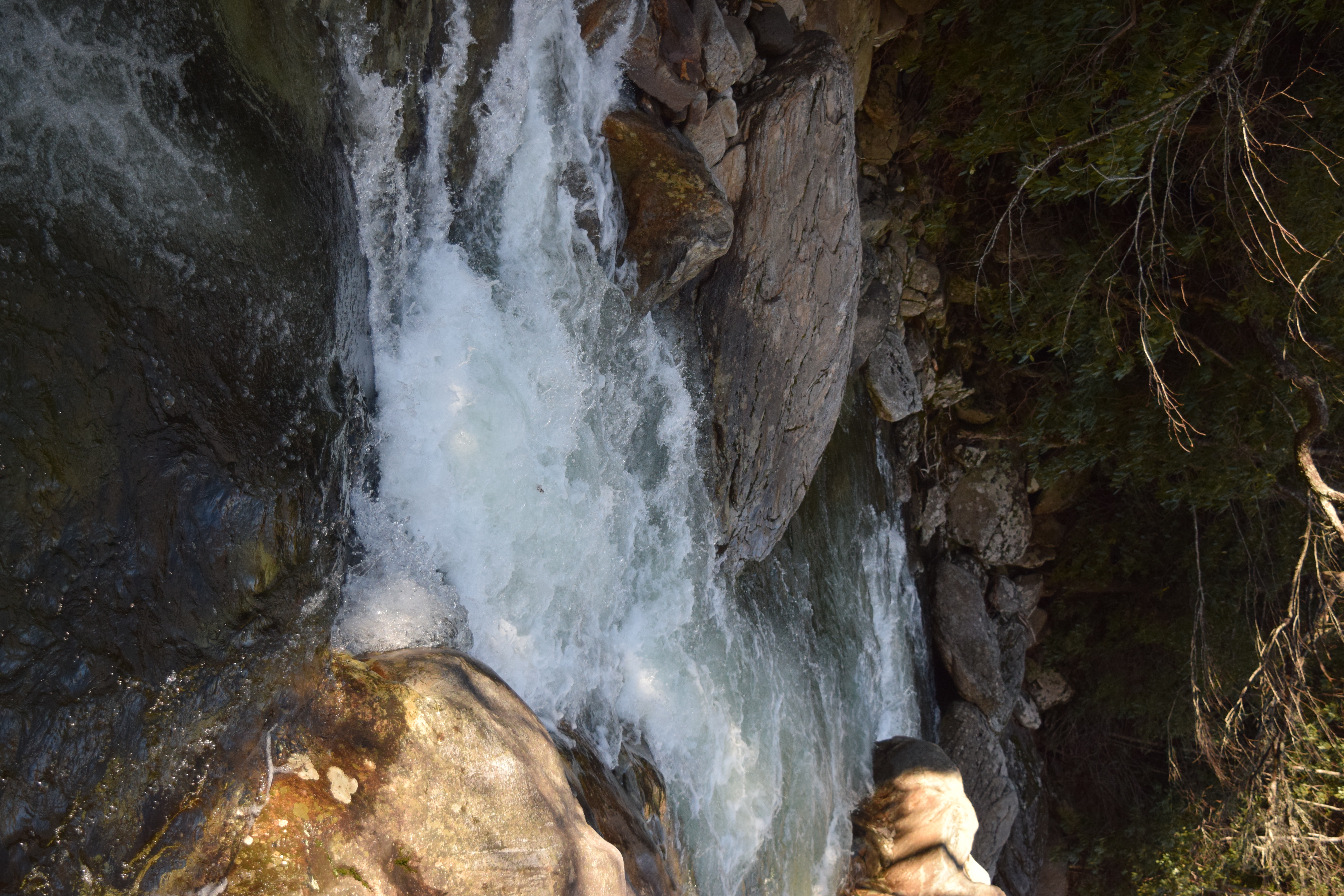
Nice Class III and IV creeky roadside run on the flanks of Mitchell with one standout gorge that can be scouted from the road.
No trip reports yet.