Spring Creek
Bellefonte to Milesburg
| Difficulty | I-II |
| Length | 2.2 mi |
| Avg Gradient | 18 fpm |
| Gauge | Spring Creek at Milesburg, Pa |
| Flow Rate as of 24 minutes | 4.19 ftlow runnable |
| Reach Info Last Updated | February 11, 2024 |
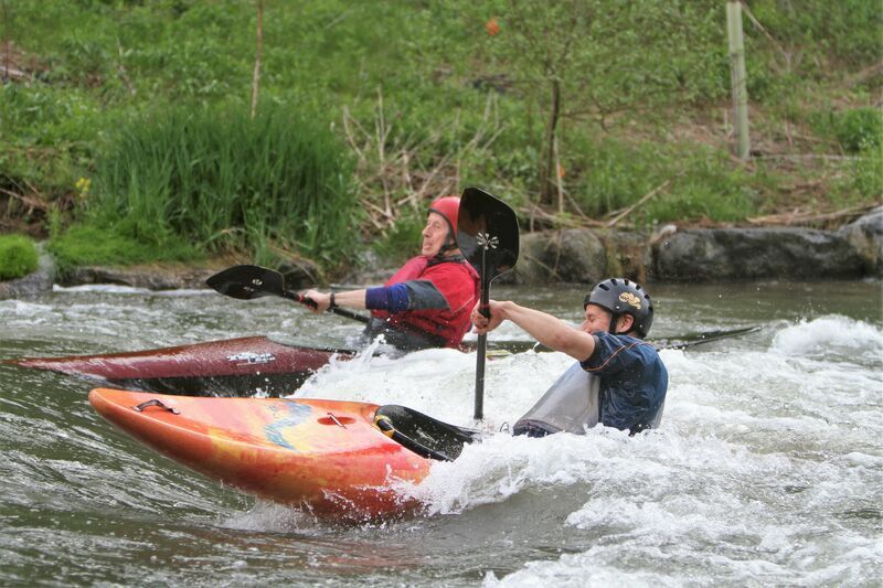
For a year-round paddling experience close to State College, you cannot beat Spring Creek. The first thing to note is that the stream is spring fed, which means the level is almost always good for paddling, even when the area experiences a drought. The run from Tussey Mountain Outfitters (TMO) to Bald Eagle Creek in Milesburg is a 2-mile paddle, therefore the shuttle is a quick 10 minutes along Rt. 144; very convenient for an evening paddles after work. Next, at the beginning of this run is Sunnyside Paddle Park, an official Olympic Slalom Training site where whitewater slalom gates are hung throughout the year. There are numerous rock weirs for training and eddy hopping. Additionally, there are some good surf/play spots along that stretch of creek:
Put-in - Tussey Mountain Outfitters - Bellefonte, PA

Sunnyside Paddling Park, featuring several eddy features, slalom gates, and a small hole feature is at the start of this stretch.
Small surf wave/hole, with good eddies on both sides. Not super deep, but good for some side-surfing. Can park and play this one by using the McCoy Access. This access is PFBC-controlled.
Take-out - Milesburg Community Park