| Difficulty | I-II+(III) |
| Length | 3.4 mi |
| Avg Gradient | n/a |
| Gauge | Little River Near Eatonton, Ga |
| Flow Rate as of 32 minutes | 55 cfsbelow recommended |
| Reach Info Last Updated | January 25, 2017 |
River Description
This is a fine example of a Piedmont stream. Long flatwater stretch followed by some decent whitewater where the stream loses most of it's gradient. When it gets wide, the action is about to begin. Scenery is nice and the riverbanks have very few houses except at the bigger shoals. The river gets a decent amount of water from Glade Creek. The only problem is that the confluence is directly past the last ledge so the low doesn't help the rapids at all.
Special thanks to Gary Debacher for his input from his runs several years ago.
River Features
Put in shoal
Access PointDistance: 0 mi
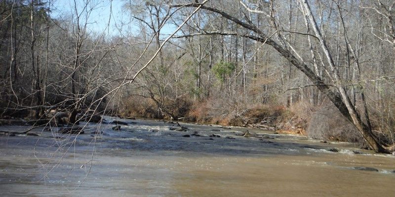
On the upstream river left side of the one lane bridge on Martin Mill Road is a place you can pull off and park. Its small so try to leave one car there. There is a class 2- shoal there. It is bumpy at low water
First Ledge
OtherClass: IIDistance: 2 mi (approx.)
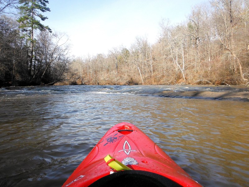
After about 2 miles of flatwater you come to an easy to negotiate ledge.
Rocks before bigger ledges
OtherClass: IDistance: 2.5 mi (approx.)
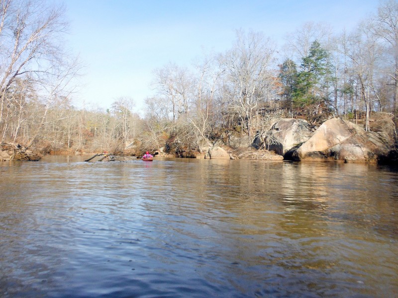
About .5 miles after the first ledge you will see some large rocks on river right. The biggest rapids in this run are just beyond.
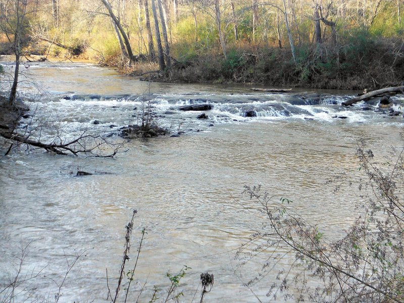
Second Ledge
OtherClass: II+Distance: 2.7 mi (approx.)
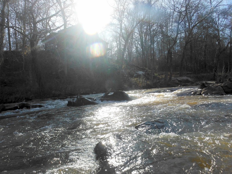
This is the first of the 3 decent rapids on this stretch. There are strainers on the right side to avoid.
Third Ledge
OtherClass: II+Distance: 2.8 mi (approx.)

At a decent horizon line you will find a ledge with a couple of routes. Low water it seems to be easier to run farther right
Last Ledge
OtherClass: II+Distance: 3 mi (approx.)
At the final horizon line there is a decent ledge that at low water has a far left or far right line. At the time of this writing there are strainers in both paths. The right side has a tree in the run out that could present issues.
Highway 16 Bridge (Take out) - read description.
Access PointDistance: 3.5 mi (approx.)
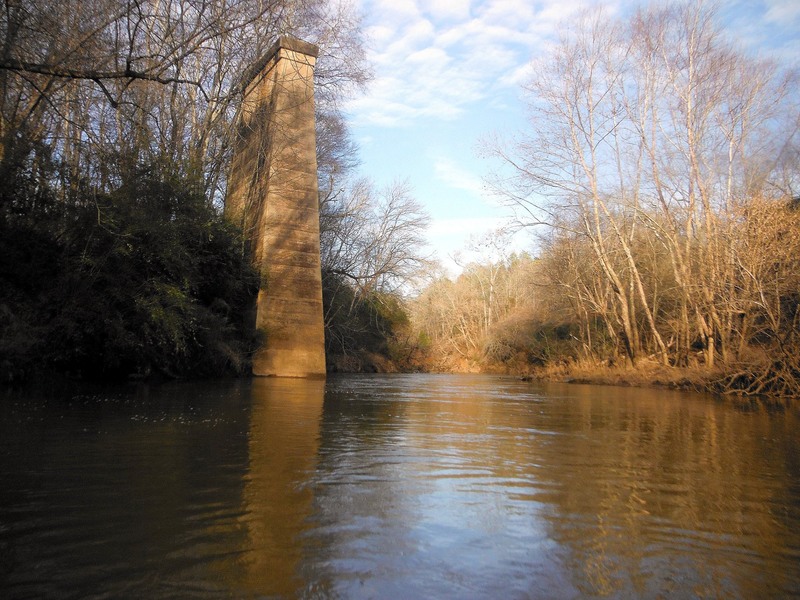
Shortly after the bridge structure in the photo you come to the Highway 16 bridge. Take out on river left and hike up to your car. You can park on the East side of the bridge. Dont block the dirt road that goes on to the river. You can also put in here to float to Glenwood Springs Road.