Emile Creek
End of "BLM 2 2 Rd" to Little River
Feb 15, 2017
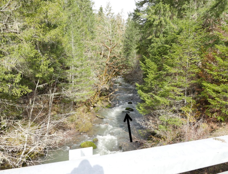
Looking upstream from the lowest bridge over Emile Creek (Little River Rd Bridge) Feb 12, 2017 with 1,200 cfs on the Little River gauge. This was a low, but acceptable level for figuring out the run.
If there is any water what-so-ever going over the rock with the arrow pointing to it, there is enough water in Emile Creek. If there is no water going over it at all, it is too low. The upper limit is unknown.
Feb 15, 2017
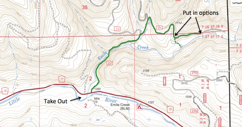
The Shuttle for Emile Creek (shuttle road is indicated with the green line). Either walk down the nose of line indicated by the dashed line, or continue up the road a short distance to where the road gets nearer to the creek. What is in that upper 1/4 mile upstream of the nose of land is unknown as of 2017.
Feb 15, 2017
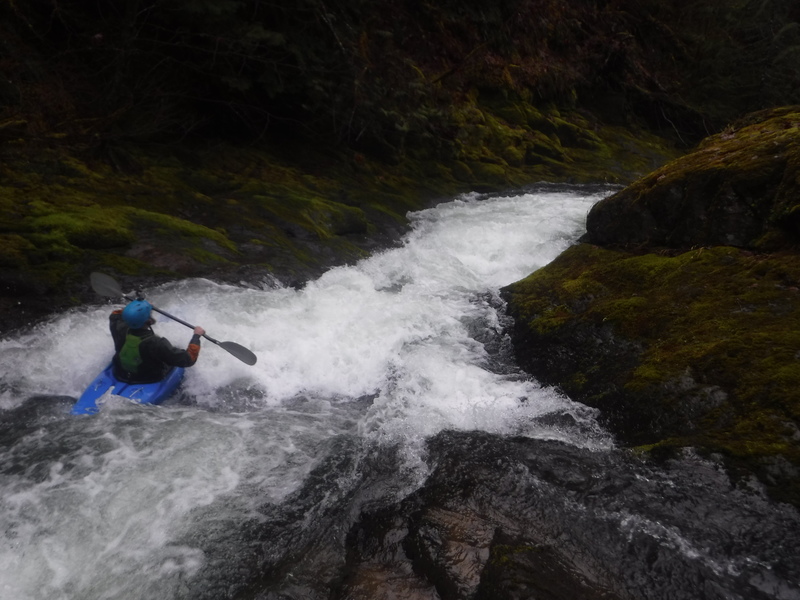
In the first bedrock section of Emile Creek.
Feb 12, 2017
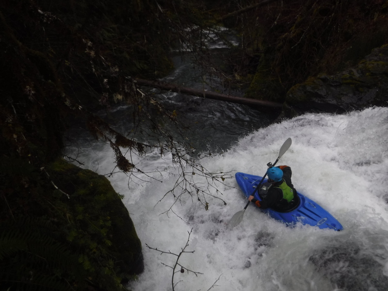
A fun ledge below the bridge on Emile Creek.
Feb 12, 2017
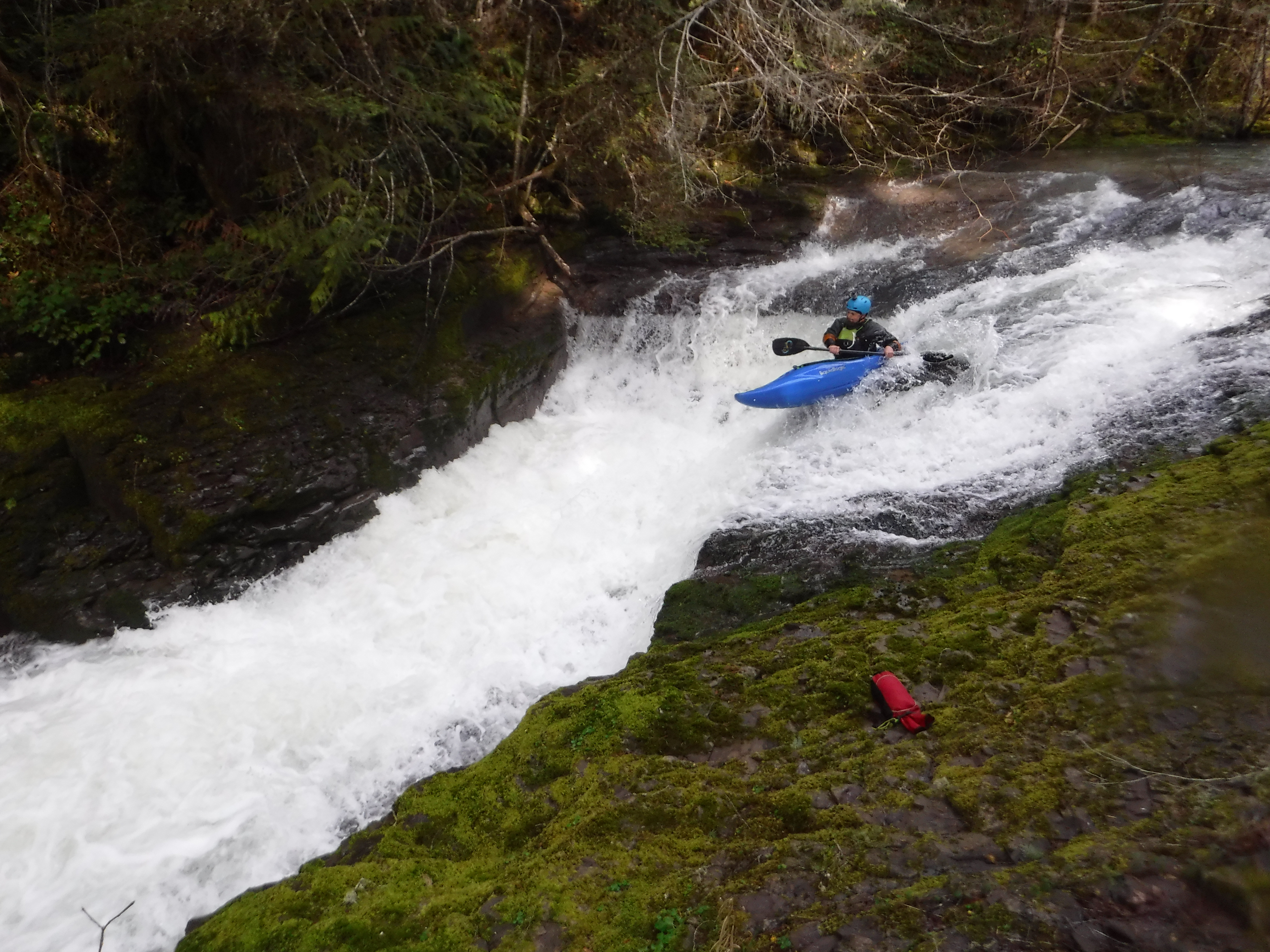
The bottom tier of Self Satisfaction.
Feb 12, 2017 @ 1,200 cfs on the Little River gauge
Feb 12, 2017
Jan 12, 2017
Little River @ 1,100 cfs