Trip Reports
Log in to add a reportMB
Upper Dolores high flow, low-clearance bridges - Matt Barnes
May 19, 2023
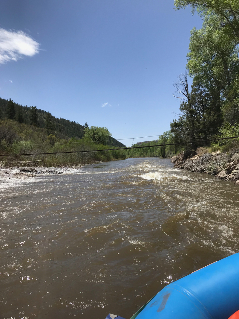
I paddled the Upper Dolores from Big Rock (the alternative put-in for this section) down to Dolores during high flow at 4400 cfs on May 19, 2023 (actual high flow occurred during the pre-dawn of May 17). At this flow the river is high and fast, runnable by kayaks but not recommended for rafts.
During the previous high-flow year, a few Montezuma County SAR personnel rafted this section at high water, about 4000 cfs, on June 8, 2019 (the peak occurred that night, June 9). At the Road 36 (Stapleton) Bridge (6.8 miles from the West Fork), and again at the cable footbridge (7.3 miles from the West Fork), we had to duck down in the raft (no sitting on the captain's seat!). At the Road 36 bridge, we also shipped the oars. These two bridges become dangerous to rafts above 3000 cfs, and I believe this is why American Whitewater lists 3000 cfs as the maximum flow for this section of the Dolores.
In May 2023, at about 4400 cfs, I set a personal speed record from Big Rock to Dolores Beach (about 8.36 miles), of 00h:47m:27s, or ~10.6 mph. Someone has probably done it faster.
TF
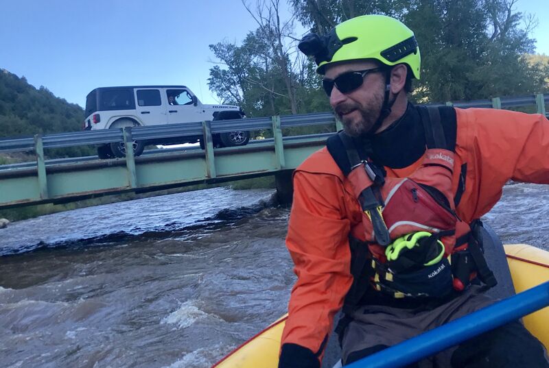
High Water Fun- May the fourth be with you - The Fett
May 4, 2023
Great day to packraft. Low wire bridge too low for large rafts at 4,000 CFS. Easily navigatable on left and right of center for ducky or kayak. High flow produces great features to play in. Cold, as usual, so use some discretion in clothing and gear. Was still chilly with 3mm neoprene and a few layers. 601-433-4193 if wanting to do Rico or town run with friends.
NF
Nathan Fey
Jun 20, 2018
Low wire bridge (7.6mi): not passable above 3,000 cfs