Potomac
0.2 Paw Paw Tunnel Campground to Fifteen Mile Creek Boat Landing(Paw Paw Bends)

| Difficulty | I |
| Length | 21 mi |
| Avg Gradient | n/a |
| Gauge | Potomac River at Paw Paw, Wv |
| Flow Rate as of 1 hour | 4.30 ftlow runnable |
| Reach Info Last Updated | September 2, 2023 |
Because of the length of this section, it is usually done as an overnight canoe camper with an overnight camp stop at Sorrel Ridge C&O Canal Campground (7.3 miles below the Paw Paw access). This also gives the canoe camper a chance to explore the C&O Canal Paw Paw Tunnel. River Access (put-in or take-out) is available at Bonds Landing (11.4 miles below Paw Paw). Campgrounds below Sorrel Ridge include: Stickpile Hill C&O hiker/biker (12.1 miles below Paw Paw) and Devils Alley C&O hiker/biker (17 miles below Paw Paw). Take-out is at the mouth of Fifteen mile creek at Little Orleans, MD (21.7 miles below Paw Paw).
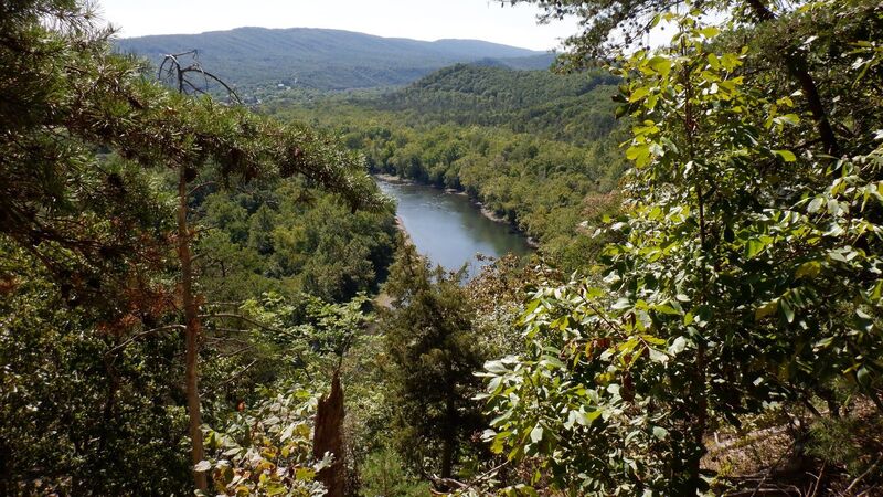
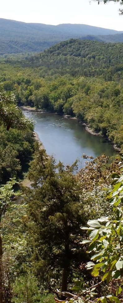
River Access can be found at the Paw Paw Tunnel Campground which is located at Mile 156 on the C&O Canal Towpath on the Maryland side of the Potomac River, across from the town of Paw Paw in West Virginia. On the West Virginia side, there is also a concrete boat ramp off W.Va. State Route 9 allows access to the Potomac near the bridge across the river. At this boat ramp, there is parking for about 20 vehicles.
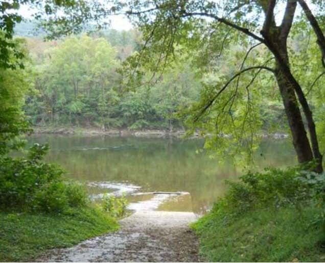
Bonds Landing Access Point. Directions: From I-70 W to I-68 W. Take exit 68 for Orleans Rd, keep left at the fork and follow signs for Orleans Rd S. Left at Orleans Rd NE. Right at Oldtown Orleans Rd SE. Left onto Carroll Rd. Left onto Kesacamp Rd. A sign will show the road to Bond's Landing. Vehicles with 4X4 capabilities can make a right onto Kasecamp Road from Carroll Road. This route is shorter but involves fording the stream (in season) twice. A boat ramp at Bond's Landing here provides easy access to the Potomac River for boating, camping, and canoeing. A canoe campsite is available on a first-come, first served basis at Bond's Landing. This site provides access to a winding section of the Potomac River which is runnable year-round except after severe drought. Paddlers travel at approximately 1.5 miles per hour during normal water conditions. Though most of the way is flat or moving water, the river must be considered potentially dangerous at all times. River currents are strong, deceptive and unpredictable. Paddlers should always be aware of the weather forecast when preparing for a trip. Please report any problem to a Forest Service employee or call Park Watch at 1-800-825-7275 or Natural Resources Police 1-301-777-7771 or 1-800-628-9944.
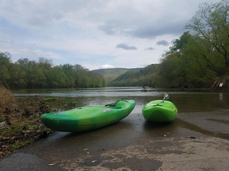
Boat Ramp at the mouth of Fifteen Mile Creek at Little Orleans, MD. Maryland side. Little Orleans is the second oldest community, after Oldtown, on this stretch of the Potomac River. It is well-known for the campground, which is frequented by hikers and bikers on the nearby C&O Canal. This site was updated and reopened in 2013. It features a dual lane boat ramp, permanent restrooms, and expanded parking. Directions: From I-70 W to I-68 W. Take exit 68 for Orleans Rd, left at the fork & follow signs for Orleans Rd S. Left at Orleans Rd NE. Look for signs for Bill's Place. Make a left at the bottom of the road, go past Bill's, under the bridge & make a right to the site.