Pigeon, West Fork
3.5 Along Hwy 215 (Middle)
| Difficulty | III+ |
| Length | 2.1 mi |
| Avg Gradient | n/a |
| Gauge | Pigeon River (nc) Above (w Fork) Abv Lake Logan |
| Flow Rate as of 33 minutes | 0.92 ftbelow recommended |
| Reach Info Last Updated | March 13, 2025 |
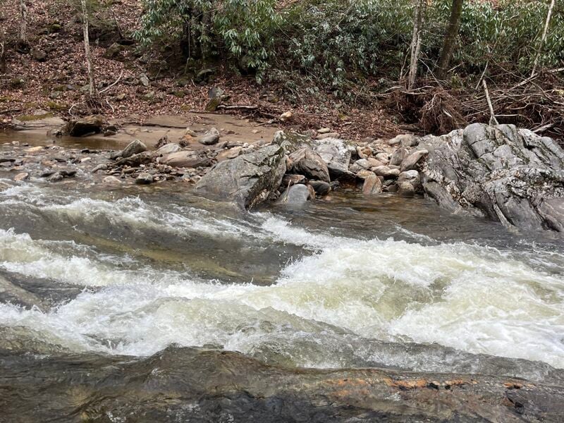
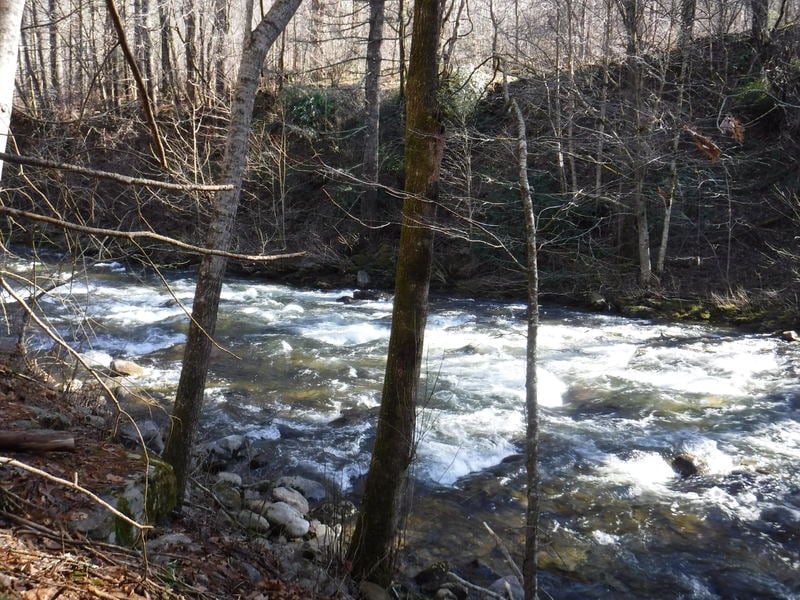
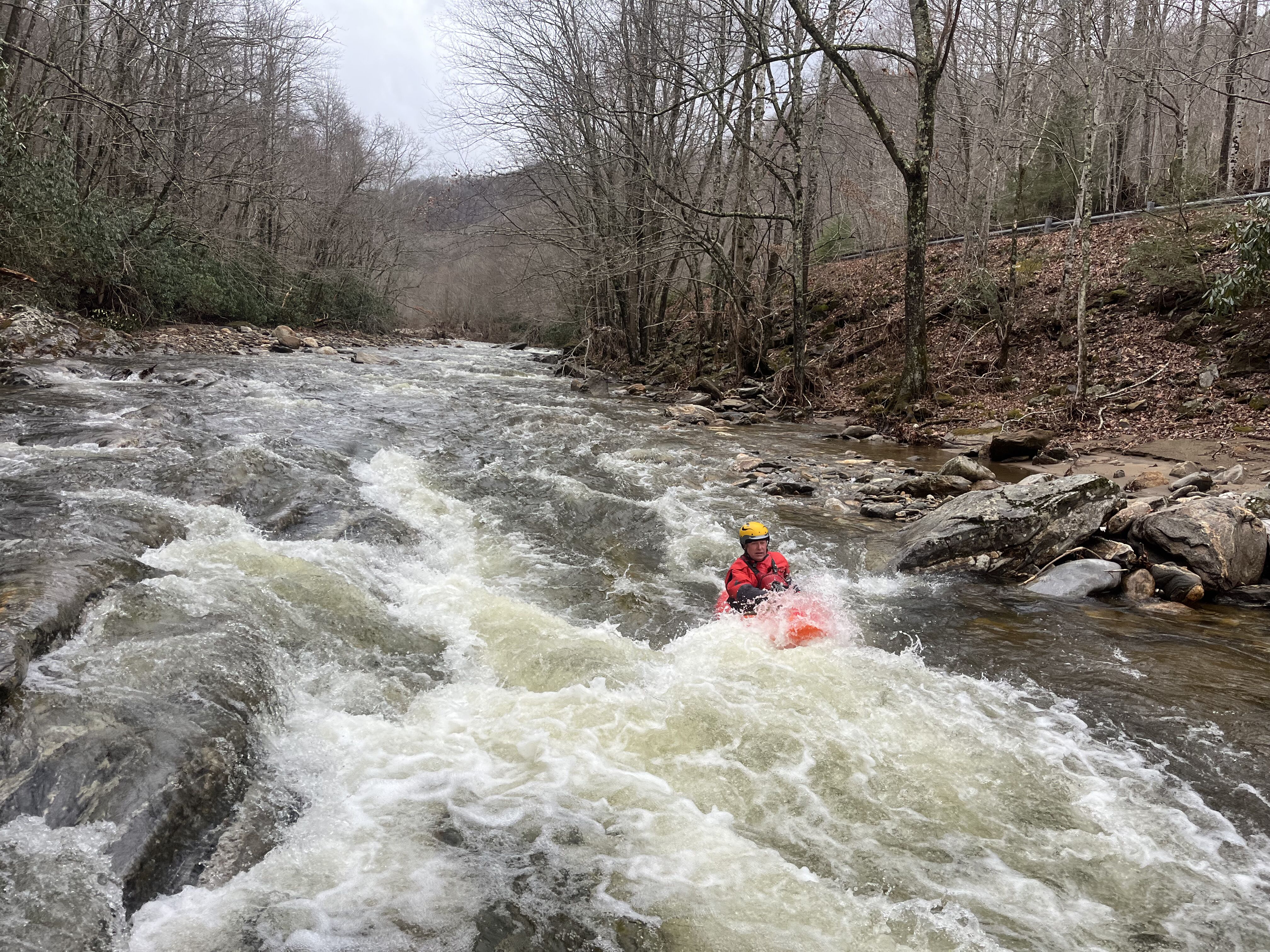
When the creeks in Pisgah are high, the middle section of the West Fork of the Pigeon offers a great but short option for a western style read and run paddle. At flows around 3.6 to 3.8 on the stick gage just upstream from the takeout you can expect continuous Class III/III+ rolling wave trains and almost no eddies. Lots of fun surfing on the fly. Obviously it gets creekier at lower flows.
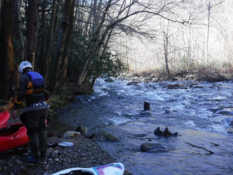
Put in at the confluence of the Middle Prong and the West Fork, and take out at the unmarked big NC Wildlife Resources Commission parking lot a quarter mile or so below the metal bridge over the West Fork (which is where the gage is) and down a short gravel driveway. If you go too far downstream you'll end up with private property issues.
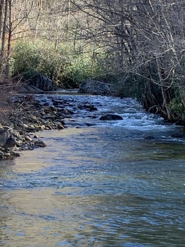
Good public access exists at Sunburst where the Middle Prong joins the West Fork.
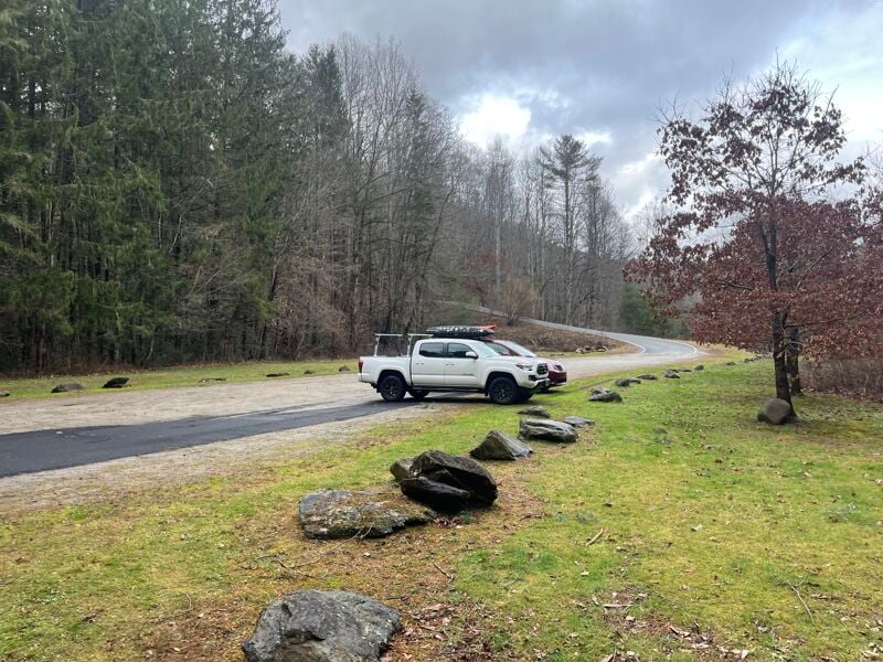
NC Wildlife Resources Commission parking lot. Great Public Access!
Dec 28, 2024
Brian Byrd and I snuck in a lap as the river dropped through the low but runnable range. The rapids themselves where still fun, but there was a fair bit of rock bumping and dodging between the rapids. The only wood was an obvious multi-tree jam just downstream of the gauge bridge that was an easy walk on the right. It was clear that the surf features would come in with a bit more water, with the exception of the wave right at the shooting range that had some good form. This run confirms an earlier guess that for most people 2.5 is probably a good minimum, though rock-tolerant folks can go lower.
Jan 6, 2019
3.05
Jan 6, 2019
362’ of drop over the 2.2 mile run
Jan 6, 2019
Pretty continuous action