| Difficulty | I-II |
| Length | 17.5 mi |
| Avg Gradient | n/a |
| Gauge | North Branch Potomac River Near Cumberland, Md |
| Flow Rate as of 1 hour | 444 cfsbelow recommended |
| Reach Info Last Updated | April 7, 2026 |
River Description
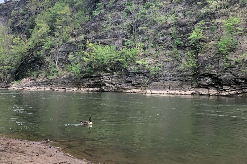
Full run is 17 miles long - moving and flat water, depending upon level. The Wiley Ford Boat Ramp, 4.1 miles in and the Spring Gap Boat Ramp, 10.6 miles in, offer an opportunity to do a shorter run. First C&O Campground is Evitts Creek hiker/biker camp at approximately 1 mile from put-in. Evitts Creek Aquaduct will be passed at about 1.4 miles below put-in. Iron Mountain C&O hiker/biker campground on MD side and boat ramp on WV side (access road under railroad bridge) is about 8.4 miles from top. Spring Gap C&O hiker/biker campground and boat ramp is about 10.6 miles from the top. Pigman's Ferry C&O hiker/biker campground is about 15.0 miles from the top.
River Features
Put In - Mason Recreation Boat Ramp
Access PointDistance: 0 mi
The Mason Recreation Boat Ramp on the Maryland side is one of several possible put-ins. The Mason Recreation Area is a multi-use recreations facility which features ball fields, basketball courts, a playground, restrooms, and picnic tables. Canoes and kayaks can be launched at this boat ramp. There is also an ADA loading platform in the parking area. The recreation complex is closed during the winter. Directions: From I-68 W, take exit 42-B follow Industrial Blvd (MD-51) southbound 1.2 miles. Right onto Virginia Avenue for 0.3 miles. Left onto Offutt Street and continue for 0.5 miles. Right at the entrance to the Mason Recreation Complex, follow the boat ramp signs along the Mason Recreation Road (through the facility) for approximately 0.25 miles.
Wiley Ford Boat Launch / River Access
Access PointDistance: 4.08 mi
River Access: Wiley Ford Boat Launch / River Access
Spring Gap Boat Ramp
Access PointDistance: 10.8 mi
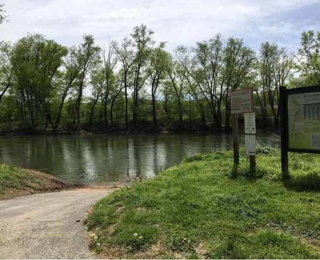
The Spring Gap boat ramp is located off Md. Route 51, 8 miles south of Cumberland. It has parking for 8 vehicles and camping. Directions: From I-70 west, take exit 1A to merge onto I-68/I-40 west toward Cumberland. Take exit 43B for MD-51 toward Industrial Blvd/Airport. Right at MD-51 (Mechanic Street) south, continue onto Oldtown Road Southeast.
Trip Reports
Log in to add a reportNo trip reports yet.