| Difficulty | II+ |
| Length | 11.5 mi |
| Avg Gradient | n/a |
| Gauge | Youghiogheny River at Ohiopyle, Pa |
| Flow Rate as of 19 minutes | 1.87 ftlow runnable |
| Reach Info Last Updated | November 12, 2022 |
River Description
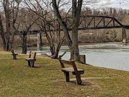
This section, putting in at 'Bruners Run' access (the usual Lower Yough take-out - if you buy a bus token in Ohiopyle [or just pay the bus driver $5.00], you can run the shuttle backwards) and running down to Connellsville. There is a nice surfing wave on river left, just below 'Bruners Run' followed by about 2 miles of interesting class II+ rapids. Below that, it's another 1.5 miles to Indian Creek & railroad aquaduct on river right. Then the river enters a beautiful (roughly) 3 to 4 mile gorge through Chestnut ridge. Below that, it opens up and the towns of Dunbar and South Connellsville begin to encroach on the river. After about 2 miles, in South Connellsville, there is a river wide Dam (portage river right). The last 2 (or so) miles into Connellsville are industrial and ugly. Take-out is at the Yough River Park under the US 119 bridge in Connellsville, PA.
River Features
"Bruners Run" Put-in
Access PointDistance: 0 mi
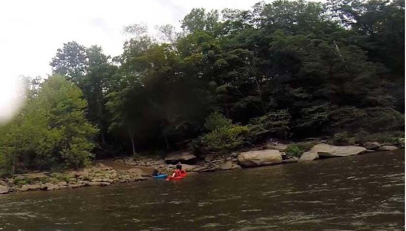
During the permit season, you can buy a bus token in Ohiopyle, PA (or just go to the 'Old Mitchell Place' parking lot and pay the bus driver $5.00) and run the 'Bruners Run' shuttle backwards.
"Surfing Wave Below Bruners"
PlayspotClass: II+Distance: 0.1 mi
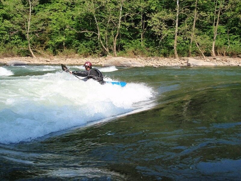
About 300 yards below 'Bruners Run' river access is a surfing wave that is very similar to 'Swimmers' wave. It is on the river left side at the bottom of the 'Bruners Run' pool. Without too much effort, a paddler could drop off the pool and surf the wave... then ferry across to a beach on river right and carry back up the beach to the 'Bruners Run' pool and ferry across the pool back to the 'Bruners Run' river access.
"Diamond Rock"
OtherClass: II+Distance: 0.7 mi

Go river left of a sharp rock that juts into the current from river right.
"Single Hydraulic"
OtherClass: II+Distance: 1 mi
Riverwide ledge with a tongue into a 'Single Hydraulic' to punch.
"Camels Eye"
OtherClass: IIDistance: 1.5 mi
This rapid is basically a rolling shoal with a line down the center right. A lot of shoals, moving water or flat water from here on down.
Indian Creek Railroad Aquaduct
Access PointDistance: 4 mi
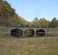
Railroad Aquaduct on river right over Indian Creek. From the closing of the Stewarton access at the end of the 1976 season to the opening of the Bruner Run access at beginning of 1979 boating season, all commercial and private boating took out at Indian Creek, on right at the aquaduct. Some entity, either the state or the outfitters, arranged for a bus shuttle from there on out to the highway, where everybody parked. Even with long boats of the time, whitewater paddlers were not happy. The commercial rafting outfitters were very very unhappy. Today I'm told there's an awful jeep trail down the right side of the river to the Aquaduct that's worse than the Jenkinsburg bridge road to the Cheat Canyon take-out. There's also a church camp on river left.
Chestnut Ridge Gorge
OtherDistance: 4.4 mi
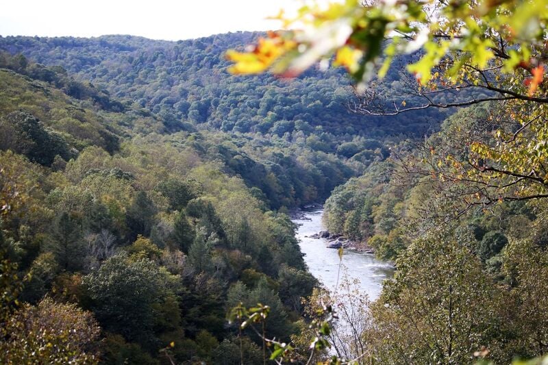
This starts the beginning of a roughly 3 to 4 mile gorge through Chestnut Ridge. Beautiful gorge, but no major rapids.
South Connellsville Dam
PortageHazardDistance: 9.3 mi
Dam across the river. Portage at river right. The river is very industrial and really sucks from here on down to the Connellsville take-out.
Yough River Park, Connellsville, PA
Access PointDistance: 11.5 mi
Take-out is at the Yough River Park, river left, under the US 119 bridge in Connellsville, PA