Rio Grande
07. Lasauses to Lobatos Bridge
| Difficulty | I-II |
| Length | 20 mi |
| Avg Gradient | 3 fpm |
| Gauge | Rio Grande Above Trinchera Creek Near La Sauses |
| Flow Rate as of 1 day | 10 cfsstale data |
| Reach Info Last Updated | April 10, 2024 |
Alternate launch sites and river access information:
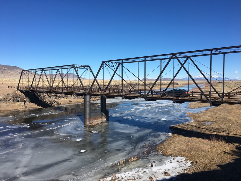
Hwy 142 Bridge: Boaters may choose to launch or take out at the Hwy 142 bridge, ~4.4 miles downstream of the Lasauses access site. There is an unimproved access ramp (river left) just upstream of the Hwy 142 bridge.