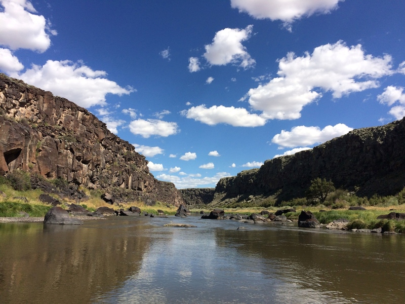
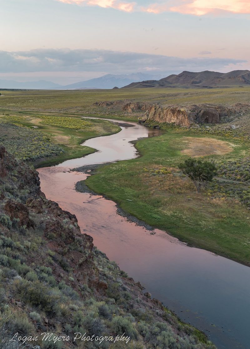
Rio Grande
08. Lobatos Bridge to Lee Trail

| Difficulty | II |
| Length | 21 mi |
| Avg Gradient | 7 fpm |
| Gauge | Rio Grande Near Lobatos |
| Flow Rate as of 1 day | 7 cfsstale data |
| Reach Info Last Updated | April 10, 2024 |
Rio Grande Recreational Flow Study In partnership with the Rio Grande Headwaters Restoration Project, and supported by grants from the Colorado Water Conservation Board and foundations, American Whitewater completed a Recreational Needs Assessment as part of a Rio Grande Basin Stream Management Planning effort (SMP). The final report was [...]Read More
Access:
County Road Z: Instead of ending this segment in Lasauses, many boaters choose to take out at County Road Z. There is an unimproved access ramp on river left just upstream of the County Road Z bridge.
*Boating is not permitted from Lobatos Bridge to Lee Trail (New Mexico) from April 1st to May 31st to protect sensitive wildlife breeding areas, including nesting raptors.