Mason Creek
Carvins Cove Rd (Rt. 740) to Kessler Mill Rd. (Rt. 630, under I-81)
| Difficulty | II-III |
| Length | 2.4 mi |
| Avg Gradient | 42 fpm |
| Reach Info Last Updated | May 22, 2025 |
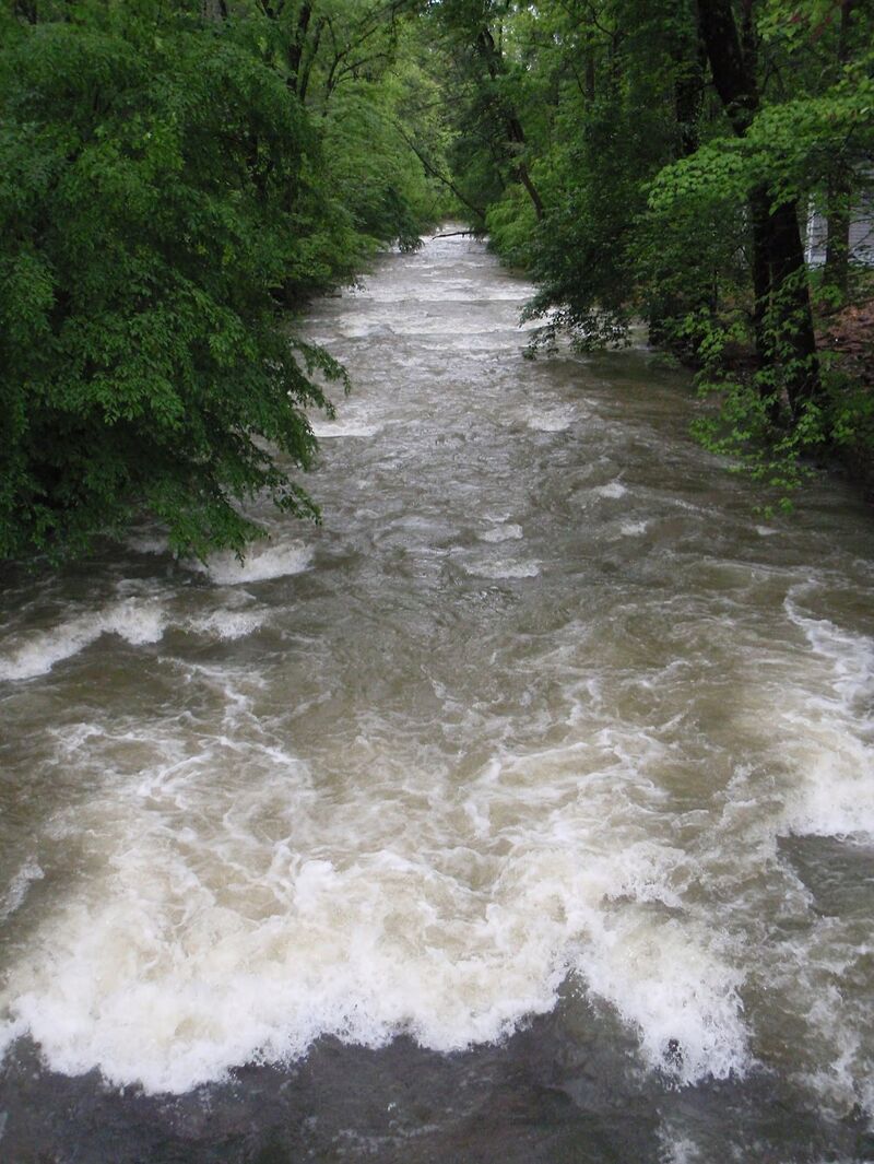
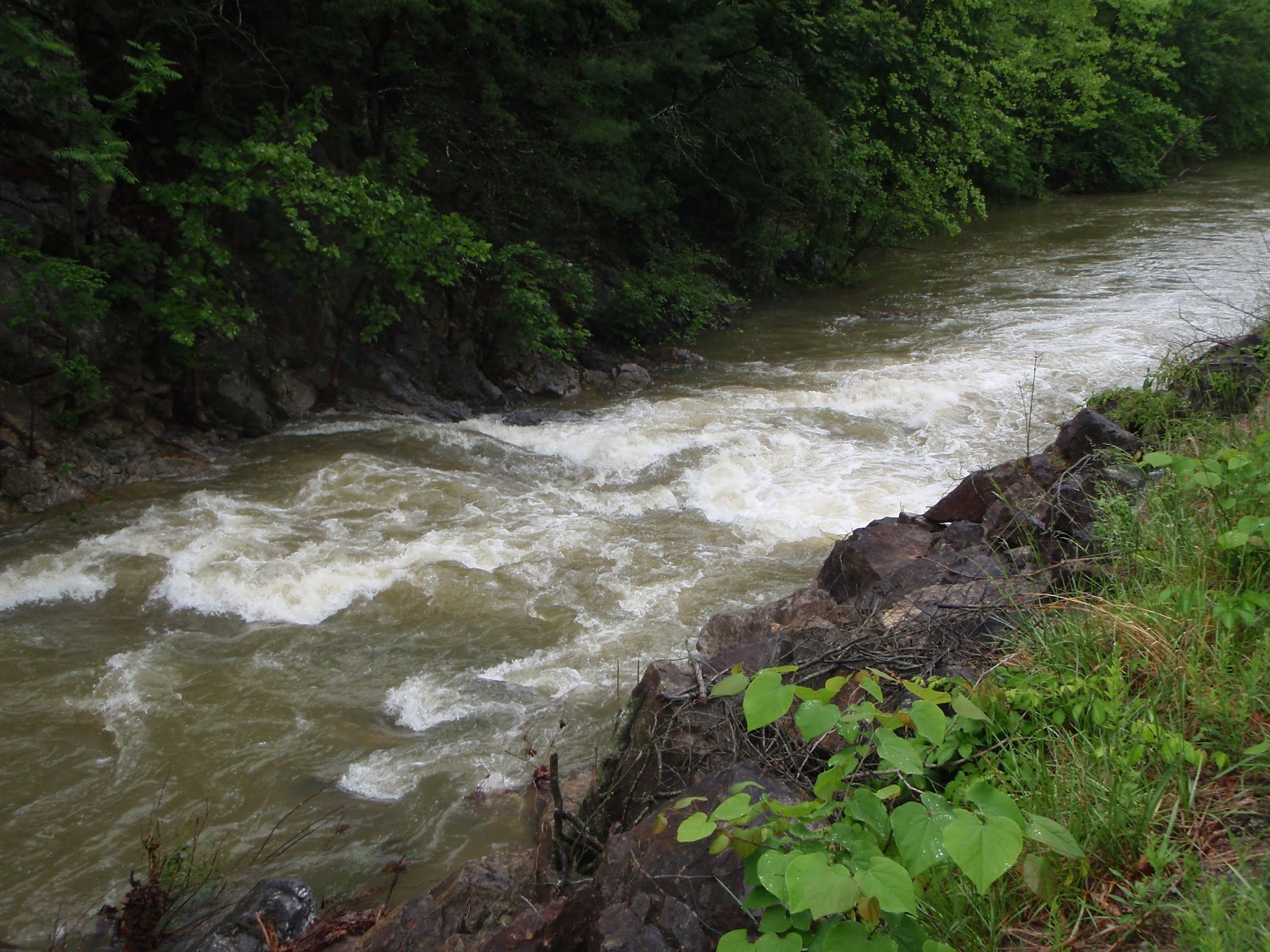
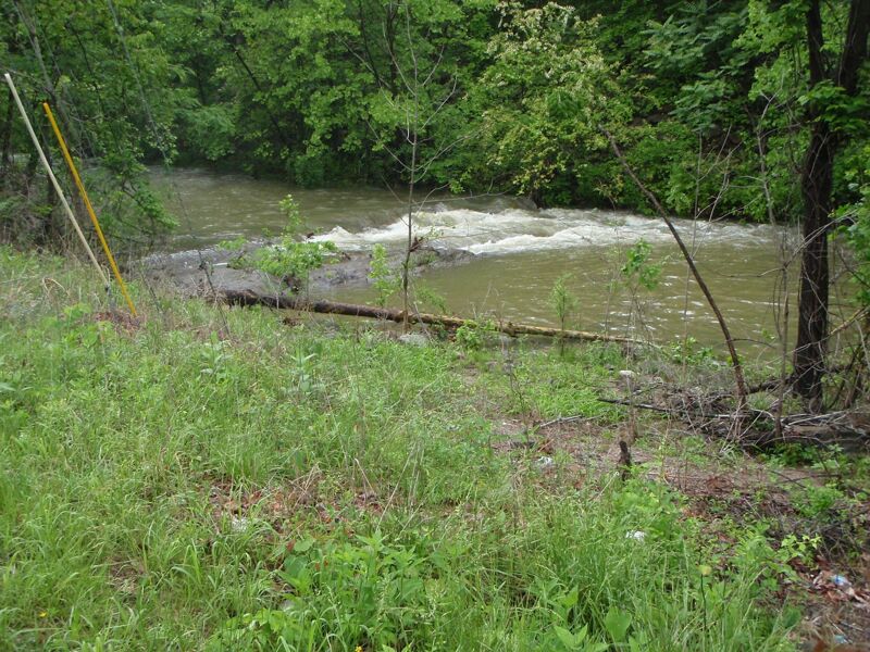
Mason Creek is a busy, fun, but short roadside run. It makes a good creeking intro with plenty of practice for reading tight lines and eddy hopping. Watch for wood, bridge pilings, and the occasional rope/wire strung across the creek. The biggest rapid is a straightforward II+ or III- that comes near the end of the run, after the creek makes a 90-degree left turn, and can be seen from Kesslers Mill Rd. on the shuttle.
There's a painted gauge on the downstream side of a bridge piling near the pedestrian bridge at Orange Market. 3 feet is the likely minimum. While there's no online gauge, nearby Johns Creek can be used as a proxy. Look for medium high to high flows on Johns as an indicator.
Video: https://youtu.be/M5sg1DT-lTw
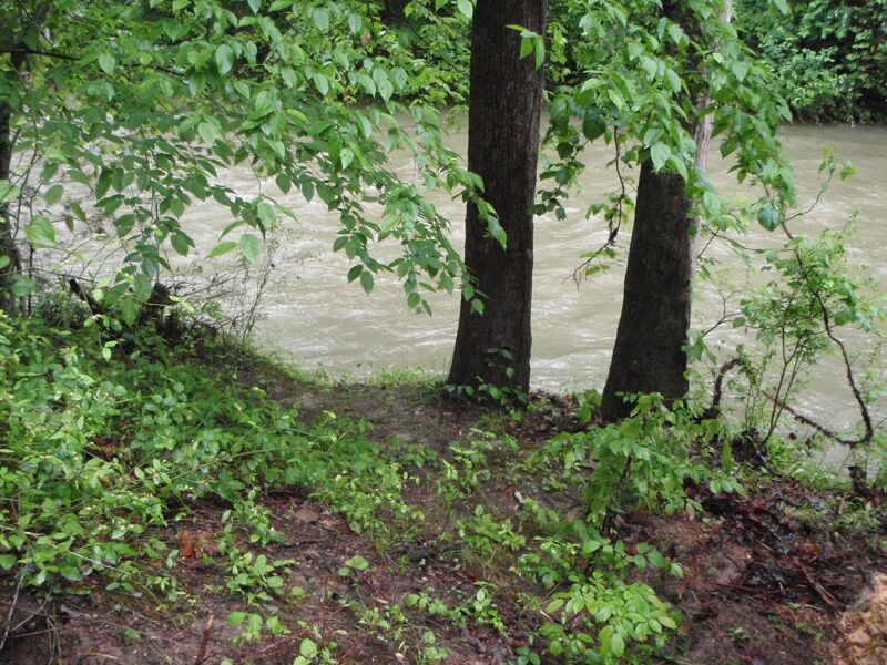
Put in river right at the intersection of Rt. 311 and Rt. 740 (Carvins Cove Rd). Downstream end of gravel pullout has the easiest trail.
Take out on river right under I-81, across from the parking area on Kessler Mill Rd.
Apr 29, 2020
At regular water level you will definitely be hitting rocks. SUP is not recommended at this level. Maybe at higher levels this would be a great creek run but you'd have to catch it after a heavy rain. Three falls make this a fun little place to practice for beginners. As of late April 2020 there is one impassable obstruction in the creek so you must take out and put back in. Fortunately you have plenty of time to see this and can walk either side of the creek.