Rocky Fork (South Indian Creek trib)
State Park Run
| Difficulty | IV(V) |
| Length | 0.9 mi |
| Avg Gradient | n/a |
| Permit | |
| Reach Info Last Updated | December 12, 2025 |
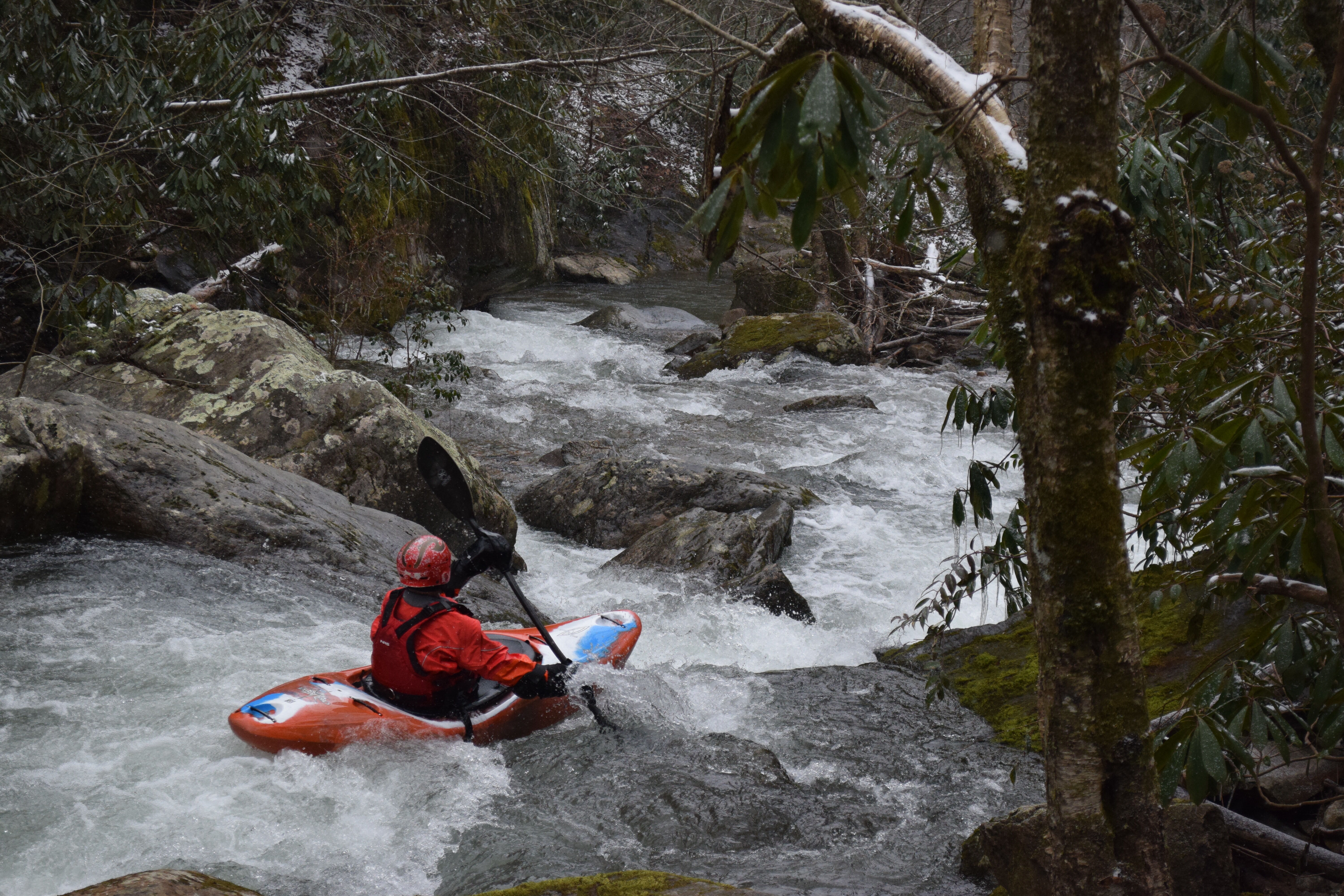
The Rocky Fork is a steep roadside micro-creek with one big stand-out drop and a handful of fun class IV+ rapids. Most start the run at the parking lot just shy of a mile upstream of the takeout near Flag Pond Road, but you can also hike up for some additional good whitewater including some harder stuff. The whole run can be scouted from the road. A foot gage on one of the bridges (by the takeout?) is used to calibrate flows. Roughly: 1.7 is low runnable and still fun, 2 feet is medium, 2.5 it's high, but judge for yourself.
No trip reports yet.