| Difficulty | II |
| Length | 6.6 mi |
| Avg Gradient | n/a |
| Gauge | Rio Grande Blw Taos Junction Bridge Near Taos, Nm |
| Flow Rate as of 42 minutes | 174 cfsbelow recommended |
| Reach Info Last Updated | March 17, 2020 |
River Description
This reach does not have a description. If you know about this reach, please tell us about it!
River Features
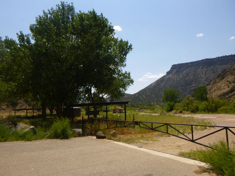
Put In: Taos Junction Bridge Boat Ramp
Access PointDistance: 0 mi
Large boat ramp with bathrooms and parking. Across the river is the Taos Junction Bridge campground, and across the street down a dirt road is the Rio Pueblo campground. BLM fee day use fee dropbox is located next to the bathrooms.
Riffle
RapidClass: IIDistance: 0.03 mi
Almost immediately below the boat ramp the river splits into two channels at lower flows, the left channel usually having more water but also larger rocks. The left channel will try to push boats into the left shore.
Riffle
RapidClass: IIDistance: 1.15 mi
At low water shallows begins here that might require hugging the left shore. At lower flows watchout for a mid-channel boulder about half-way down the left channel.
Hondo Canyon
OtherDistance: 1.6 mi
Enters on the left. Incidentally this is the same canyon that forms the 'horseshoe' section of state road 68 between Pilar and Taos.
Below Taos Junction Bridge Gauge
OtherDistance: 1.7 mi
USGS gauge used for determining flows for the Lower Taos Box upstream (minus the Rio Pueblo gauge), the Orilla Verde, and the Racecourse downstream.
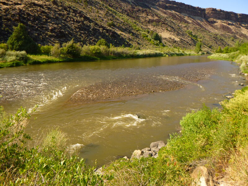
Gauging Station Rapid
RapidClass: IIDistance: 1.76 mi
Really a II+ rapid that is one of the two or three major rapids in this section. Typically the rapid is ran entering on the right just as the river flows toward the right bank and care is taken to maneuver down this right channel. Some rocks at the bottom of the rapid form holes at moderate flows. At very low flows more boulders stand out in the right channel and maneuvering can be very tricky.
Petaca Campground
OtherDistance: 2.85 mi
As of this writing Petaca is currently under renovation.
Riffle (Dead Car)
RapidClass: IDistance: 3.06 mi
At lower flows river speeds-up as it gentle swings toward the right. Look for a dead car hidden in the underbrush on the left bank.
Petaca Canyon Riffle
RapidClass: IDistance: 3.1 mi
The river speeds-up between some boulders at the mouth of Petaca Canyon.
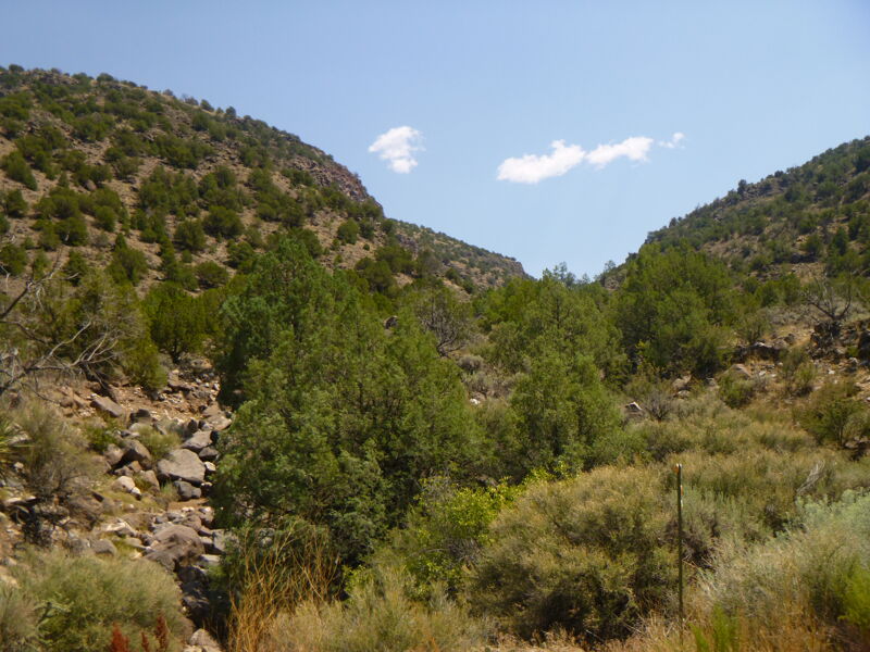
Petaca Canyon
OtherDistance: 3.1 mi
Large canyon that enters on the right. A story tells of a 'petaca' filled with gold that was lost by a local Spanish official who fled up the canyon to escape the Pueblo Revolt in the late 1600s.
Lone Juniper Boat Ramp and Campground
OtherDistance: 3.58 mi
Concrete boatramp with nearby bathrooms, parking, and campground.
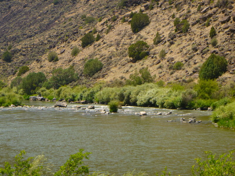
Arroyo Hondo Riffle
RapidClass: IIDistance: 3.7 mi
Usually just follow the v-slick down the middle into the standing waves. Sometimes the river will push boaters too close to the right where there are submerged boulders.
Arroyo Hondo Campground and Canyon
OtherDistance: 3.76 mi
Campground and beach on the left just below Arroy Hondo Rapid. The canyon enters the gorge on the left.
Riffle
RapidClass: IIDistance: 3.8 mi
Just below Arroy Hondo campground the river splits around an island (at low to moderate flows) with most of the current going into the left channel. Watchout for a large broken boulder in the left channel that you wouldn't want to swim into!
Riffle
RapidClass: IDistance: 4.1 mi
At moderate to low flows the river splits around an island - use the wider left channel.
Rio Bravo Campground
OtherDistance: 4.38 mi
Large campground on the left. Includes bathrooms and large covered areas.
Riffle
OtherDistance: 4.54 mi
Shallows form at low flows and the river splits around an island at moderate to low flows. The left channel is usually the most popular line and at low flows it may require getting very close to the left shore. Near the bottom of the island boaters in the left channel will find the river trying to push them into the left shore.
Quiet Zone
OtherDistance: 4.93 mi
A quiet zone is enforced through the village of Pilar - no loud noises and please keep voices at a conversational volume.
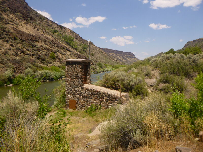
Riffle
OtherClass: IDistance: 5.43 mi
River speeds up near the site of bridge pilons from an old washed-away bridge.
Pilar Bridge
OtherDistance: 5.54 mi
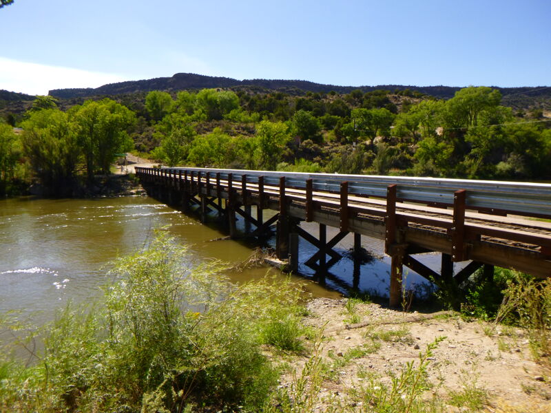
Watchout for fishing line hanging from the bridge. There is a sharp-edged bridge pilon brace on one of the pilons near the left shore.
Riffle
RapidClass: IDistance: 5.55 mi
The river splits around an island immediately below the Pilar Bridge. The narrower right channel has the most water in moderate to low flows.
Diversion Dam
RapidClass: IIDistance: 5.99 mi
The river passes over a low drop made of boulders. At low to moderate flows look for a v-slick over the drop left of center. Not far below this drop is Cieneguilla rapid.
Karmic Wave Rapid
RapidClass: IIDistance: 6.04 mi
The river splits around an island - take the wider right channel. A mass of roots from a riverside tree on the right sits in the river along the right bank and could a serious strainer hazard.
Cieneguilla Rapid
RapidClass: IIIDistance: 6.04 mi
Generally this is a class II rapid but at times it has been considered class III in the past. At moderate to high flows the rapid isn't usually difficult with the most popular line left of center or along the right shore. At lower flows an island forms in the middle of the rapid and the most popular line is the rock-chocked left channel. Be careful at the bottom of this rapid if running the left channel: the river pushes boaters toward the left shore and in the past boaters have been pulled out of their boat by the Russian olive trees overhanging the river! Another challege in this rapid is the line can be significantly altered due to large washes of water and rocks coming down into the Rio Grande from the Cieneguilla Arroyo on the left.
Riffle
RapidClass: IIDistance: 6.24 mi
The river again splits around an island - take the right channel. At moderate to low flows watchout for rocks along the right shore in the right channel.
Take Out: Quartzite River Access
Access PointDistance: 6.6 mi
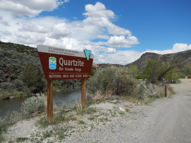
Two large gravel beaches usually allow for ample room to take-out, but during summer months (especially in the mornings and early afternoons) there could be lots of river traffic as boaters put-in here for the Racecourse section downstream.