Buffalo Fork, North Fork
Hike In
June 9, 2025
| Reporter | Shannon Golden |
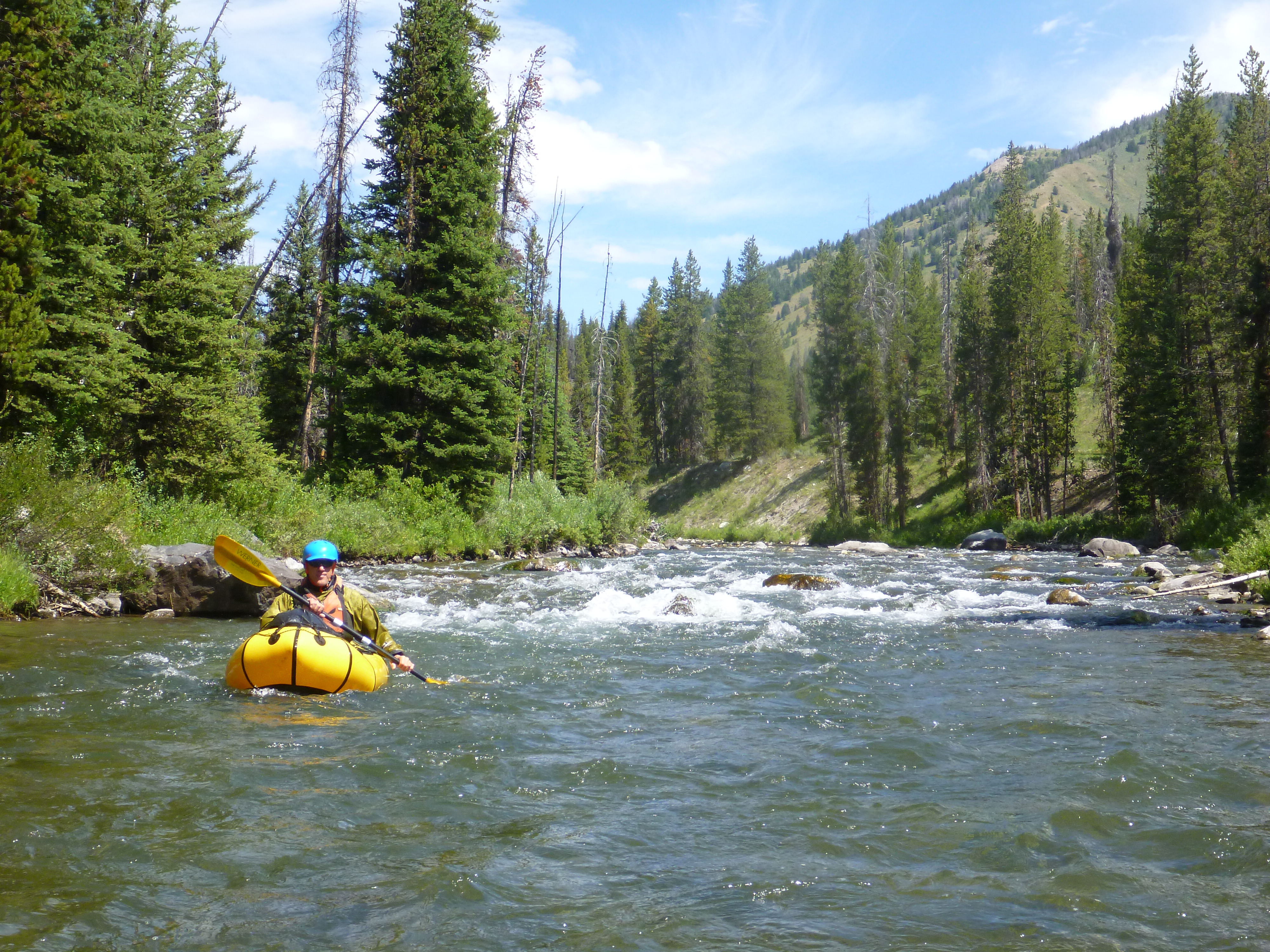
We hiked from Turpin Meadow Campground via the Clear Creek Trail (10 miles). Would recommend hiking in on North Buffalo Fork Trail instead, to have the possibility of checking the river. Put in around North Fork Meadows. Short bit of flat water and then the river starts moving and the canyon walls narrow. Unfortunately, about 1.5 miles in, we found the first strainer (43.9279872, -110.2028891). The walls are steep and there are few eddies. We managed to avoid the strainer and climb along river right to scout potential options to get back into the river. Traversing this area is difficult, due to steep banks and significant deadfall. We continued to see multiple strainers that prevented us from resuming the paddle, and returned to the trail to hike out. The amount of wood in this section of the river, and the difficulty of scouting and portaging on this terrain, makes it seem unlikely that this section can be safely run for quite some time.