| Difficulty | II |
| Length | 65 mi |
| Avg Gradient | n/a |
| Permit | Permits are required year-round for all overnight river trips and available by reservation with mid April to mid October launch dates made available the December prior and mid October to mid April launch dates made available the June prior. |
| Gauge | Colorado River at Potash, Ut |
| Flow Rate as of 1 hour | 1690 cfslow runnable |
| Reach Info Last Updated | February 4, 2026 |
River Description
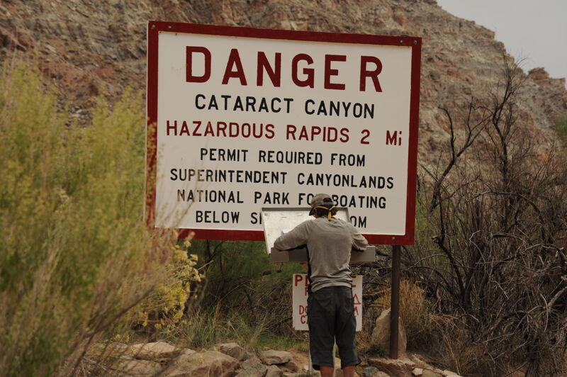
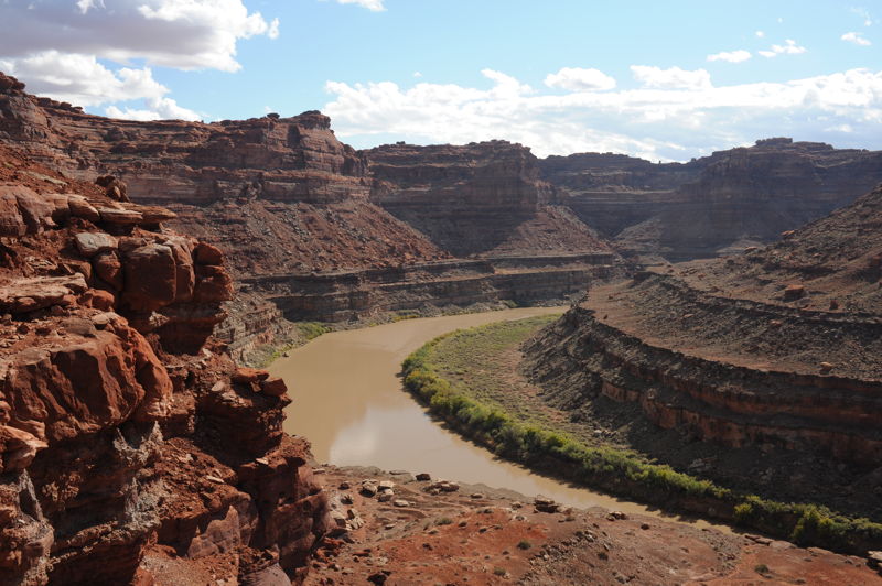
This is a great float trip through Meander Canyon of the Colorado River along Bears Ears National Monument and then through Canyonlands National Park. The segment ends just below the confluence of the Green River at Spanish Bottom on river right. Those who want to enjoy a few days (standard trips are 2-3 days) on the river without any intense whitewater can float down. There are a couple options to get out, pre-arrange a jet boat shuttle back upstream on the Colorado, hike out if packrafting or continue down through Cataract Canyon downstream of the Green River Confluence.
River Features
Moab Bridge Boat Launch
Access PointDistance: 0 mi
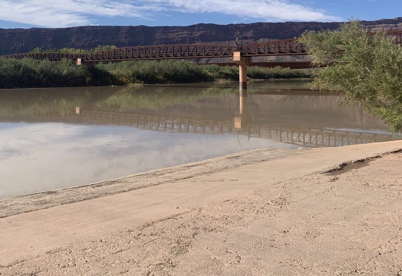
Access on river right just upstream and visible from the Highway 191 highway bridge at the north of town in Moab. From Moab, exit town going North and turn right after you cross the bridge.
Potash Boat Ramp
Access PointDistance: 17.15 mi
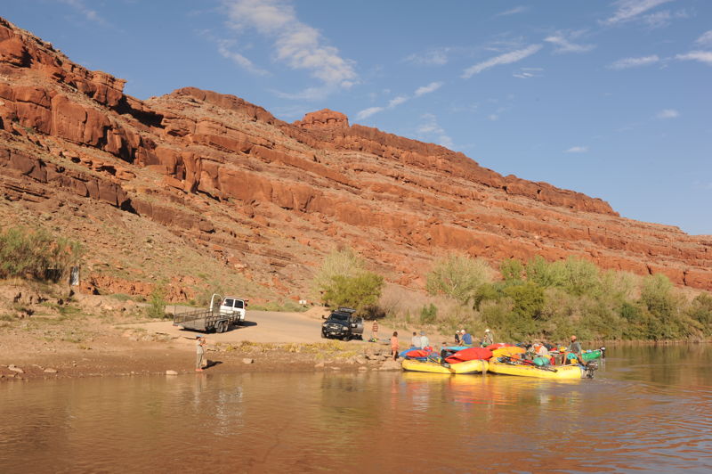
The standard put-in for the float down to the confluence with the Green River at the Potash Boat Ramp on river right located 17 miles downstream of Moab on a paved road.
The Loop
OtherClass: IIDistance: 53.58 mi
A giant oxbow in the river. Part of the group can hike up and over while the boatmen take the boats 3 miles around.
The Slide
RapidClass: IIDistance: 63.21 mi
Narrow constriction in the canyon with some fun currents.
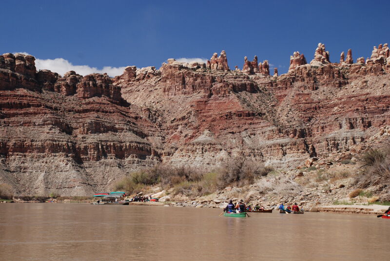
Spanish Bottom
Access PointDistance: 67 mi
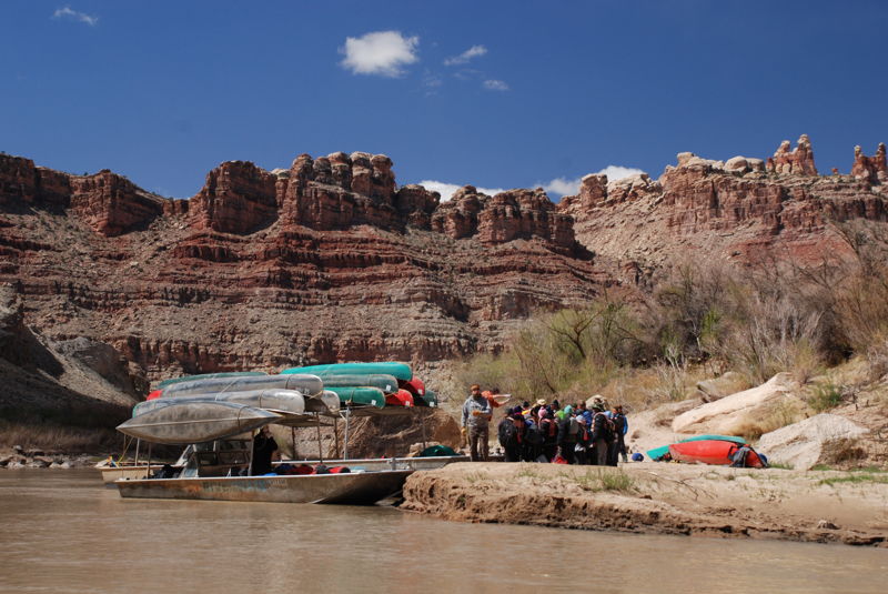
The standard last night's camp and jet boat pick up location on river right for those travling back upstream to Moab and not continuing on through Cataract Canyon.
Trip Reports
Log in to add a reportTO
Moab Boat Launch Site Visit - Thomas O'Keefe
Oct 22, 2021
Site visit to collect images of boat launch.
TO
American Whitewater Returning Rapids Trip - Thomas O'Keefe
Oct 7, 2021
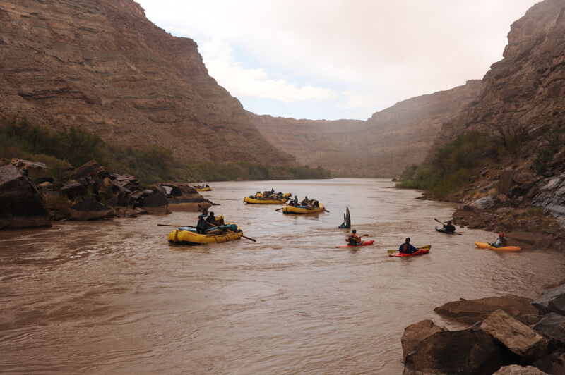
American Whitewater staff and board gathered in October for a fall trip down the Colorado River that began at the Potash Boat Ramp outside Moab and continued on down through Cataract Canyon (separate trip report on that river page). The objective was to learn more about water issues in the Colorado Basin and the Returning Rapids Project. Flows on this segment of the Colorado River were 3100 cfs dropping to 2900 cfs during the time we were floating from Potash to the Confluence. We launched from Potash at river mile 47 on Day 1 and were on the water by 8:15am stopping for lunch at the petrified wood near river mile 37, and ending our day at Lathrop Canyon on river right near river mile 24. On day 2 we crossed the river and hiked up to the ruins at river left near Lathrop Canyon. We camped for the night just upstream of The Loop on river left near river mile 13. On day 3 we hiked up to The Loop and down the other side as the boatmen took the boats around. The afternoon was overcast with a light mist in the air as we reached the confluence. We camped at Spanish Bottom on river left that evening. The morning of day 4 we crossed the river and hiked up to the Doll House and then came back to the boats to continue our trip through Cataract Canyon.