Flathead, Middle Fork
3. Paola Access to Moccasin Creek
| Difficulty | II-III |
| Length | 18 mi |
| Avg Gradient | n/a |
| Gauge | M F Flathead River Near West Glacier Mt |
| Flow Rate as of 55 minutes | 2550 cfsmedium runnable |
| Reach Info Last Updated | August 23, 2025 |
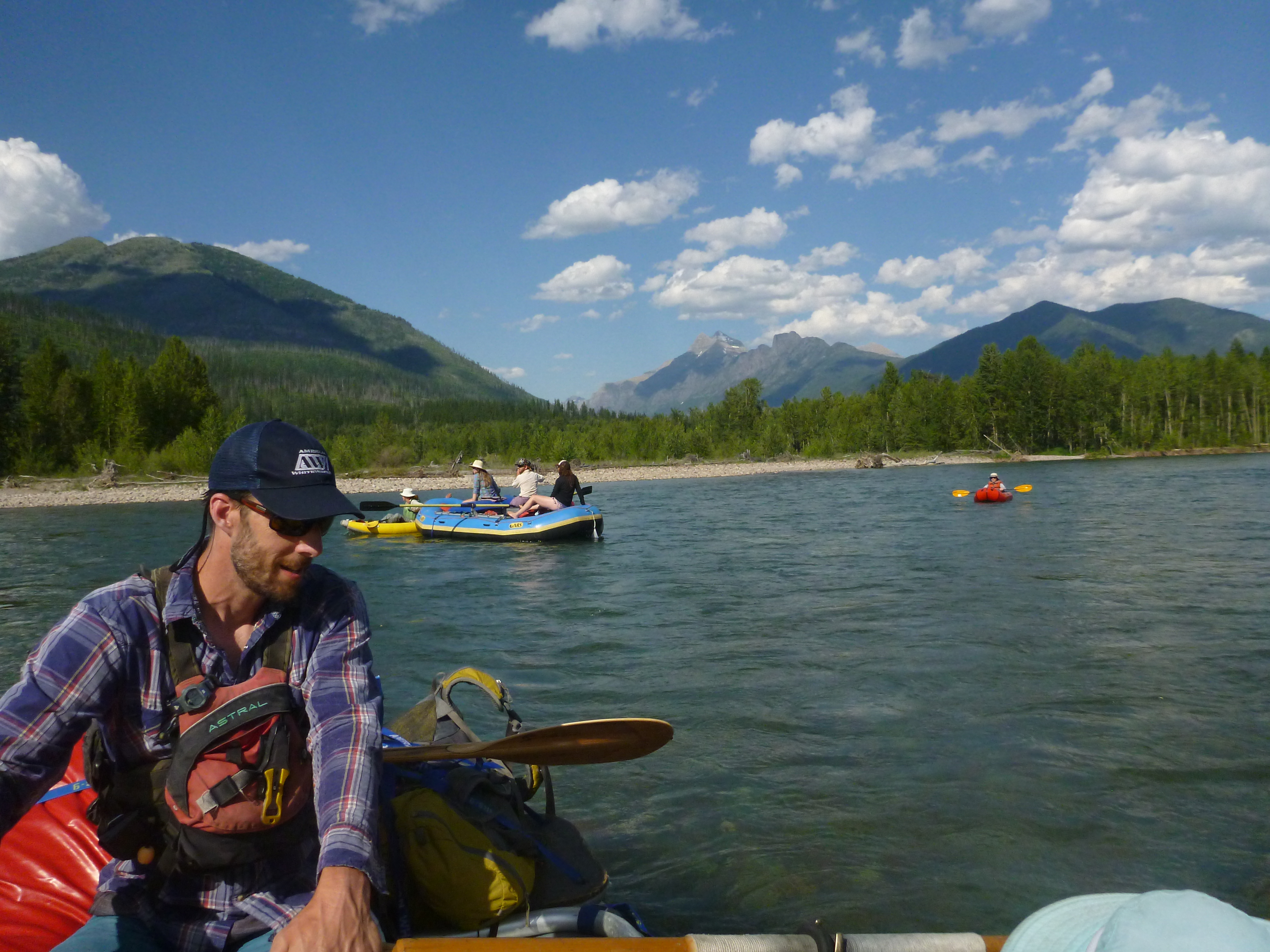
This section of the Middle Fork Flathead combines two distinct reaches that together, or in combination with upstream or downstream sections, make for a rewarding overnight trip. Boaters should be aware that this reach has some private land and a few homes along river left. A current land ownership map is helpful to ensure you camp only on public land. Dispersed camping is permitted on Forest Service land on river left. Glacier National Park on river right does not issue camping permits for river floaters but there are some gravel bars on river right that are within the active channel.
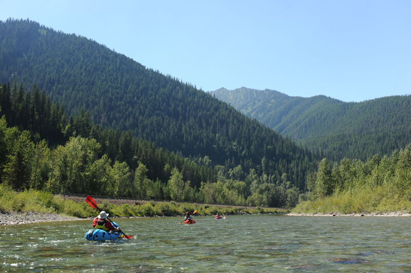
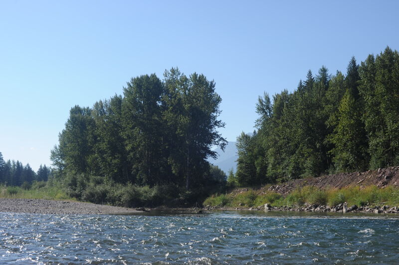
The first distinct reach is 11.6 miles from Paola to Cascadilla where the river flows through a scenic corridor of forested slopes and gravel bars. Some good camping options are available between Muir Creek and Coal Creek. Brown’s Hole Rapid provides the most notable whitewater in this section, though it is not a significant factor at low summer flows. Overall this stretch is mellower compared to the more sustained rapids found upstream or farther downstream, making it a pleasant run for those looking to soak in the scenery without committing to continuous technical paddling.
Below Cascadilla, the river continues another 6.4 miles to Mocassin Creek. About 1.5 miles downstream of Cascadilla, the river leaves the highway and enters the Nyack Flats, a broad valley of braided channels and wide gravel bars. Here paddlers find open vistas, shifting channels, and at times logjams to navigate. The views across the valley into Glacier National Park are especially striking. Large cobble bars provide excellent opportunities for riverside camping.
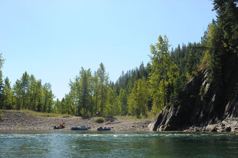
Take-out logistics are important to consider. Cascadilla is the standard and most straightforward access point, and it works well as the end of a day trip or short overnight from Paola and is a suitable access for larger rafts. While this segment continues 6.4 miles farther to Mocassin Creek, that access is far from ideal—it require
...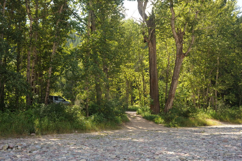
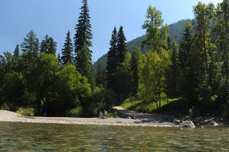
Located on river left where Paola Creek meets the Middle Fork, this access is simple and functional, with basic amenities and a forested shoreline along Highway 2. It is a popular spot for both paddlers and anglers, and both the creek and access were named for a Burlington Northern conductor.
The most notable rapid on the Paola-to-Cascadilla stretch, though it is minimal at low summer flows. It provides a brief whitewater challenge at higher flows within an otherwise scenic and mellow stretch of river.
A popular camp for overnight trips often utilized by outfitters.
A practical mid-section access and take-out point, suitable for day trips or overnight trips from Paola. Larger rafts will find this the most convenient endpoint for this section.
This access primarily serves as a put-in for the downstream reach. It is not a practical take-out for this section, as reaching it requires paddling or lining boats upstream on Deerlick Creek—a short distance but challenging for larger rafts. If used as a take-out, it is best suited for kayaks or small hand-carry craft at low water. Larger boats will want to take out upstream at Cascadilla or plan to continue on through the next segment downstream of this one.