Colorado
19. Lee's Ferry to Lake Mead (The Grand Canyon)
Apr 4, 2023
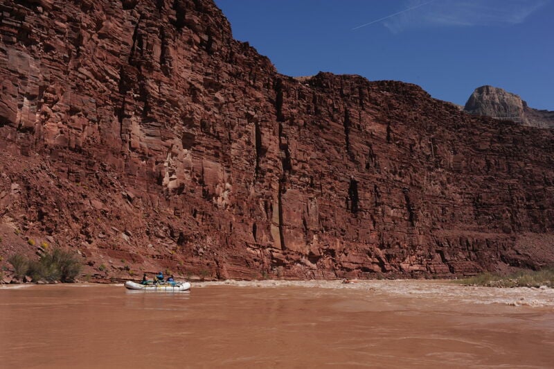
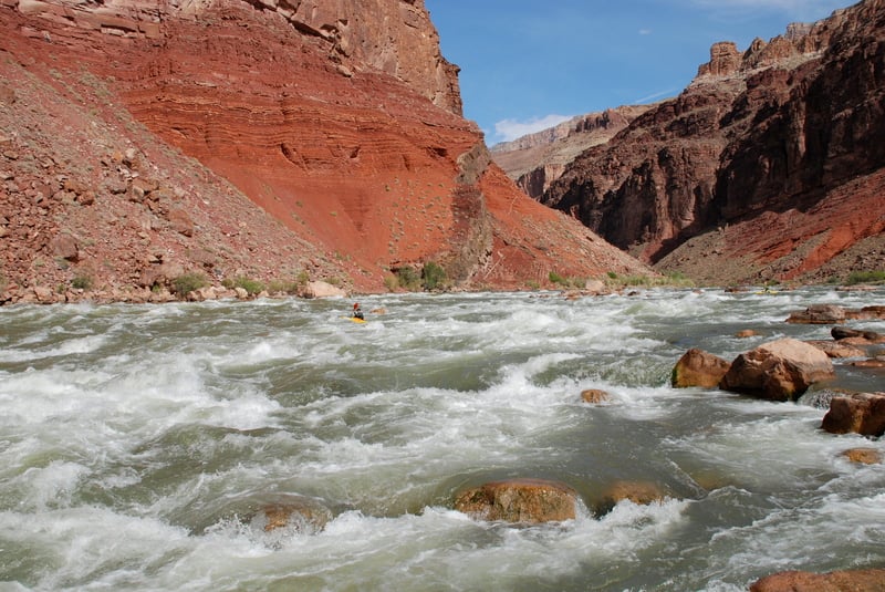
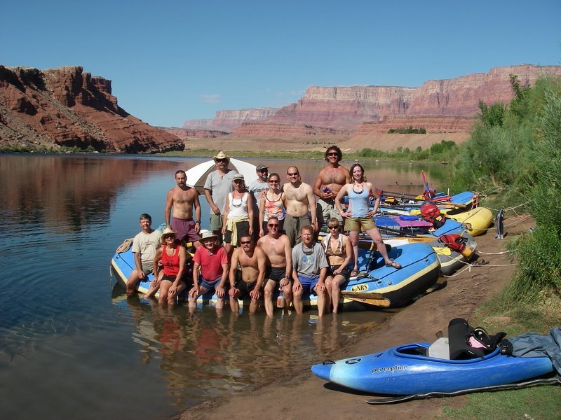
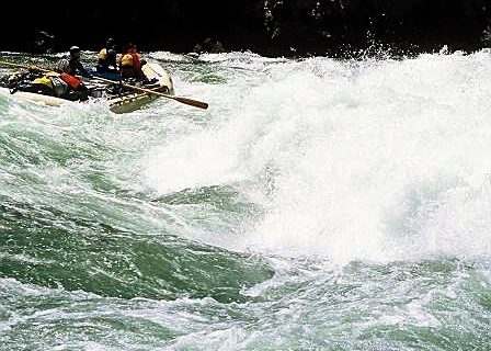
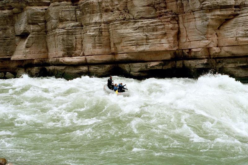
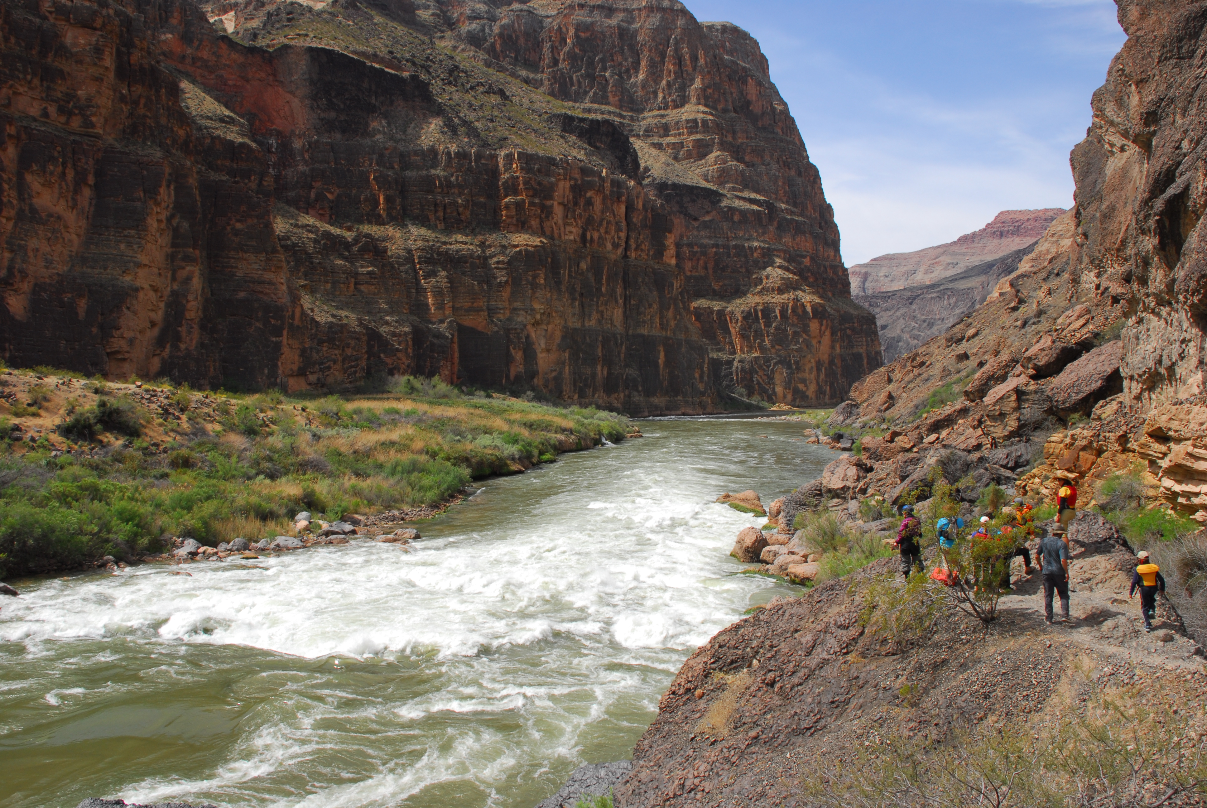
We enjoyed a 21 day trip on the Grand Canyon from Lee's Ferry to Pearce Ferry. Flows for the trip were 12,000-20,000 cfs and were around 15,000 cfs most days. We had 15 people on our trip (2 switched out at Phantom) with four 18' rafts and four hardshells. Moenkopi Riverworks provided our rafts, gear, and food pack.
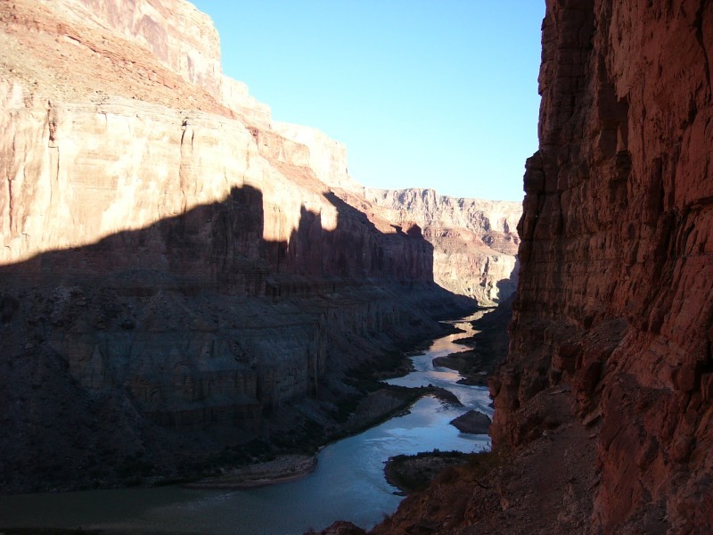
Our camps, with mileage in parentheses, were as follows: Day 0, Rigging Lee’s Ferry (0); Day 1, Jackass (7.9); Day 2. Indian Dick (23.0); Day 3, Nautiloid (34.8); Day 4, Upper Saddle (47.2); Day 5, Main Nankoweap (53.2); Day 6, Carbon (64.7); Day 7, Upper Rattlesnake (74.1); Day 8, Lower Cremation (87.1); Day 9, Granite (93.4); Day 10, Lower Bass (108.3); Day 11, Randy's Rock (126.4); Day 12, OC (136.6); Day 13, Upset Hotel (150.3); Day 14, Stairway (171.0); Day 15, Lower Whitemore (188.2); Day 16, Upper 220 (219.7); Day 17, Upper 220 (219.7); Day 18, 243 (242.5); Day 19, 264; Day 20, 279; Day 21, Pearce Ferry take-out (279.5). The reservoir elevation at Mead was 1046' and we had good current all the way to the take-out (it was easy to make it 5 miles/hour).
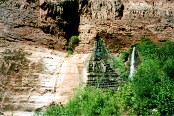
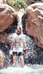
We enjoyed good hikes and side exploration at Nautiloid Canyon, Nankoweap Granaries, Little Colorado, Carbon Canyon, Unkar Delta, Clear Creek, Phantom Ranch, Shinumo Creek, Elves Chasm, Blacktail Canyon (with live music), Tapeats to Deer Creek, Matkatamiba Canyon, Havasu, Book of Worms, Trail Canyon, Travertine Falls, and Columbine Falls.
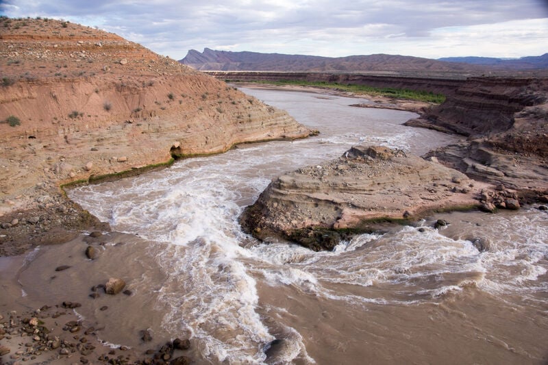
While the first few days were cool, the weather was exceptional. We had no major wind or rain during our trip (we did have major wind on our rig day). Most days the temperatures were in the 70's during the day and 50's at night. The cactus were just starting to bloom (a little later than usual). Tributaries, particularly those coming in from river right were running high and brown and the river had a high level of turbidity.
Oct 25, 2017
Nov 4, 2016
This rapid downstream of the take out has become more dangerous as it has made a narrow cut through this ridge.
Mar 24, 2016
Trip led by Morgan Giddings with four families and kids (age 7-14) from Lee's Ferry to Diamond.
Oct 6, 2012
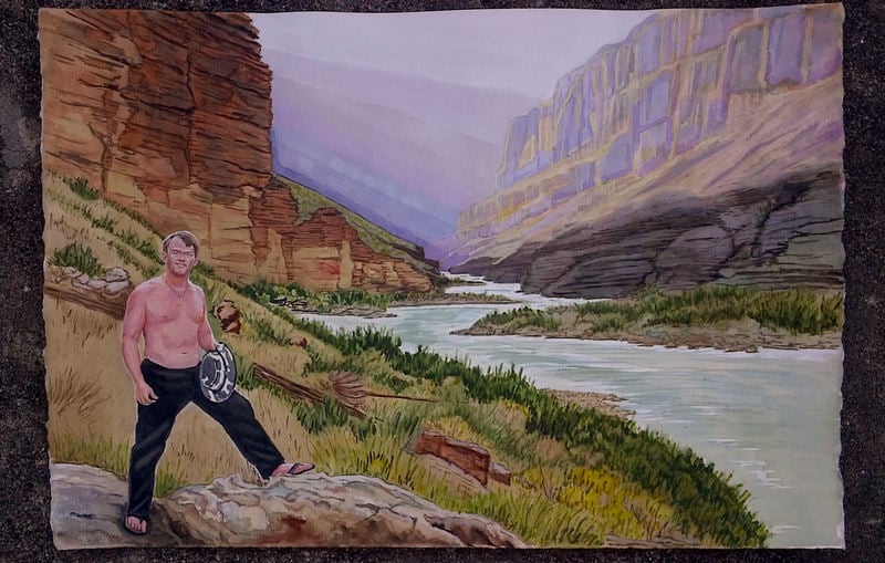
Paintings and art.
Apr 7, 2012
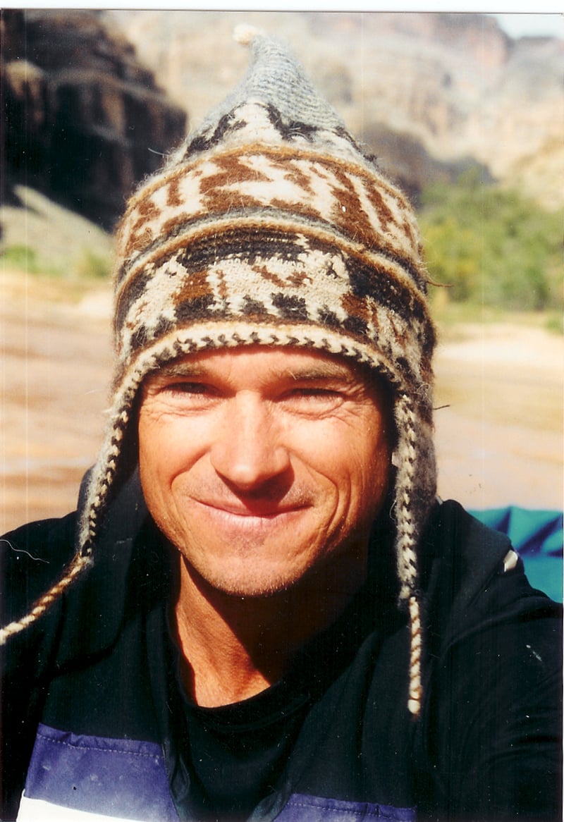
Roman Ryder @ Lava Falls
Nov 8, 2010
I have collected video, GPS info, River Mile Markers (Blue Flags), Camp Locations (Green Flags), Rapid Locations ( Red Flags), Points of Interest (Yellow Flags), videos (click on Rapid Flags), NPS Regulations, interesting links, Photos, Wikipedia links, and AW... links, and ... if you want something on there let me know. It's a work in progress, I'm already behind a major update so check back every couple of days or so. Once you get Google Earth open, and get tired of flying around on your own, if you look in your Google Earth Temporary Places and click around, you'll find a funny looking triangle looking icon. If you play it, it will fly you down the entire Grand Canyon. You can see the various Places as you fly. Stop anywhere and click on a marker for more info. It is a long flight. http://michaeldsawyer.com/GrandCanyon/GrandCanyon.html Sawyer
Sep 14, 2010
2000
Mar 18, 2009
Apr 9, 2007
University of Wisconsin Hoofers trip on the Grand Canyon under Lynn Wallace's permit.
Jul 10, 2006
The Crew Of The Surf Dog Clothing Optional Graqnd Canyon Adventure,at the put-in July, 10 2006 My very own trip!!!
Aug 14, 2004
My 100M waterproof watched stopped at 11:20AM during this run.
Aug 9, 2004
Jul 15, 2004
Summer 2004 Trip.
May 15, 2004
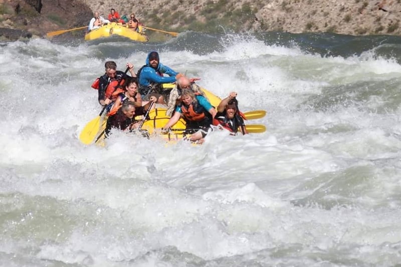
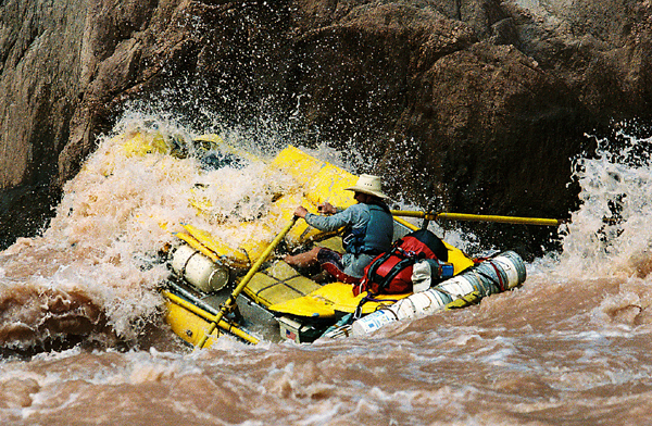
by mid-day, the right side of Crystal was a 'no-go' for rafts, filled in to near-shoreline, the left line was the line.
Sep 14, 2003
Aug 15, 2001
Jun 15, 2001
Jan 1, 1900
10' Mini Me rented from Moenkopi Riverworks