| Difficulty | II(IV) |
| Length | 1.2 mi |
| Avg Gradient | n/a |
| Gauge | East Fork Black River Near Lesterville, Mo |
| Reach Info Last Updated | January 22, 2023 |
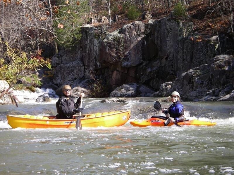
River Description
This is a short but sweet creek run runnable when Crane Pond Creek is running. You can easily scout the meat of the run. There is a low dam that can be boofed on the left. A little further downstream is the steepest drop which is split into two channels. The left channel is a rock jumble sieve that injured early paddlers. The right channel is a single drop but be aware of the rock at the base. For a clean line aim for the large undercut rock immediately downstream and the current takes you to the right of the rock.
River Features
Lon Sanders Canyon Conservation Area Put-in
Access PointDistance: 0.08 mi
Highway 34 Bridge in Piedmont Take-Out
Access PointDistance: 1.46 mi