Lobster Creek
Lobster Creek Road to N Bank Rogue River Road
| Difficulty | III+(IV) |
| Length | 6.6 mi |
| Avg Gradient | n/a |
| Reach Info Last Updated | March 13, 2023 |
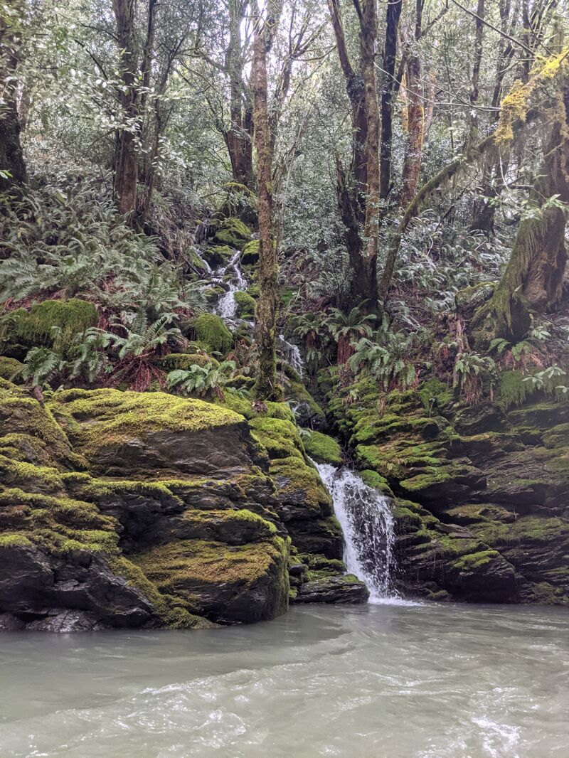
Lobster Creek is a tributary of the Lower Rogue near Gold Beach and needs heavy rain to flow enough water to boat it. There are about 6 quality III/IV rapids with lots of smaller stuff inbetween, and even the flat sections tend to have a decent amount of current. Rapids are fairly pool drop in nature, but some of them are quite long.
This run usually has lots of wood in the channel, and because it only has boatable flows after large rain events, the wood tends to move around so it is super important to eddy hop and be certain you see clear paths to the bottom. At a flow of 1' eddies were ample and this was not an issue.
This is located behind private timber company gates. You are supposed to obtain a recreation permit from them. Walk past the gate maybe 100 yards and you'll be at a nice access point.
Alternativley, you can put in slightly down river behind another private timber gate. walk across the bridge that you can see from the road, and there is a foot path down to the water that is steep but doable.
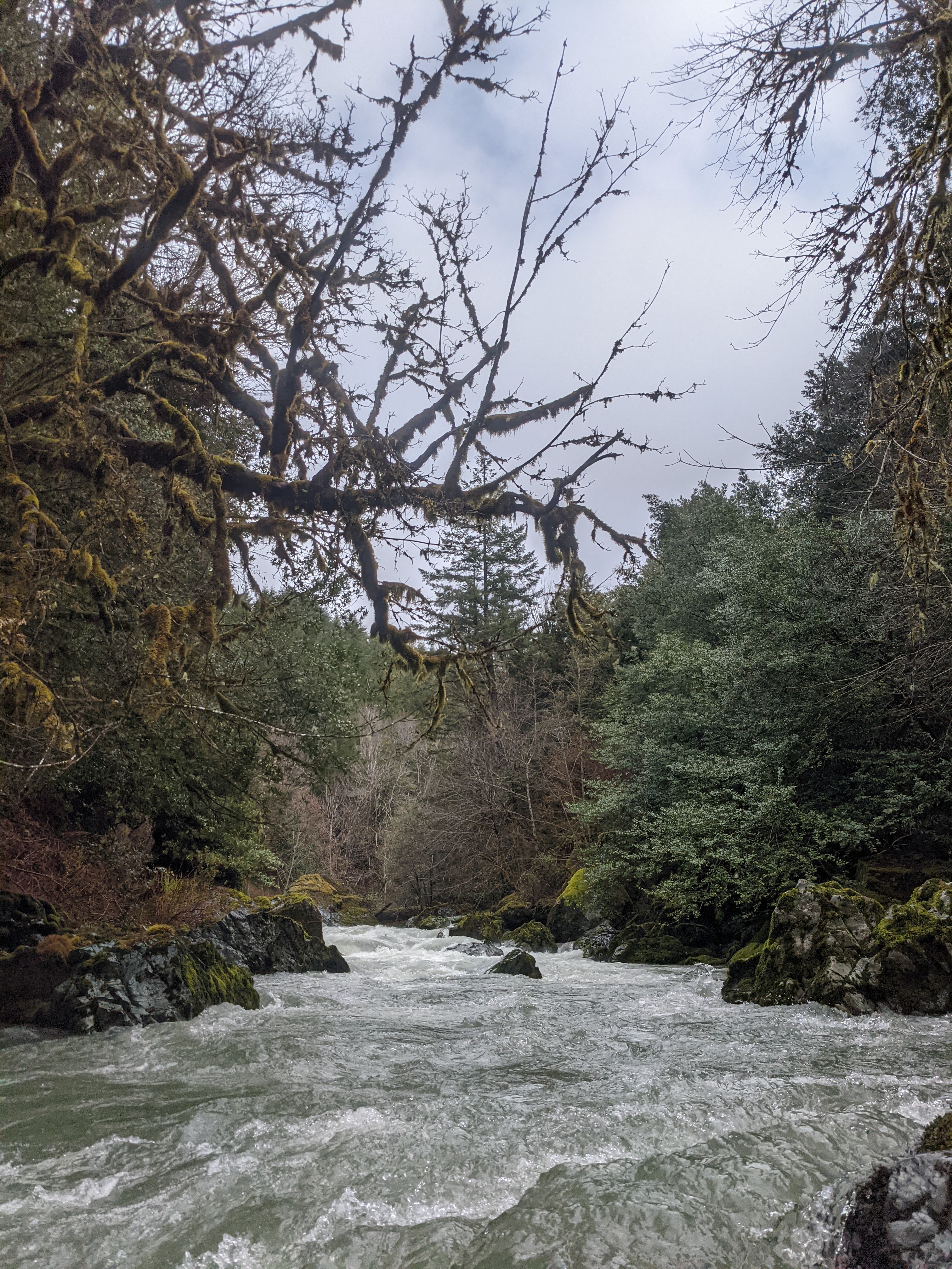
A long windy rapid with lots of boulders to dodge. Some areas of the rapid you can choose your own line and some areas of the rapid funnel into an obvious line.
Alternatively you can paddle all the way to the mouth at the Rogue River and ferry across to take out at Lobster Creek Campground with a nice concrete boat ramp. This is a very short addition to the run, <5 mins.
Mar 12, 2023
Meghan, Curtis, Yann and I headed over the night before from the Elk River. The day on the Elk was the first sunny day in a while after lots of rain coming down, and it started raining on us again that night. We were moving slow Sunday morning in the rain and headed to the take out around 11:30 to check the flow. Water was lapping up on the first 12' board of the left bridge abutment, which we thought meant that the run would be on the low side of runnable based on what we heard from a Gold Beach local. We headed up to the put in and got on the water about noon.
We had been warned about lots of mobile wood in this creek so we were careful to make sure we had a clear view of the next catchable eddy before heading down anything. We only had to get out of our boats one time towards the top of the run to check this. Other than that, we had one log duck and no other wood in play, but lots of wood and jams in the channel that were easy to avoid.
The whole run took us less than an hour and a half.
At the flows we were at, I think a small 10' raft probably would have been able to make it through okay. There was ample water for kayaks, could have gone a little lower, but this was a great intro flow. We all thought the rapids were pretty quality, and pairing this run with the Elk River was a worthwhile weekend.
The gage for this run is visual and correlations with other gages that read from larger areas aren't perfect, but here are what a few other gages were reading the day we went:
Rogue River @ Agness: 8,000 cfs
Elk River: 4.1 feet
Chetco near Brookings: 5.25 feet/5,070 cfs
Mar 12, 2023