Pigeon
0.8 Upper Dries
| Difficulty | II-III+ |
| Length | 4.8 mi |
| Avg Gradient | 43 fpm |
| Reach Info Last Updated | March 13, 2025 |
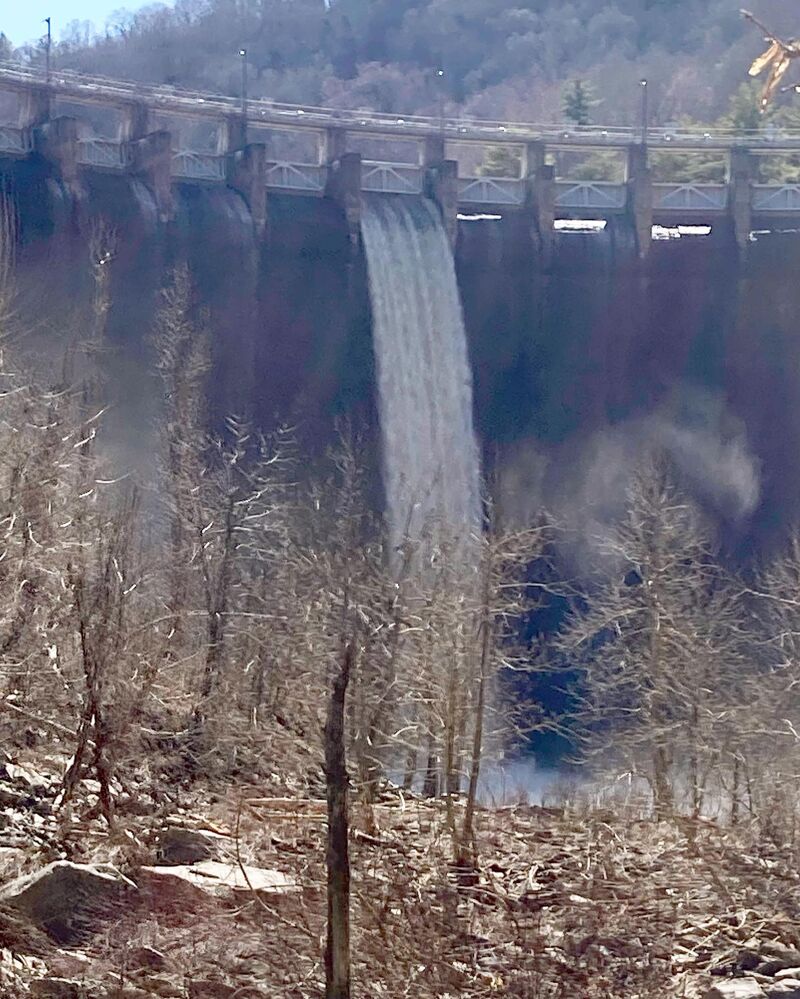
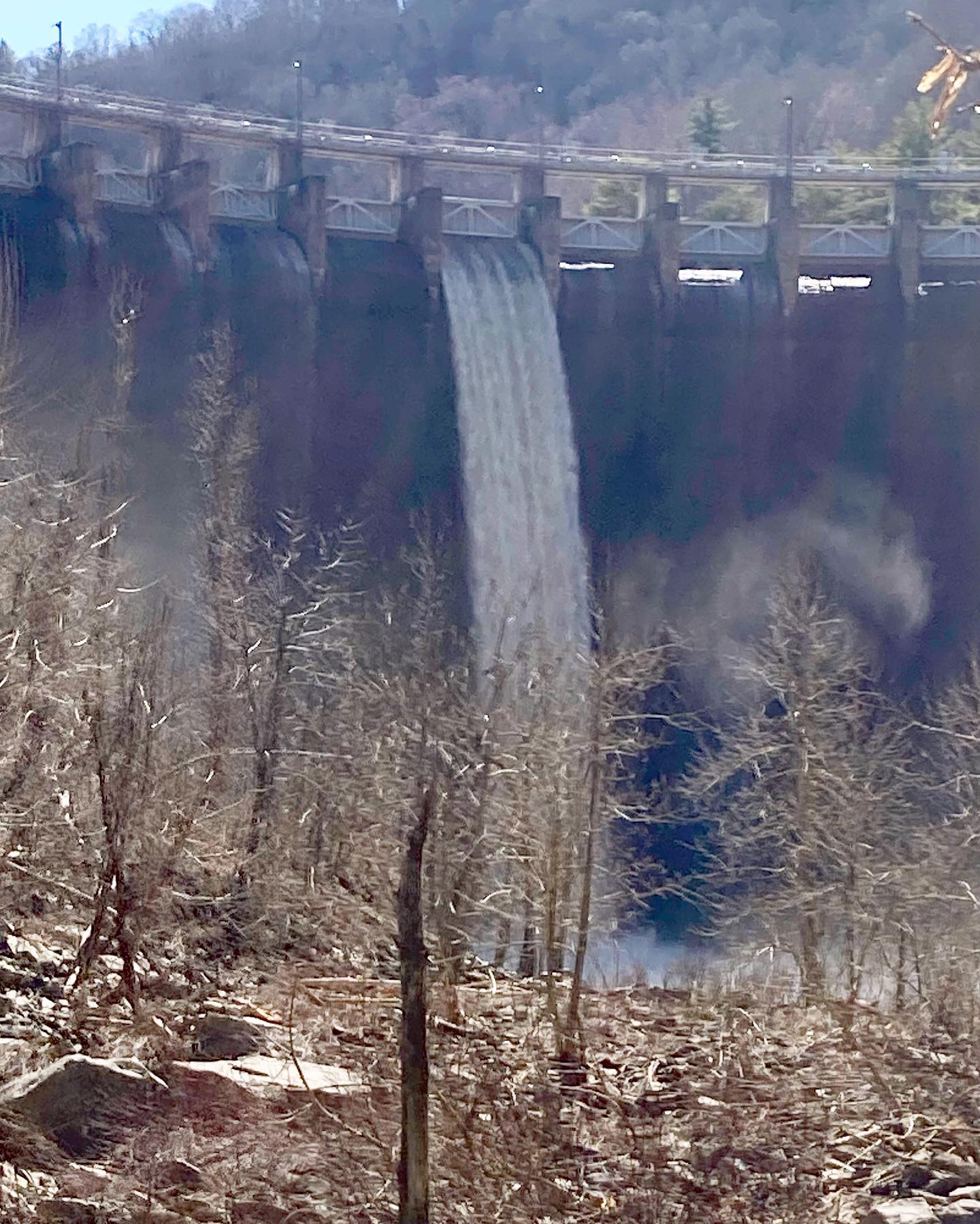
The Upper Dries flow through a mountain gorge a stone's throw from I-40, yet has a wild feel. There are enough Class III rapids to keep intermediate paddlers on their toes, but plenty of downtime in the form of Class I-II whitewater. The top mile or so of this section is the hardest, with a more contiuous series of Class III-III+ rapids that may edge higher in difficulty with lots of water. A few ledge gardens and some tight maneuvering eventually lead to easier miles downstream, although there is a second, albeit shorter burst of action downstream. The last few miles down to Harmon Den are pretty relaxed.
The biggest issue is access at the base of Waterville Dam. The only way down is a long 'golden' staircase that drops paddlers in directly at the base of almost 200 foot high Waterville Dam - a loud and impressive place to access the water when the dam is spilling. Paddlers have also dropped in via a sketchy off-trail scramble from the rest area at MM10, eastbound I-40, but this route is dangerous and of questionable legality.
If recreational releases are secured in the 2034 relicensing effort on behalf American Whitewater, the combination of the unique put-in and the nice whitewater downstream will offer intermediate paddlers another sweet little section to paddle.
No river features have been added