Austin Creek
Lower Austin Creek Falls to Lake Whatcom Blvd.
| Difficulty | III-IV |
| Length | 1.2 mi |
| Avg Gradient | n/a |
| Gauge | Anderson Creek Near Bellingham, Wa |
| Flow Rate as of 23 minutes | 1.68 ftbelow recommended |
| Reach Info Last Updated | December 11, 2025 |
The creek is not terribly difficult per se, but it is a steep woody microcreek with constant threats to keep your eyes open. The put in is reached by hiking up on river right from Tumbling Water to Austin Creek falls, or just by putting in at Tumbling Water cascades. The alternative access is just below Area Z with a short hike down to the creek. The takeout is at the Sudden Valley Golf Course.
This does run behind houses so don't be a nuisance.
The gage for this is a correlation gage on an adjacent drainage.
A short video at low flows at the Tumbling Water Cascades
https://www.youtube.com/watch?v=fNxvBNUQDys
Short video at around 3.6 feet at the guage starting from the confluence

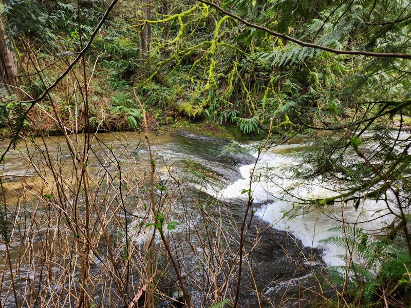
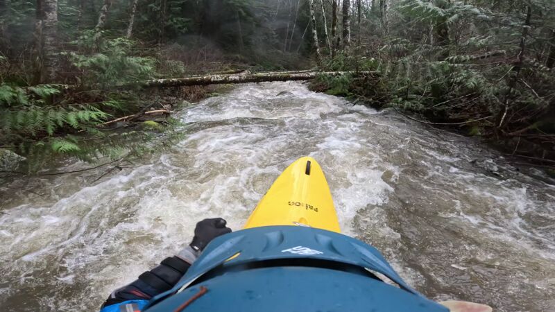
Tumbling Water Falls is a roadside cascade. This is the highlight of the creek and most locals who run Austin Creek only do this set of drops. You can access the falls from the top by hiking up on river right or after the second drop on river left. Be careful of wood.
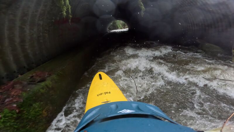
The first culvert just past the triple falls is usually clean and an easy rapid. You can get out just past it if for some reason you want ot hike back up to the mailboxes or parking area.
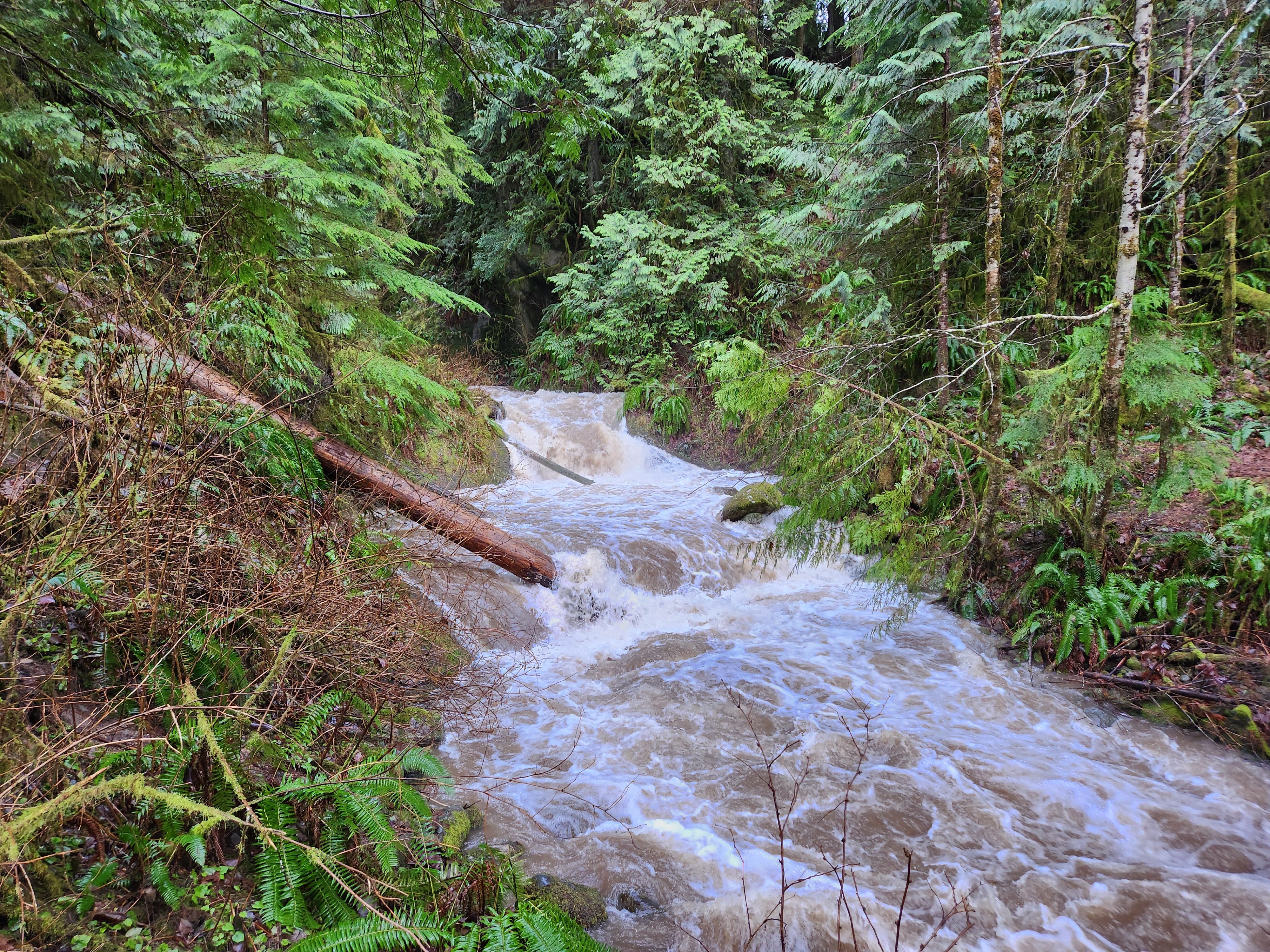
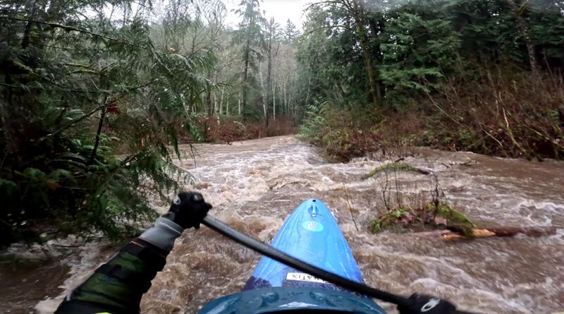
Between Culvert #1 and Culvert #2 is the more shallow and often woody parts of the creek. Be careful and often just avoid this section since the Area Z Alley is rarely wood free all the way to the end.
The second Culvert is far more likely to hold wood and be a hazard
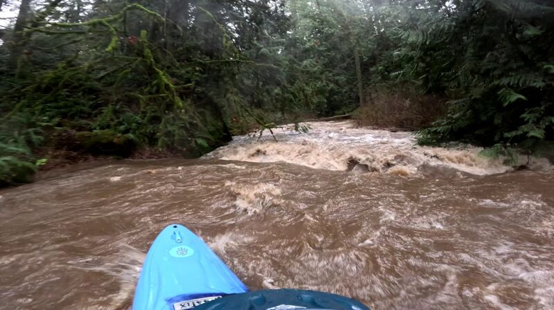
Be careful for trees here in this long series of drops
Alternative put in at the public garden bridge
The other option is the walk down from the gravel pull out on Lake Louise Rd across from the bus stop
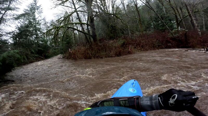
After the confluence there is a slide and a tight rapid against the left wall.
Most of the creek's rapids are small ledge drops, waves, or holes.
Do not boat into the Sudden Valley Golf and Country Club. There are culverts and the owners are also unlikely to find it amusing.
Dec 11, 2025
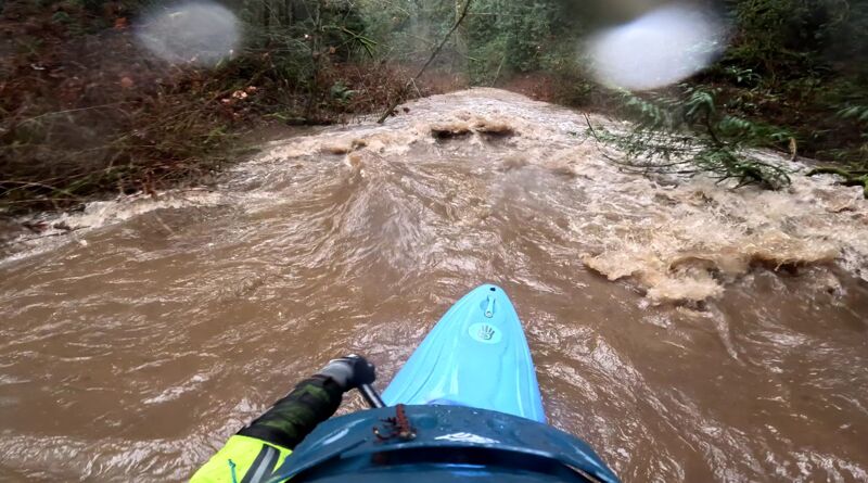
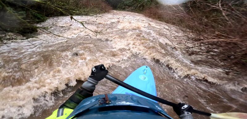
After seeing this section added on a couple years back I've been wanting to make it out after a good rain. With the atmospheric river we're experiencing right now I finally saw the gauge bump up. The gauge was at 3.5ft and dropping when I put in, I wouldn't want much more or less.
Ran the lower drop at tumbling water and went through Culvert 1, this section was bumpy and woody but I think I made it down with only one or two portages until the second Culvert, which looked more fun but unfortunately had plenty of riverwide wood below it. I put in below site Z from the gravel pit on the river right side. Not much of a trail down to the creek, or a put in but if you've made it this far you might as well keep going. The creek picks up quite a bit of water at the confluence and the rapids get a little cleaner but there is still a ton of wood. Took out at the bridge before the golf course and walked back up.
Definitely a novelty run, glad I did it but probably wouldn't do it again. It's got fun whitewater but way too much wood to be worth doing unless you live in Sudden Valley and don't want to drive to Whatcom Creek. I say all this but I'll probably end up running this again at some point, especially if some beavers get to work
Dec 11, 2025