Applegate River
Applegate Dam to Rogue River
| Difficulty | II+ |
| Length | 46 mi |
| Avg Gradient | n/a |
| Gauge | Applegate River Near Copper, or |
| Flow Rate as of 25 minutes | 123 cfsbelow recommended |
| Reach Info Last Updated | April 15, 2025 |
The Applegate River (Takelma: S'bink; Shasta: Iskatawayeki) is a the second largest tributary to the Rogue River, eclipsed only by the adjacent Illinois River. Like the Illinois, the Applegate originates in California before flowing northward into Oregon. The Middle Fork Applegate River (CA) and Carberry Creek (OR) are two free-flowing whitewater streams in the upper part of the Applegate River watershed.
The mainstem Applegate River now being at the outler of Applegate Dam, completed by the Army Corps of Engineers in 1980. The dam inundated the uppermost section of the mainstem Applegate River which is now beneath Applegate Lake. The river flows over 50 miles from the dam to its confluence with the Rogue River downstream of Grants Pass, Oregon. The dam provides flood control for the Applegate Valley downstream and regulates the flow of the river year-round. Flows vary according the season and annual hydrology. Standard boating flows are generally available in the spring as the dam releases snowmelt and stored precipitation. Summer flows are low but can support tubing, inflatable kayaks, and other small craft suited to low flows. Levels may be too low to boat in any craft in late summer and fall, depending upon the water year.
Nearly all of the riverside land along the Applegate is privately owned, with a few access points upstream of Ruch that are managed by the Rogue River-Siskyou National Forest or Jackson County. The river flows past homes and through ranches as it generally parallels Upper Applegate Road, Highway 238, and North Applegate Road.
Much of the Applegate River is relatively flat with short riffles and cobble bar rapids interspersed between the long, flat stretches. A few rapids are bigger than the others and a few bedrock gorges
...
River access is on river right just upstream of the Upper Applegate Road bridge below Applegate Dam. There is an undeveloped parking area and trail beside the river.
Access on river right at the Jackson Campground, a Forest Service campground that is open year around.
Access on river left downstream of the covered bridge at the McKee Bridge Picnic Area, a day use area administered by the Forest Service. This is a popular river hang-out in summer and has a high rope swing.
Cantrall Buckley Park spans both sides of the Applegate River and has a bridge that provides access to the picnic and campig areas on river left. Day use river access parking and a couple nice beaches are on river right. Day use fees are charged and violators are often ticketed. This is a popular river hang-out in summer.
The county park spans over 88 acres and features 1.75 miles of river frontage, making it a very popular recreational destination in Jackson County. Nestled within pines, oaks, and madrones above the river, a 30-site campground provides an ideal camping location. All sites include a campfire ring and picnic table and access to restroom/shower building.
Access located on river right on the Rogue River immediately downstream of the confluence where the Applegate River joins the Rogue River. There is a boat ramp here.
Apr 12, 2025
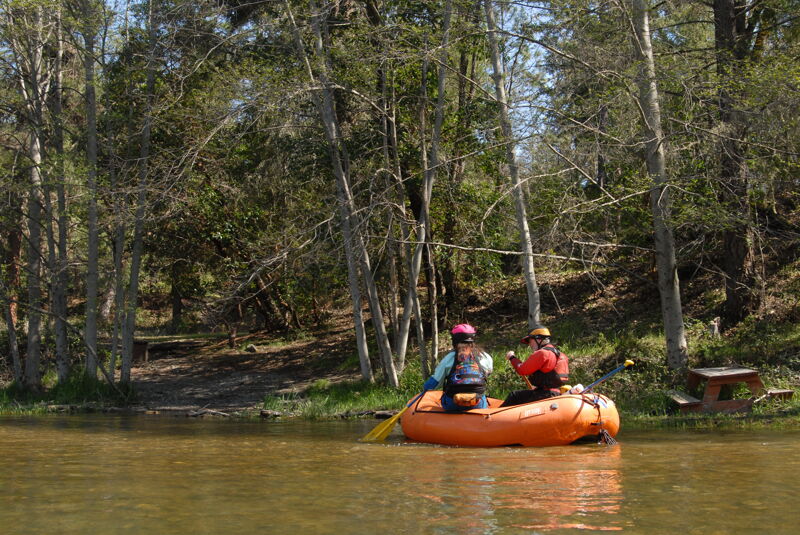
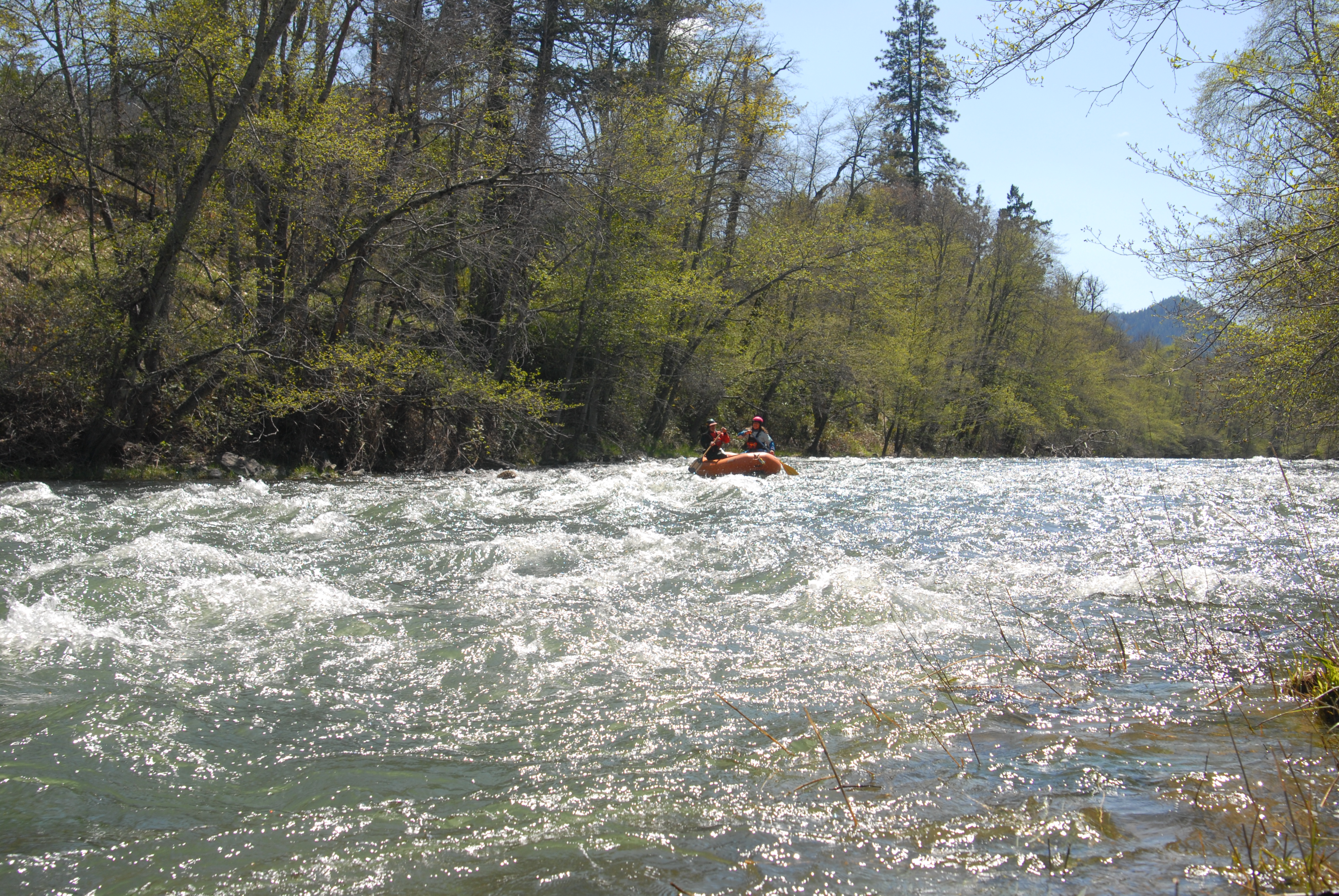
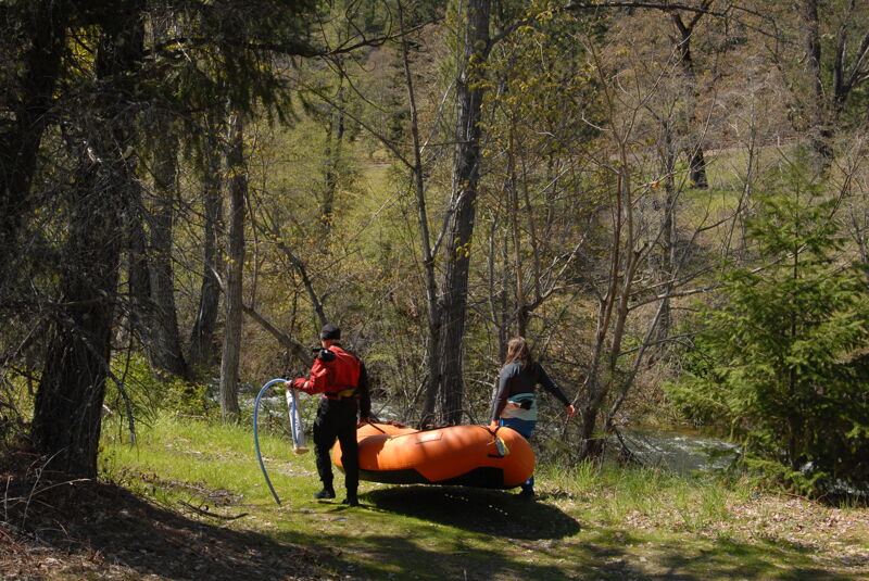
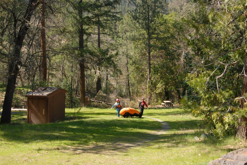
A short run from the Fisherman's Trail down to Jackson Campground with Bill and Megi in an R2 and Tom in a kayak. The run was mostly class II with a few class III rapids in short gorge sections at the start. The river shoreline is all private land with some houses. We learned the campground is open year around. It required an day-use fee but had good parking in the day-use area and a short trail to the river.
Apr 12, 2008
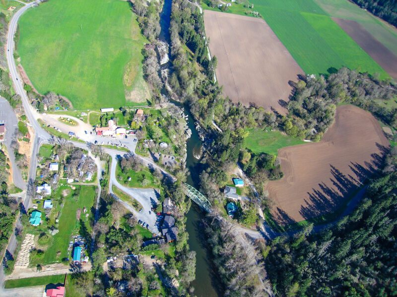
Aerial views of the Applegate River near Ruch, Oregon and Applegate, Oregon from 2008-2015.