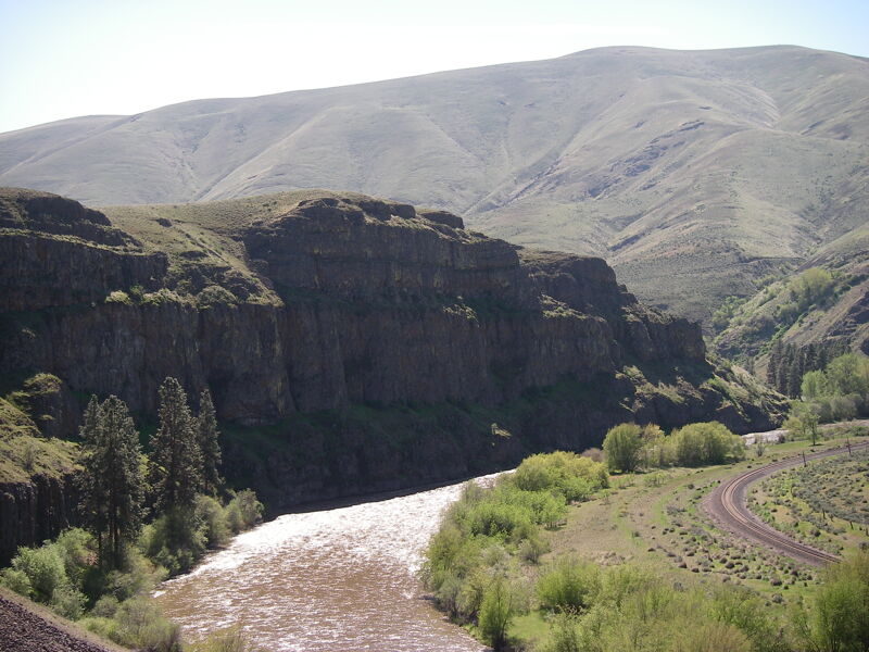
Yakima River
Ellensburg to Roza Dam(Yakima Canyon)

| Difficulty | I-II |
| Length | 24 mi |
| Avg Gradient | n/a |
| Reach Info Last Updated | April 26, 2025 |
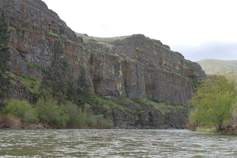
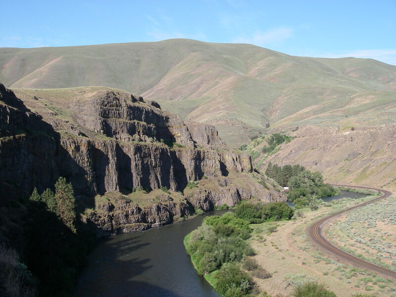
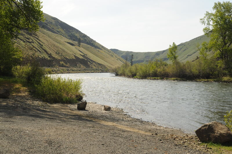
Scenic float through the Yakima Canyon.
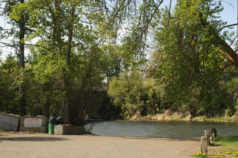
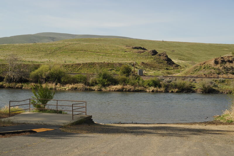
Day use area and river access administered by Washington Department of Fish and Wildlife. At Highway 821 mile 24.8 turn west on Ringer Loop Road and take it 0.4 mile down to the river.
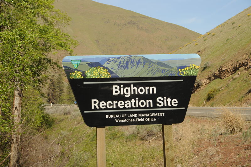
A private access that was acquired by Bureau of Land Management is a key access point in the Yakima River Canyon. It offers both overnight and day use amenities including picnic tables, fire rings, nearby dumpsters, toilets, and a non-motorized river put in/takeout site. It located at Highway 821 mile 21.6.
Informal roadside access where river access is feasbile at a pull-out. It is located at Highway 821 mile 19.1.
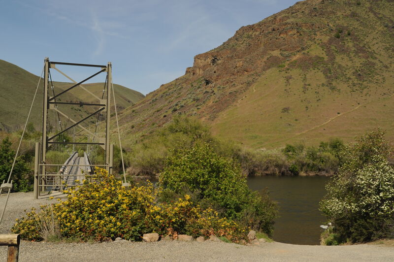
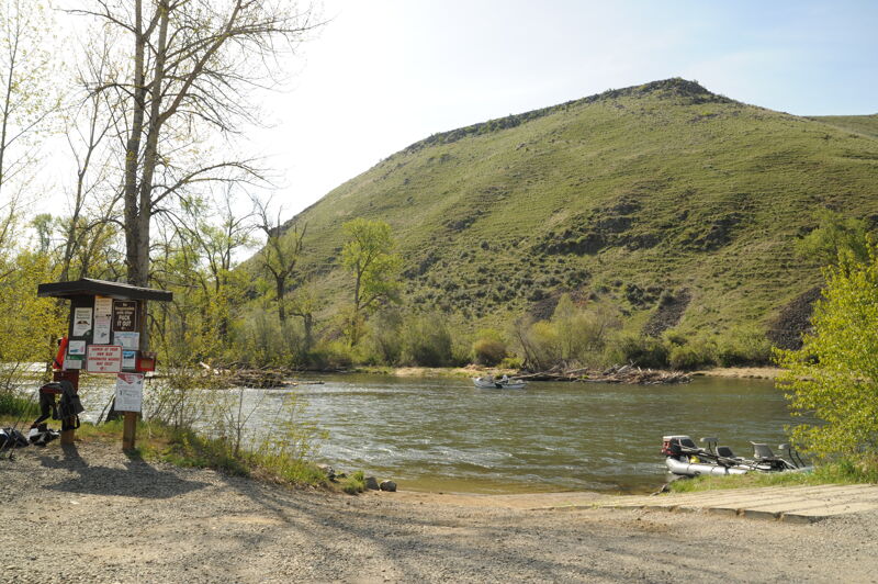
The Umtanum recreation site administered by Bureau of Land Management offers both overnight and day use amenities including picnic tables, fire rings, nearby dumpsters, vault toilets and a non-motorized river put in/takeout site on river left. A wooden footbridge crosses the Yakima River at this site, providing the only pedestrian access point to the west side of the river within the Yakima River Canyon. It is located at Highway 821 mile 16.2.
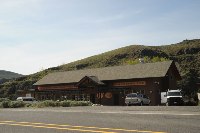
Access on river left behind Red's Fly Shop. The access is lcoated at Highway 821 mile 14.7.
Lmuma Creek is the smallest river access site managed by Bureau of Land Management in the Yakima River Canyon. It offers both overnight and day use amenities including picnic tables, fire rings, nearby dumpsters, vault toilets and a non-motorized river put in/takeout site. It is located at Highway 821 mile 12.4.
Day-use river access administered by Washington State Department of Fish and Wildlife. It is located at Highway 821 mile 10.1.
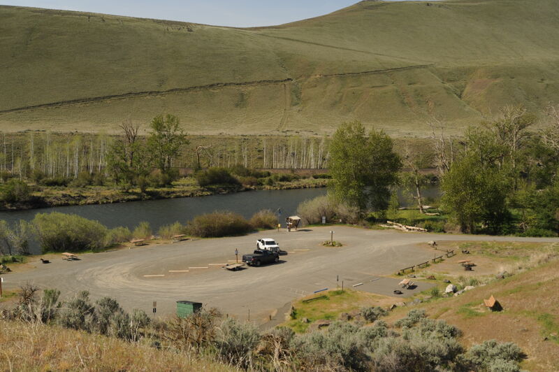
The Big Pines recreation site is the largest recreation site administered by Bureau of Land Management in the Yakima River Canyon, and offers both overnight and day use amenities including picnic tables, fire rings, nearby dumpsters, vault toilets and a non-motorized river put in/takeout site. There are also several group campsites and several walk-in only campsites. It is located at Highway 821 mile 9.7.

Day-use river access administered by Washington State Department of Fish and Wildlife. It is located at Highway 821 mile 8.4.

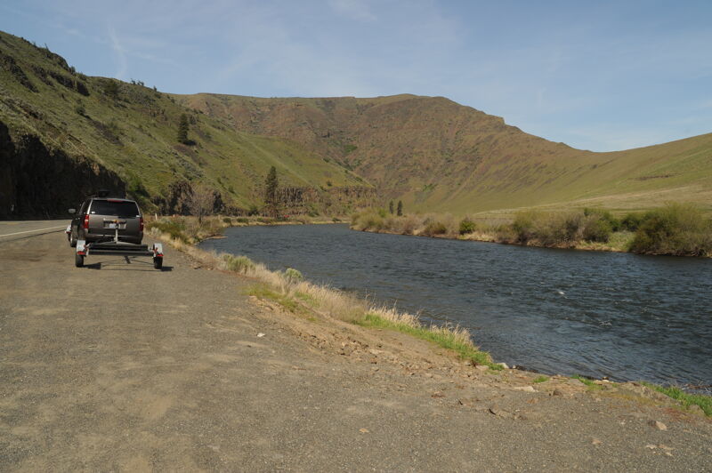
The Roza recreation site is administered by Bureau of Land Management and offers both overnight and day use amenities including picnic tables, fire rings, nearby dumpsters, vault toilets and a motorized river put in/takeout site. This site is the main takeout for all river floaters, as it is located a half-mile above Roza Dam. Upstream of the Roza boat launch, the river is limited to non-motorized boats only. Downstream of the launch, motor boats are permitted in the area above Roza Dam. It is located at Highway 821 mile 7.1.
Jun 18, 2006