Klamath
05. Access 1 to K’utárawáx·u (Grizzly Hill) Access(K’íka·c’é·ki Valley Run)
| Difficulty | II |
| Length | 6.4 mi |
| Avg Gradient | n/a |
| Gauge | Klamath River Blw John C.boyle Pwrplnt, Nr Keno,or |
| Flow Rate as of 20 minutes | 860 cfsmedium runnable |
| Reach Info Last Updated | August 25, 2025 |
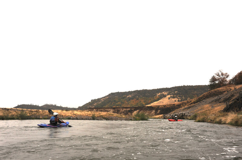
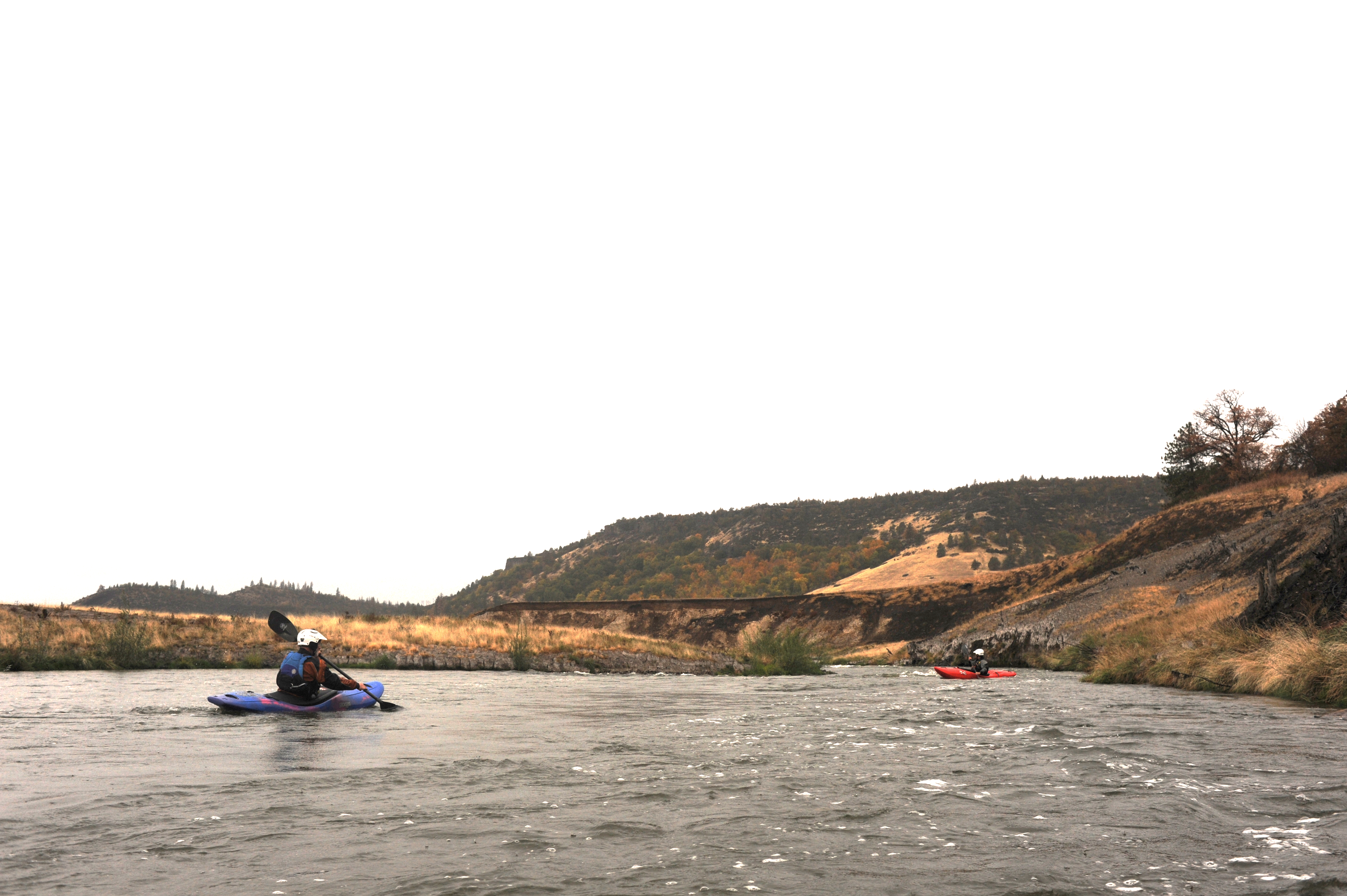
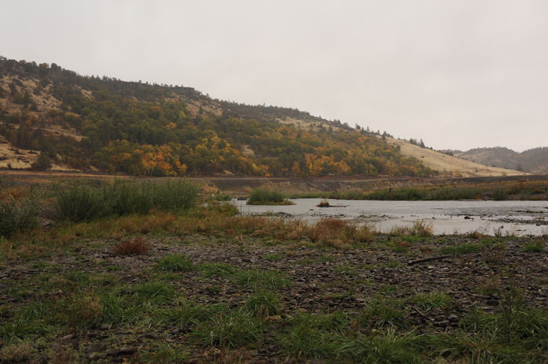
The six-mile K’íka·c’é·ki Valley Run features easy whitewater, continuous current, and a meandering channel, making it suitable for less experienced boaters or those seeking a relaxed whitewater trip. The river is incised into the valley floor, and floating it provides a fascinating look into a landscape that was submerged for over a century by Copco Reservoir. K’íka·c’é·ki is the Shasta language place name for the greater landscape of this area, pronounced phonetically as K’-EE-kah-ts’EH-kee.
K’íka·c’é·ki Valley
The six-mile K’íka·c’é·ki Valley Run is the gentlest section of the undammed Upper Klamath River—thanks, ironically, to a natural dam formed by lava flows between 140,000 and 10,000 years ago in the present day location of K’íka·c’é·ki Canyon. This lava dam created a five-mile-long lake that eventually filled with gravel and clay eroded from the Cascade Range upstream. The river eventually cut through the lava dam, draining the lake (sometimes referred to as Clammittee Lake) and leaving behind a flat valley floor which the river incised with a meandering channel. This fertile valley supported vibrant Indigenous communities and, later, settler farms. Downstream, the river has now cut through lava to form the vertical-walled K’íka·c’é·ki Canyon.
Human Damming of Klamath River
The narrows of K’íka·c’é·ki Canyon were the Klamath's most obvious hydropower dam site, but it wouldn't prove easy to construct a dam in the canyon. After six years of challenging construction and financial turbulence, the California Oregon Power Company completed of Copco 1 Dam in late 1917. The dam displaced Shasta Indian families, flooded cultural sites, and drown settlers' ranches and orchards. For over a century, Copco Reservoir covered this beautiful valley, replacing its fertile landscape with stagnant waters that fostered toxic algae blooms. These blooms forced summer swimming closures and led to health warnings on the
...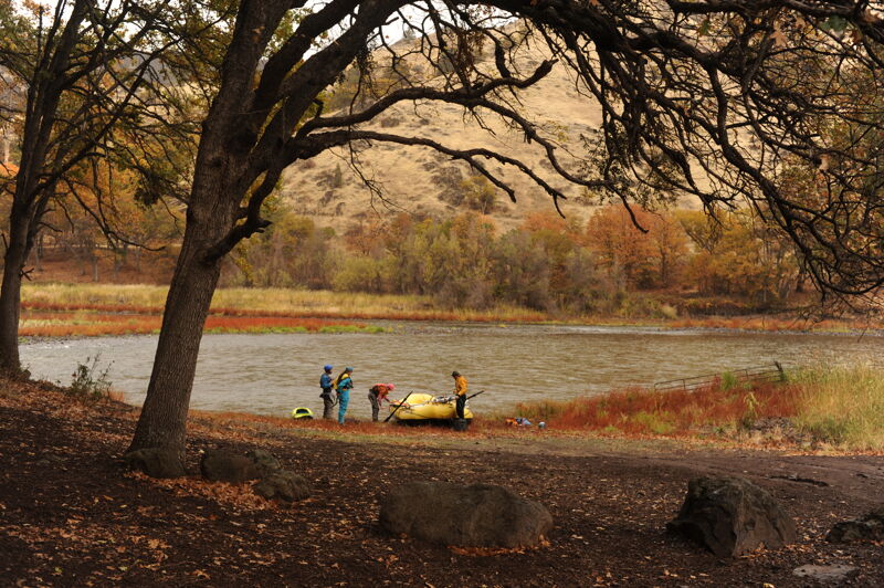
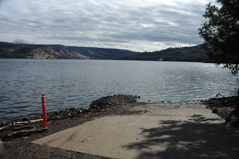
Access 1 is on land jowned by the Klamath Indigenous Land Trust just upriver of the community of Copco Lake on the river left. There are no amenities on-site.
Boaters putting in at Access 1 will immediately enter this riffle.
The best surf wave on this run. It can be accessed on the fly or from the eddy on river left.
Small and short riffle below the mouth of Raymond Gulch.
The K’utárawáx·u (Grizzly Hill) Access on river right is named for the Shasta Indian place name (pronounced K’oo-TAH-rah-WAH-xoo). The site is managed by California Department of Fish and Wildlife on land set to be transferred to Shasta Indian Nation. The Shasta people have lived here since time immemorial and were stripped of their land through violence before hydropower dams took the last of their ancestral territory along the river. American Whitewater has worked with the Shasta Indian Nation to educate the public on respectful visitation in this culturally and spiritually significant landscape. American Whitewater helped secure $3.5 million from the State of California to design and construct this and two other sites to serve boaters and fire management crews. Amenities include an access road, boat launch and turnaround, staging and parking areas, bike rack, accessible vault toilet, garbage facilities, picnic spots, river viewing area, and multilingual kiosk.
Nov 1, 2024
We paddled the 16 miles from Access 1 to Iron Gate, a trip that took 4 hours and 15 minutes. The float from Access 1 to Kutarawaxu, the entrance to the Canyon approximately 6 miles from Access 1, was 1 hour and 30 minutes. We experienced swift current through the reach with riffles and a couple of class II rapids. The most signficant hazard was the 'ghost forest' where the river cut a 'new' channel through standing dead trees that were under the resercvoir for the past century. These trees were relatively easy to navigate for experienced paddlers but represent a potential hazard for those without solid boat control.
The float was a fascinating glimpse into the history of a landscape that was buried under a reservoir. Old bridge pilings for river crossings, remanents of irrigation infrastructure, and logs from past log drives can be seen along the banks of the river. Vegetation has started to grow in the old reservoir sediments with willow thickets becoming established along the banks. We also saw ideal spawning gravel that salmon were taking advantage of.
Jul 15, 2020
Photos of Copco Resevoir and access points following Hells Corner Flow Study.