| Difficulty | IV |
| Length | 2.6 mi |
| Avg Gradient | n/a |
| Gauge | Clarks Fork Yellowstone River Nr Belfry Mt |
| Flow Rate as of 41 minutes | 1910 cfsIV-Vhigh runnable |
| Reach Info Last Updated | July 18, 2025 |
River Description
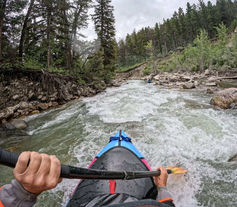
Continous boulder garden creeking in a beautiful, isolated gorge. Gradient is steepest right after put-in and mellows throughout the run. Difficulty will vary significantly with flows. Watch for bears on the hike-in and be heads-up for wood hazards.
Take-out: Take FS296.3A to Sunlight Creek Picnic Area, location of an old bridge across the creek.
Put-in: Cross Sunlight Creek on the Hwy 296 bridge and turn right on Sunlight Road. In 3.4 miles, immediately after a stock fence ends, turn right onto FS101-1B. Take the right fork and drive to the end of the road. A hiking trail begins below the waterfall overlook.
River Features
No river features have been added