Taylor Creek
Old US-41 to US-41

| Difficulty | III-IV+ |
| Length | 2.3 mi |
| Avg Gradient | n/a |
| Reach Info Last Updated | May 4, 2026 |
This micro-creek roughly parallels Dault's Creek, and has similar narrow drops between rock walls.
This short run is a hidden gem through a beautiful canyon and can be a fun option when everything else is too high around L’Anse. Note this micro-creek is a small drainage and takes unusually high-water levels to consider running it. A careful scout for wood is advised to make sure it’s runnable. Scout the canyon on river right. There are three main drops among several action packed rapids for this 1/4 mile canyon run. In April, 2026, the first rapid below the bridge had wood blocking the right channel where the river pushes strongly so we launched on the left channel after crossing the creek.
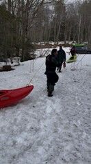
Putin – Drive south from L’Anse about 3 miles, take a left onto Dogpatch Rd., drive about a mile down Dogpatch Rd after the blacktop runs out to a pull-off on the right. Walk several hundred yards to the creek down an unmaintained trail that is part of the Baraga off road system. Due to unknown access issues, please tread lightly to preserve future opportunities.
Take out at bottom of the canyon after Browntown drop and hike back to vehicles or continue down the creek with lessening gradient to Rt.41.
Notes: First recorded descent: Tim Brown and Chris Buckley (with support from Mike Croak, Tarion O’Carroll, Jeff Siemers and Brian Aho) April 18, 2026.
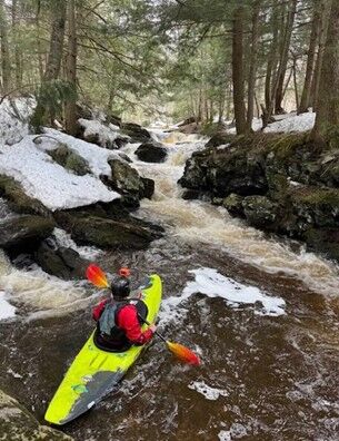
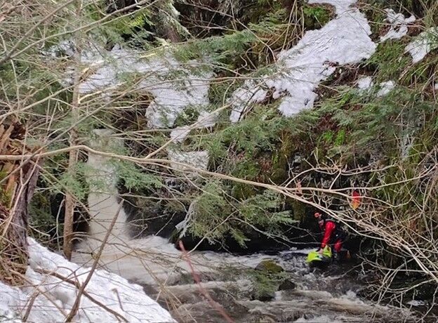
Tim Brown looking upstream after running the micro creek style entrance rapids (photo by Mike Croak)
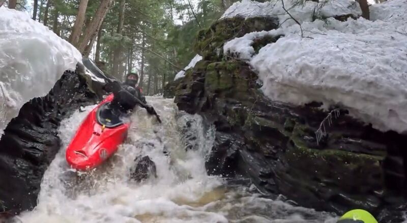
Bumper Cars
Get momentum for this first of three major drops through the slot and mind your partner is not battling the bottom hole!
Chris Buckley plunging the drop at Bumper Cars (photo by Tim Brown, click picture for full image)
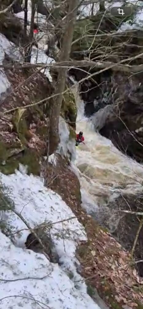
Bucktown
After a few smaller cascades, approach this bigger drop and aim a slightly left boat angle while being ready for a strong brace since the current pushes the unwary boater into the right wall.
Tim Brown in the runout as Chris Buckley approaches the Bucktown drop (photo by Tarion O’Carroll, click picture for full image)
Third and final drop 'Browntown Rapid' - a 12’ steep slide through a tight slot into the pool below.
Tim Brown in the bottom pool preparing to take out (photo by Jeff Siemers)