Umpqua, South
8. Roseburg to River Forks Park
| Difficulty | I-II |
| Length | 14 mi |
| Avg Gradient | n/a |
| Gauge | South Umpqua River Near Brockway, or |
| Flow Rate as of 1 hour | 80 cfs |
| Reach Info Last Updated | May 13, 2026 |
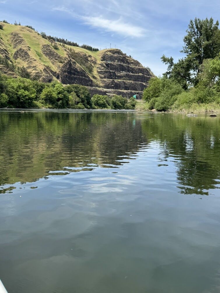
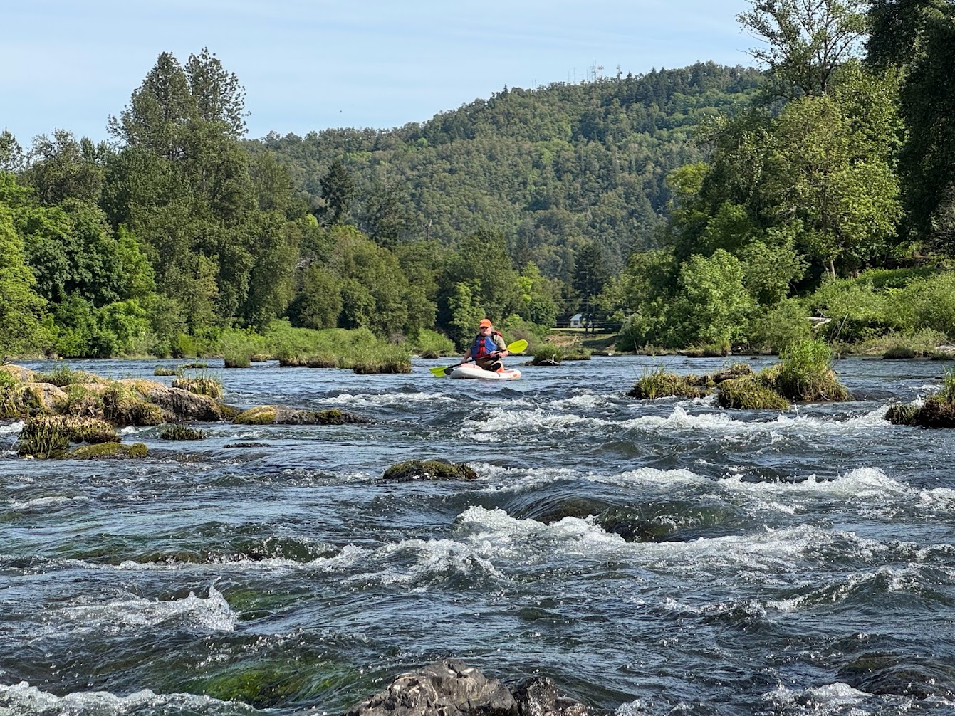
Wonderful class II run. From the Douglas County Fairgrounds boat ramp to Singleton County Park took 4.5hrs to cover 14 miles with @600cfs/4.5 feet on the Brockway gauge, paddling SUP's. It was pretty bony to run it with kayaks or rafts at that level. Very enjoyable, with slow pools followed by class II riffles over and over. The upper section through Roseburg would make a nice shorter paddle to Stewart Park bridge. The longer section below Stewart Park is also pool & drop and mostly rock bottom swiftwater but could be slow on a windy day. There are established boat ramps, upriver in Winston and at Happy Valley boat launch, Douglas County Fairgrounds (possible access issues), Templin Beach Park, River Forks Park and Cleveland Rapids County Park. Other put in/takeout options with no established boat ramps include Riverfront Park and Stewart Park (about half way), and Singleton County Park.
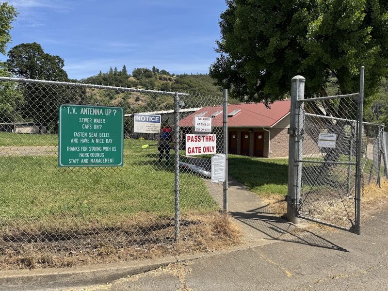
Access on river left at the Douglas County Fairgrounds.
Access on river right at River Forks Park immediately downstream of the North and South Fork Umpqua.