Rio Chama
03. Los Ojos to El Vado Lake
May 22, 2013
| Reporter | Timothy Scofield |
Ran it on 5/4 at about 750cfs. Saw three elk just before the canyon starts. Ran all the way down to El Vado.
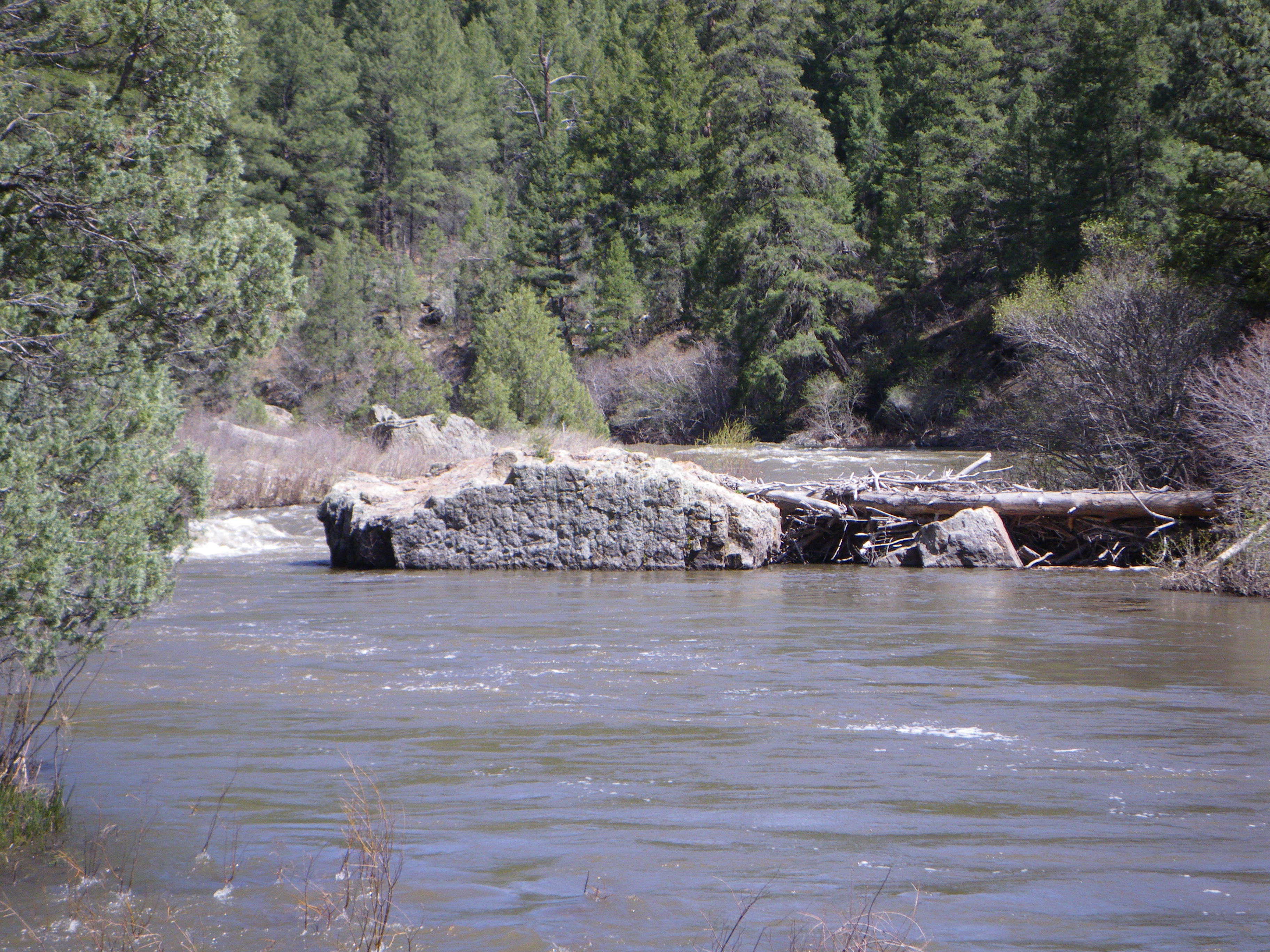
There is a low head dam at the USGS La Puente guage, but it has a dip on the right hand side that lets more water through. I've run it from 450 -2000 cfs and never had a problem on the right where the dip is. I think it actually makes a nice front surf spot (it's too shallow to do much of anything, and I don't recommend flipping)
First time I haven't had to paddle across the lake. The 'No Wake' buoy was in a wave train caused by the river. If the gate is open you can take out near the boat ramp or a little past it. Otherwise it's probably better to hike out at the fishing bridge, but good luck negotiating the stair landings with a canoe. When I ran it a long time ago with my 14' boat it wouldn't fit.
I talked to the folks at the USGS about the private property sign by the gauging station. They said that a fair number of the gauges are on private property. They sent me this link to a blm map showing what land belongs to the public and what's private