Black
2. Farr Road to Enos
| Difficulty | I-II |
| Length | 9.1 mi |
| Avg Gradient | n/a |
| Gauge | Black River Near Boonville Ny |
| Flow Rate as of 54 minutes | 178 cfsbelow recommended |
| Reach Info Last Updated | April 12, 2018 |
Eric Adsit shared:
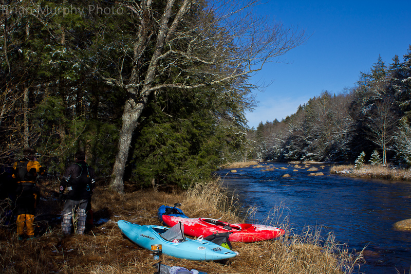
Farr Rd. to Enos
Beta from Dec. 3, 2011 @1050 cfs
This section is almost entirely flat with some class II stretches. At our flows, the rapids were scrapy with tons of rocks. Most of the flatwater in the middle of the run had almost no current. There are a few houses and seasonal camps on river right, but overall, the scenery is still very beautiful with a remote feel.
The whitewater picks up again at the Enos Rd. Bridge.
Tug Hill - Old Forge Area Reaches
Beaver (1. Moshier)Beaver (2. Eagle) Beaver (3. Taylorville)
Black (1.) Black (2.) Black (3.)
Black (4.) Black (5.) Black, S. Branch
...Jan 31, 2011
Bellingertown Rd/Enos Rd. Alternate Black 2 takeout./Alternate Black 3 putin.
lat=43.4109, lon=-75.0961 (Google Earth). Taking out here will make the 2nd section 5.9 miles.
Jan 8, 2011
FROM GOOGLE EARTH -- 'Black2: : I-V PUTIN' lat=43.4780555556, lon=-75.0094444444 to the 'Black3: : II-III PUTIN' lat=43.3980555556, lon=-75.1152777778