Black
7. Watertown to Brownville(Black River Canyon)
| Difficulty | III-V |
| Length | 4 mi |
| Avg Gradient | n/a |
| Gauge | Black River at Watertown Ny |
| Flow Rate as of 1 hour | 1130 cfslow runnable |
| Reach Info Last Updated | September 23, 2020 |
Once Great Rivers Await Restoration The mighty rivers of the Adirondack Region have been dammed and dewatered for more than a century. Once vibrant and free flowing, dams have damaged the natural river ecosystems of the region, home to diverse aquatic and terrestrial life. The Adirondack Region is renowned [...]Read More
In 1984, American Whitewater (Pete Skinner) joined Ron Smith of Adirondack River Outfitters and his attorney Ron Wilson in working to block the construction and licensing of two dams on the Black River near Watertown. When AW got involved the Glen Park Dam was already under construction, but together [...]Read More
The classic summer run for New York that has play spots almost every day!
Driving Directions: To the Put-in:
Take Interstate 81 North. Exit on Rte. 12-F, heading East toward Watertown.
Near the center of the town, take a Left at the lights onto City Center Drive.
Soon after that, turn left onto Whitewater Way.
Park at the parking lot there and play at Hole Brothers.
(Or you can walk up to the rafting shop, head through the gate, put in there, and get one more rapid with a couple of play waves...and then play at Hole Bros.)
To the Take-out:
Head out to Rte. 12-F, heading Right (back toward Rte. 81).
After about three miles or so, turn right onto Rte. 12-E toward Brownville.
Cross the bridge and grab the first Left. Park on the street. From the river, you'll see the takeout as a flatwater spot just after a large industrial plant on River Right.
Lat / Longitude data are verified by GPS.
Safety Warning and description of Knife's Edge Rapid
by Bridog, posted to the Northeast Paddlers' Message Board
Knife's Edge is the first significant rapid that you encounter as you paddle downriver from Hole Brothers. You will find it approximately 200 yards downstream from the Interstate-81 bridge. There are numerous eddies on both river left and river right, including a 'last chance' eddy on river left right at the top of the drop.
The rapid is basically a shallow fast section with a bit of gradient and 3 'ledges'. Depending on water level, boaters will choose different lines.
High Water (>5000 cfs): You can run 'Right-right-right' (river right side, all 3 drops. The last drop will have a large/powerful hole (Mary's Hole). Just hug the stone wall on river right and you'll have no problem. For more excitement start in the center and work right.
...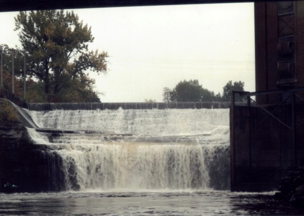
Paddlers can get a couple more bits of rapids by putting in at ARO, about a quarter of a mile upstream of Hole Bros. This requires climbing down a staircase and permission from the company. From this putin, you can paddle up to the waterfall (pictured).
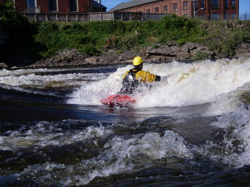
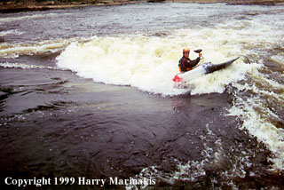
This and Route 3 Wave are the two most famous Park-&-Play spots on the Black. Hole Brothers is best below 2000 cfs, but it can be played higher.
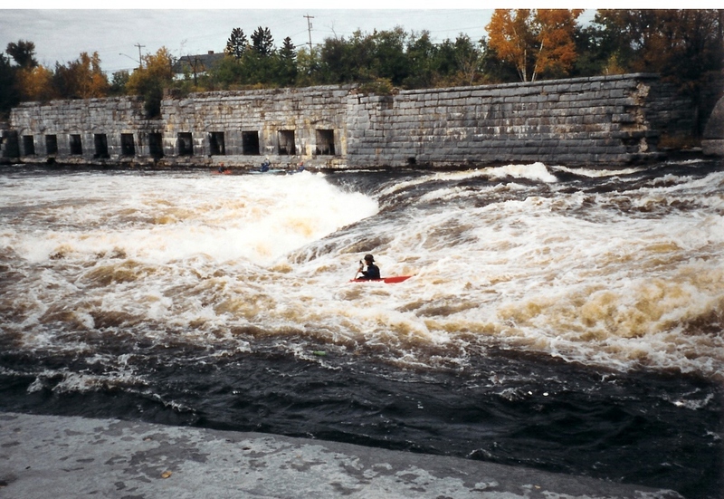
This is the first rapid after the I-81 bridge; scout it left (or from the road on the right at high water). The 'True Path' is the usual line here; start center-left, avoid the first hole on the left, and power left to avoid the second hole (and Molly's Crack!) in the middle.
B-Line is run above 4500 Start Center, and then cut all the way right to the corner of the old factory.
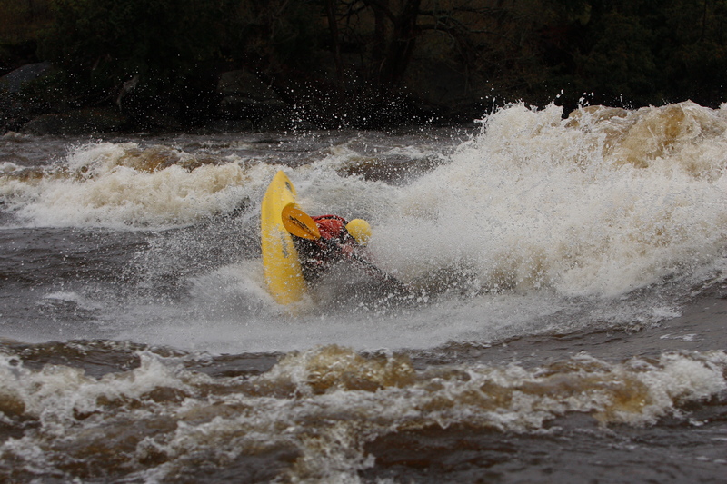
This is a big-&-burly playspot when the Black is running really high (ca. 10,000 cfs or higher). Just downstream of Knife Edge, it is accessible by Rte. 12E, North of the river. Look for the big blue building (Torres Auto Repair); park on the road next to the river, head on out, and surf yer braims owwwt!
Update: Since spring 2011 ICS has not reappeared. The wave behind ICS does come in above 20,000cfs.
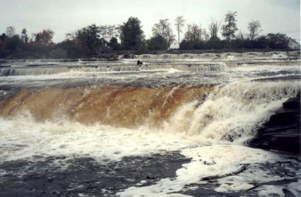
Just below the Glen Park Dam.
Easily portaged by going to the right of the dam. There is an obvious path that the commercial rafting companies use. Follow the trail all the way down to the fish ladder or rock scramble back down to put in for Three Rocks.
If you choose to run Glen Park Falls you'll want to head left. Often you'll have to wait for the water to 'turn on,' which is a good opportunity to scout the last drop for debris that likes to collect there. Glen Park Falls can be run several ways but best to avoid being munched by the hole at the bottom.
Locals gauge the flow by checking out the square on the dam. When the square is 1/3 covered it is runnable but scrapy; 1/2 covered is ideal ; 2/3 covered it starts to get pushy. Generally a 1/2 covered square is about 2000 cfs going through the canyon.

Just below Glen Park Falls. Scramble down the rocks if portaging.
The rapid has changed in the past decade to a straight forward wave train.
This rapid zigs and then zags. Watch out for the giant rock at the bottom of Zag, which has pinning potential at low water.
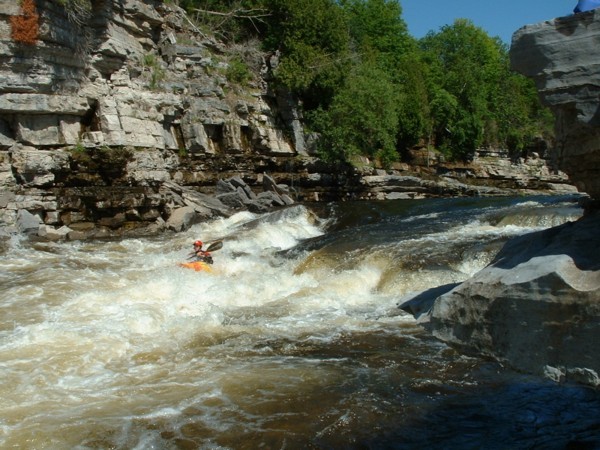
One good line is to run center-to-right through a diagonal hole, catch the eddy, and then head into the middle through the mess to finish the rapid.
As of 2013 a large rock fell into the pool beyond Cruncher. This raised the pool level and has covered *the* hole at the bottom.
Below Cruncher is a crumbling dam that creates the rapids Rocket Ride/Poop Chute. It's worth noting that at medium to high flows a low head can form depending on the flow through the canyon and the level of the pool below. Scout if you have any concerns.
The dam in the past decade has also seen the effects of heavy erosion. Watch for rebar and undercuts forming just under the surface of the lip, especially closer to right (Poop Chute.)
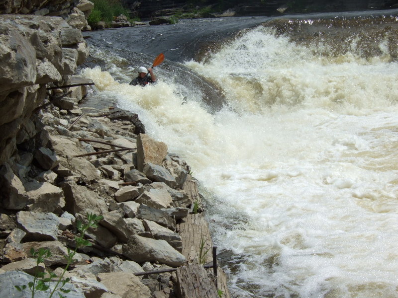
The Rocket Ride, a sloping drop across an old dam, covers most of the river. It's so scary, you'd better run it backwards. Be sure to run it to the left, rebar has appeared in the center and towards the right side.
The Poop Chute is a narrow and squirrelly line on the right. Try to run it upright, and don't get mashed up against the Wailing Wall below.
A small or giant wave train depending on the flows
Hidden by the horizon line, a diagonal hole pushes into a sharp under-cut shelf. Punch the shoulder on the right or get stuffed!
Something has shifted on the run out and created a nice steep, surfable wave
Just after the plant, take out on river right and climb up the hill with your boat to the cars, parked on the road in Brownville. Rafters take out at the dam, 2 miles of flatwater downstream in Dexter.
Another option is to climb up along the bridge on river left into the parking lot above.
Oct 24, 2012
the level water you can read here is good for the Hole Brothers until the Dam (glen park falls) after that you need a release from de dam for running the Gorge of the Black.
Bastien Bourassa-Dusseault
Oct 4, 2010
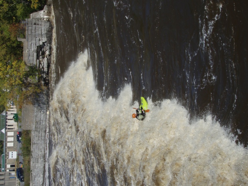
View of the 'hole' at the bottom of Knifes Edge from the top of the RR building
Oct 4, 2010
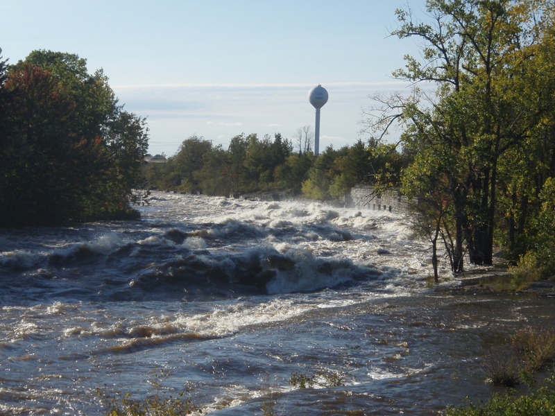
Knifes Edge from the top, ~22,000 cfs