Cattaraugus Creek, S. Branch
Otto to Gowanda
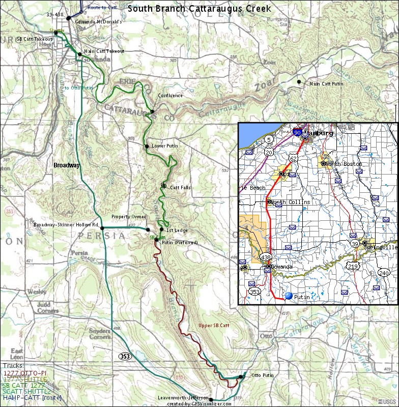
Map created by Ratt Boy based on data ported to Garmin GPS, with mad props to <a href="http://www.GPSVisualizer.com"target="newlink">GPSVisualizer</a>.<p> It shows the three putins: Preferred (a couple miles above the Falls), Lower, and Otto (used when access is denied at the Preferred Putin).<p> Check out all the Ratt Boy Maps by <a href="http://www.americanwhitewater.org/content/Photo/results-page/page/1/max/9/list/%2A%2AI-%7C11X%23%21K_/">clicking here</a>.
Ratt Boy (KHCC, FLOW)
n/a