Cattaraugus Creek, S. Branch
Otto to Gowanda
Sep 12, 2021
Not Forties:
Having grown up above Zoar Valley near Gowanda (our property adjoined the State Land that literally overlooked Valentine Flats and the confluence of the East and South Branches of Cattaraugus Creek), and lived in the area for 35 years, I can tell you the area below the falls on the South Branch near Skinner Hollow is known as Forty, not Forties. The old iron bridge, now long gone, was known as the Forty Bridge. Indeed, the road leading down into the gorge from the west, off Point Peter Road, is called Forty Road. I don't know where the moniker came from.
Nov 17, 2010
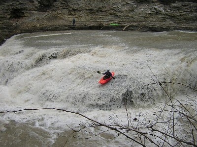
For those of you confused, as I was, the South Branch of the Cattaraugus is known as Forties (40's)... I have also never known Catt Falls by that name. Looking back at my teenage years when we used to hike the mile up from the Zoar parking lot to the Falls, I never remember seeing enough water on that slide (shown in the picture), but I am sure with enough water, that section would be sick. Has anyone taken the line down the falls on river left (where all the kids jump off the 15 ft ledge between the center rock and the shore?
Sep 1, 2008
I ran the South Branch back in April just above the 3.5 feet minimum. I think it was 3.7 and it was definatly worth it. The gauge on the main branch seems to be very accurate for the South Branch. This is a beautiful run if you can catch it while it's up! I highly reccomend it and The Falls is a hoot, very easy but very thrilling!
Mar 12, 2006
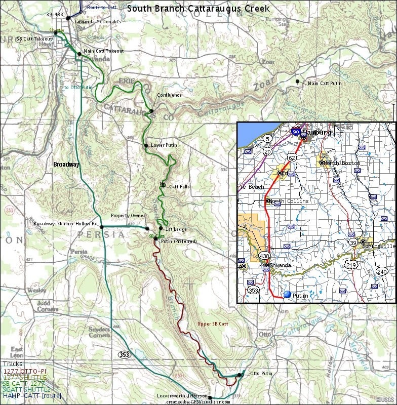
Map created by Ratt Boy based on data ported to Garmin GPS, with mad props to GPSVisualizer.
It shows the three putins: Preferred (a couple miles above the Falls), Lower, and Otto (used when access is denied at the Preferred Putin).
Check out all the Ratt Boy Maps by clicking here.
Mar 11, 2006
Check out the full-sized version of this photo by clicking here.
Mar 1, 2006
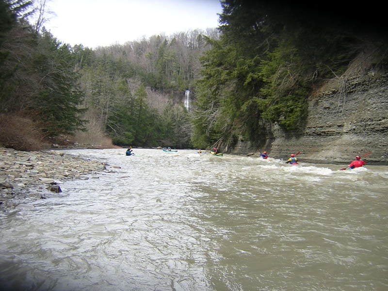
this is typical South Branch Cattaraugus scenery - seen above the 40 road put-in. great section, i hope access can be worked out.
this put-in is on Posted Property...everything is posted. yet, the land owner says ask, and he's granted access many times in the past. owners house is 1st one upstream of bridge, east side of river on Otto end of Skinner Hollow road.
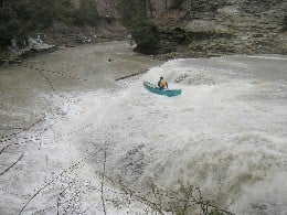
Dave was the trusted probe this day! many options here. some ran off the steeper part to his left, others went to his right, just below but along side the center split. Don Cochran (background) ran safely far river right. i've done the right side at 5', but the hole was really strong at the bottom.
Hans gets the line he wanted! boofed a great landing too, no water in the boat.
this is possibly the most difficult rapid in this stretch. a sluice, just around the right hand turn after the falls. see the river write-up for more details. its a bit pushy and twisted, hence called Corkscrew rapid!
leaving the eddy after Corkscrew rapid. great day to update the AW page!
see larger photo....