Trip Reports
Log in to add a reportMP
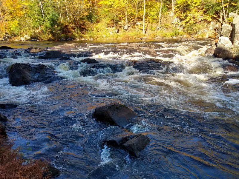
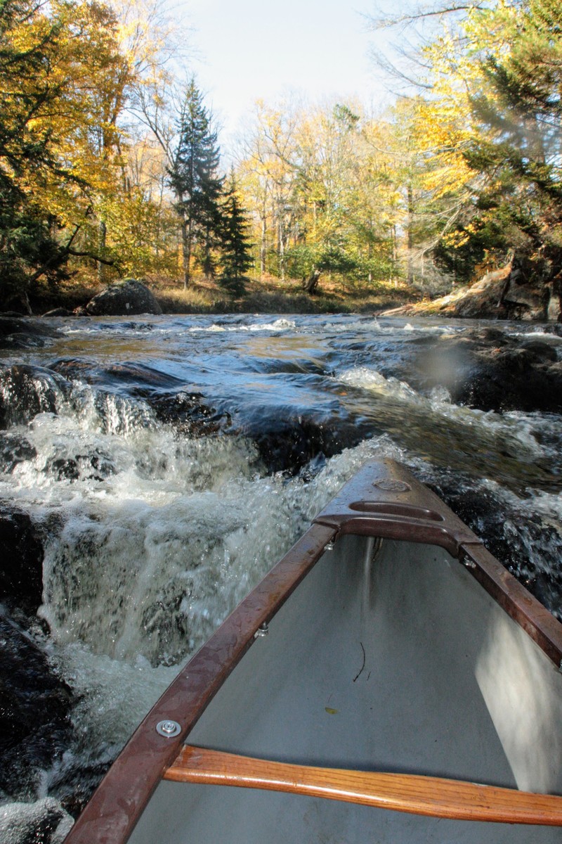
Marty Plante
Oct 14, 2019
The best put-in is at the end of Pelon Rd in the hamlet of Indian Lake, NY (GPS 43.792383, -74.289024). It avoids the bridges and uninteresting section that flows through the golf course farther upstream. The Pelon Rd put-in has lots of free parking. The trip is a mix of flatwater and Class 2 rapids. The rapids are narrow with usually only one clear line, so there's no opportunity for surfing or eddy hopping. The lowest runable level is 4 feet on the Hudson gauge at Newcomb, but canoes may have to line or portage a rapid or two at this level. The takeout is the Outer Gooley Club on the Hudson River (GPS 43.827301, -74.200674) with room for about 8 cars. In winter and mud season the DEC closes the access road to the take-out, but in summer the river dries up, so the best time to paddle the Cedar is in the spring, immediately after the DEC opens the access road to the Outer Gooley Club and the water level is still high.
MP
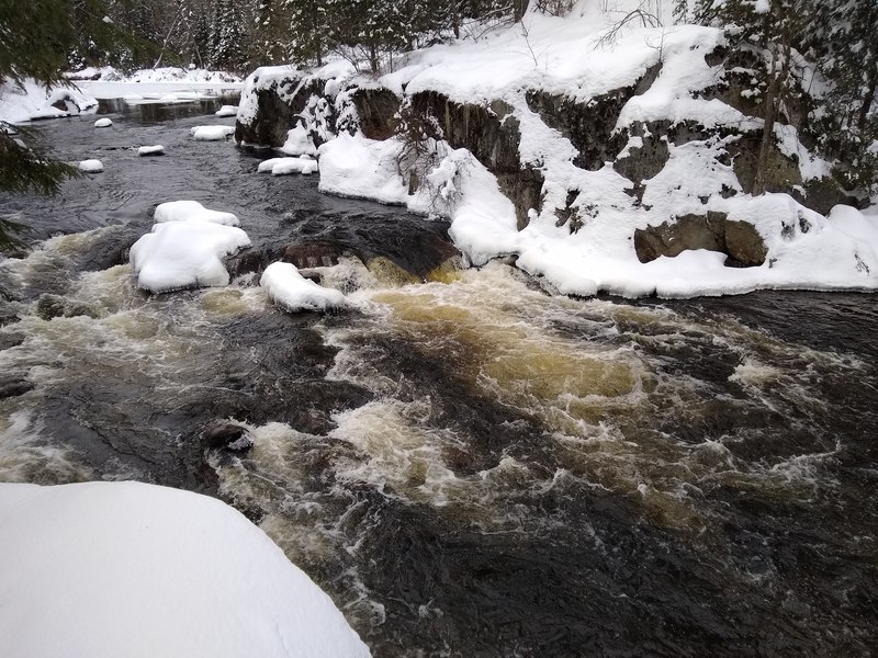
Marty Plante
Nov 19, 2018
Pashley Falls on the Cedar River. Hudson River gage at Newcomb was 2.4 ft. GPS location: 43.856212, -74.218606