Honeoye Creek
Highway 20 to Big Eddy Park
| Difficulty | II-III |
| Length | 6.3 mi |
| Avg Gradient | 20 fpm |
| Gauge | Honeoye Creek at Honeoye Falls Ny |
| Flow Rate as of 50 minutes | 1.97 ftbelow recommended |
| Reach Info Last Updated | June 9, 2016 |
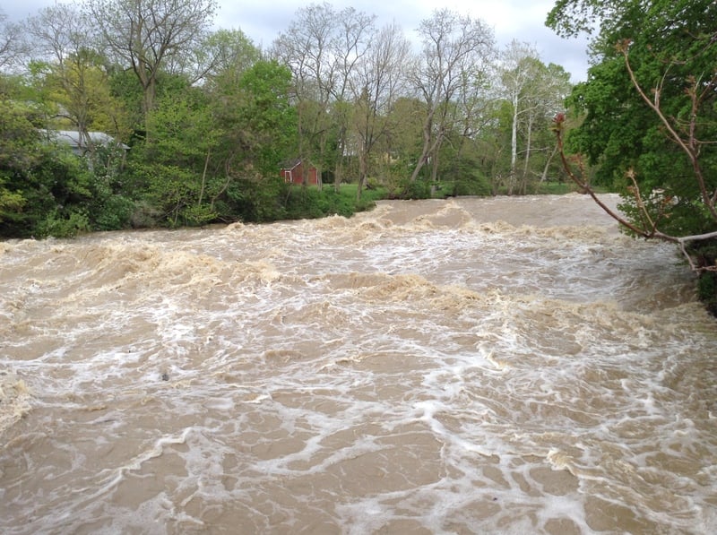
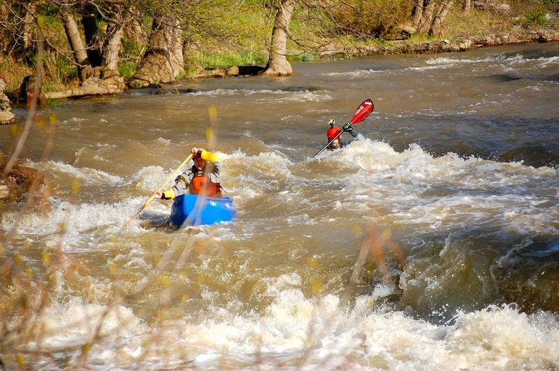
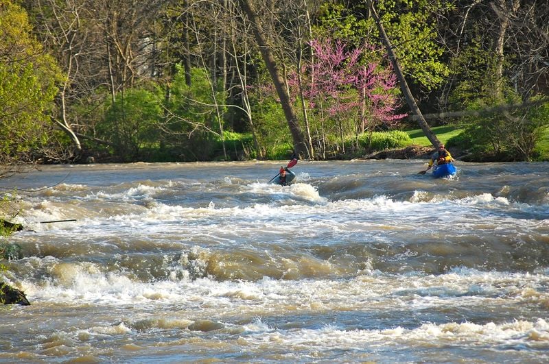
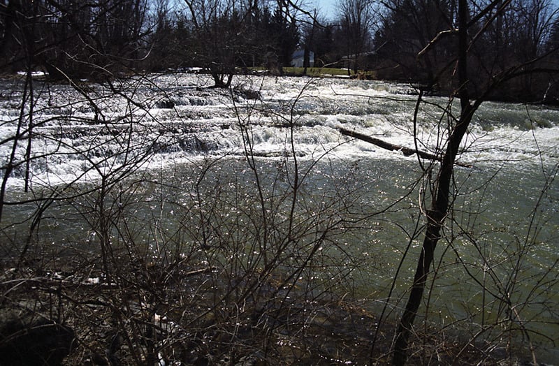
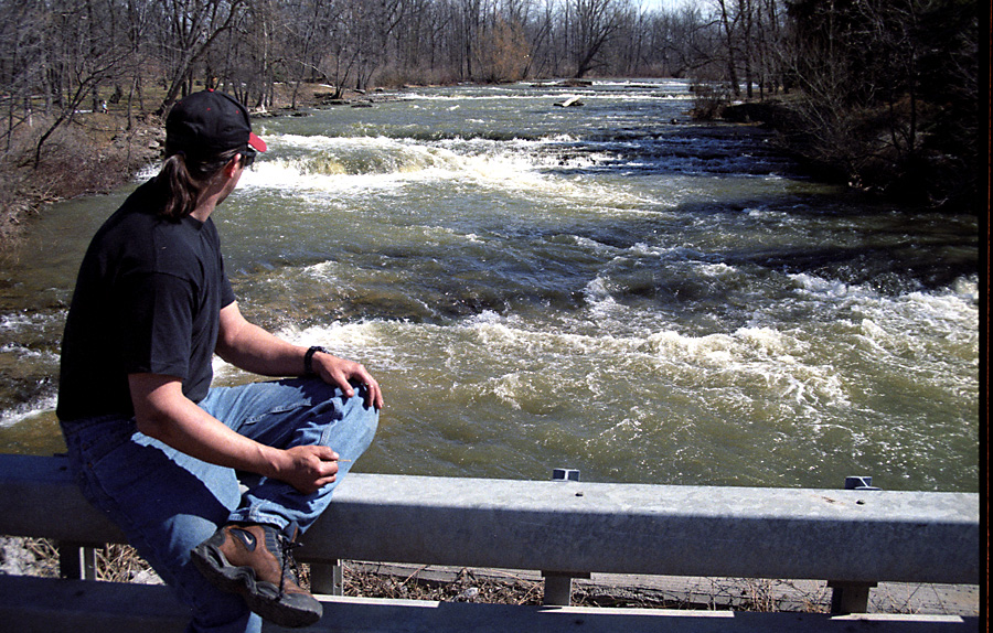
Honeoye Creek is almost entirely a class I paddle except for a short class III stretch that begins one mile south of Honeoye Falls. This stretch of the creek is solid class III and consists of two series of rapids ( The Ledges). The total drop is 50 to 60 feet over 3,000 feet, giving The Ledges an average gradient of -90 to -105 feet per mile. The creek flows over a dam located in downtown Honeoye Falls, New York, creating an unrunnable 12-foot high waterfall. Honeoye Creek floods during the spring. The highest recorded flood peak was 6,600 cfs on June 23, 1972.
THE PUTIN
The putin is problematic. You can putin at the Highway 5 & 20 bridge approximately 3 miles south of Honeoye Falls, but that puts 3.5 miles of class I flatwater between you and The Ledges. A better putin is from highway 65, about one-half mile upstream from the Martin Road bridge, at the highway's closest approach to the creek. You must obtain permission to cross 100 yards of private farmland for this putin.
'THE LEDGES'
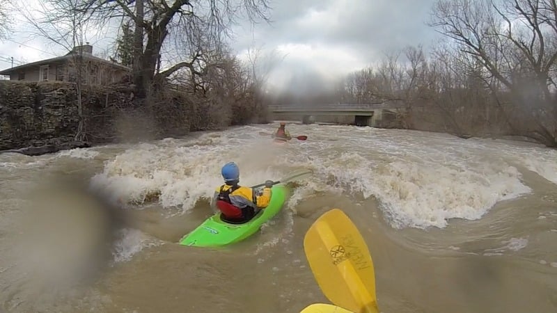
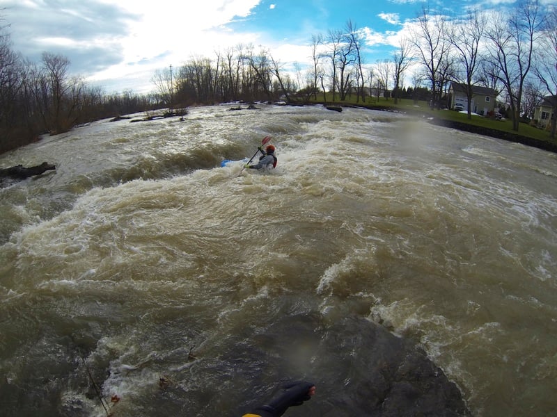
The Ledges of Honeoye Creek consists of two sections, The Martin Road Ledges and the Highway 65 Ledges. Both sections are staircase drops, with multiple 2-foot ledge drops. Many of these ledge drops have recirculations resembling those of low head dams. You must scout the creek to identify potentially sticky hydraulics, especially at high water. The Martin Road Ledges can be scouted from Martin Road bridge. The Highway 65 Ledges can be scouted from the Highway 65 bridge and the river-right bank.
The run over the Martin Road Ledges begins 1,000 feet upstream of the Martin Road bridge. The creek drops 15 to 20 feet (for a gradient of -80 to -105 feet per mile). After passing under the
...Apr 24, 2026
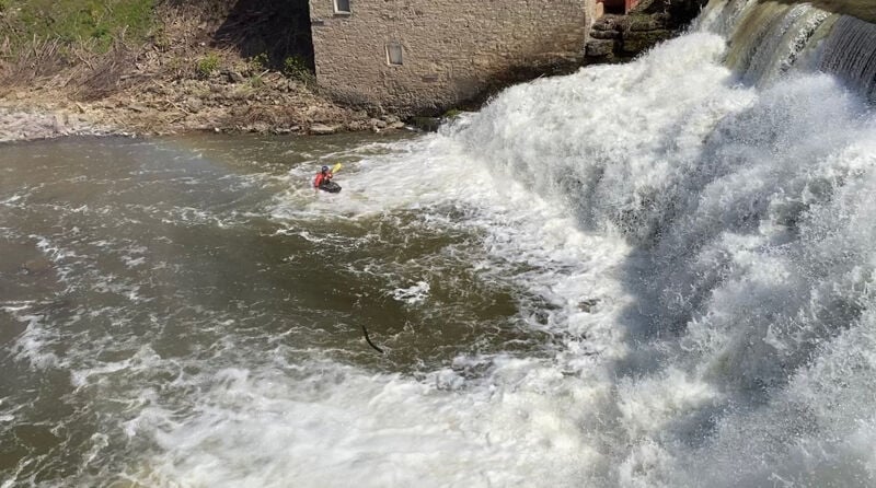
The kayaker was not recognized and running solo. However he scouted the falls carefully and ran the far right side down the staircase of ledges without incident.
Mar 5, 2020
I paddled this last year at about 3.5' and I would call that the minimum. Not sure if the gauge was modified from the time of the initial AW listing but this needs to be revisited. 2.5' would be nearly impossible for the ledges - maybe not for the flat water.
We parked at a collision shop on Bragg St. in Honeoye Falls (nobody was there on a Saturday so we had to gamble). We then carried our boats for about a tenth of mile down a cell tower access driveway. The creek is down a small embankment through the woods. This access road might have been chained off - I can't quite remember at this point a year later.