Raquette
2) Piercefield to Parmenter Site
| Difficulty | II-V |
| Length | 17.6 mi |
| Avg Gradient | n/a |
| Gauge | Raquette River at Piercefield Ny |
| Flow Rate as of 1 hour | 377 cfsbelow recommended |
| Reach Info Last Updated | April 5, 2016 |
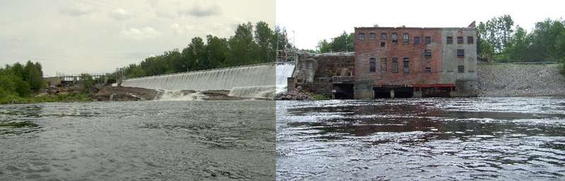
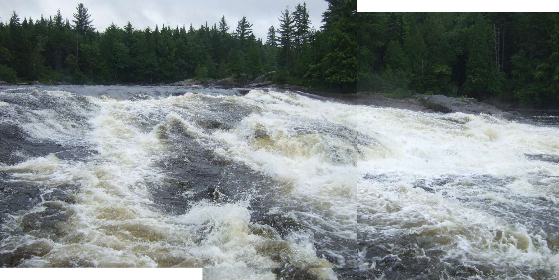
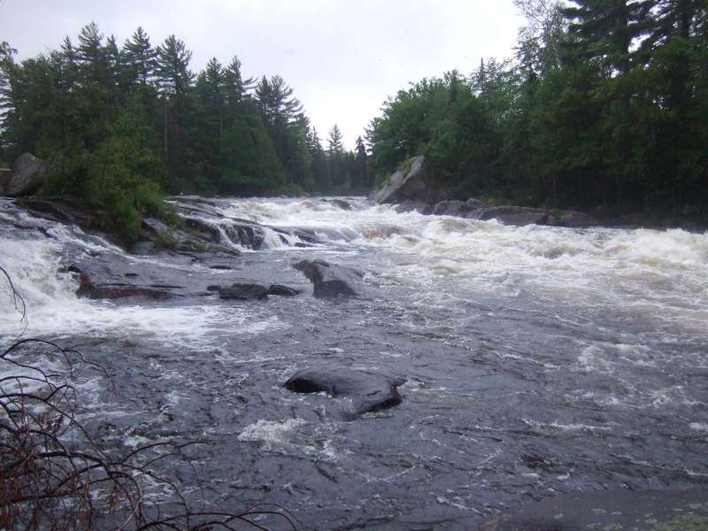
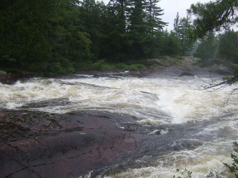
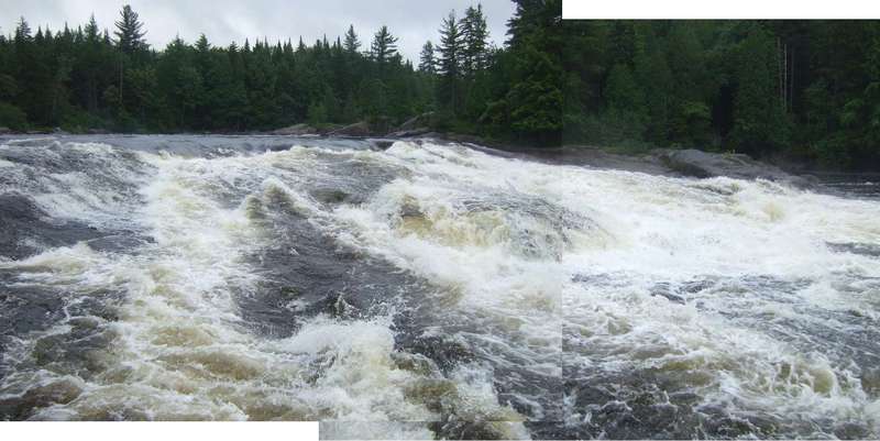
Assuming Class III is familiar to you, the first challenge is the Upper Sols and Lower Sols (around Sols Island). Go left around the island. Upper Sols increases in difficulty and the final part is class IV and can be scouted and carried on the Left. Then, flatwater and class II rapids alternate. The 5.7-mile Moosehead Stillwater follows, giving a relaxed time to enjoy turtles basking in the sun and other wildlife and flowers. Then Moosehead Rapids (class II-III) are 1.25 miles long with no portage trail. Next up, on a right turn, stay to the right of an island so you are ready to scout or portage Moody Falls, a class IV/V. The lower part is easier than the upper part. After Moody Falls, some carry out (or in and upstream to run Moody Falls) to NY 56. After less than a mile of flatwater, one encounters Jamestown Falls. Both Upper and Lower Jamestown Falls are impressive class V's. The national slalom team used the Falls as a training site in 1988 with flows controlled by the powerhouse.
The Parmenter site is a takeout. You can drive to the water when the campground is open or walk out to NY 56 on an asphalt road in the off season. Be aware that when there is a release at Piercefield, the beginning of the release will take several hours to travel the 14 miles to Moody Falls.
There is one release scheduled each year, as well as natural flow opportunities. The scheduled release is on the last Saturday of June and lasts 5 hours. Information on releases can be found at 800-452-1742, and using the code: 365130.
Submitted by Betty Lou Bailey of the Adirondack Mountain Club
Dennis Squires' book lists this as a good (and beautiful) overnighter, which typically runs until early June.
Potsdam - Malone Area Reaches
...
An alternate putin is the town beach on river left.
Note: coordinates and distances are verified by GPS.
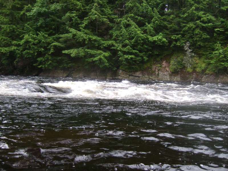
A mildly complex and fun ledge drop.
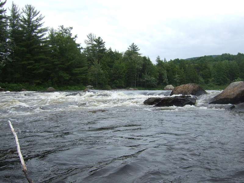
A long rapid with some surfing waves.
A long rapid with some surfing waves. There's a primitive campsite just upstream, on river right. (I have no idea whether or not it's public property or not; if you choose to camp here, or anywhere along this reach, it's best to keep your presence and footprint small and unnoticeable.)
This is a serious drop which you'll want to scout (and maybe portage). According to Squires, the line changes with the water level. At 1700 cfs, there's a sneak along far river right.
That hole is munchy. It looks like it might weaken in the middle, but with a loaded boat and no one to save my sorry butt, I walked it at 1700 cfs
Squires lists Upper Jamestown as a IV+/5.0, and Lower Jamestown as bigger and badder--likely a portage. At 1700 cfs, I found that I wanted to walk Upper J, but I found a far-right sneak at Lower J.
If you don't want to paddle to the Parmenter Site, you can take out 250 yards below, at a hard-to-find (from the road) dirt road.
According to Squires, there's a takeout just downstream of Jamestown, tough to see from Rte. 56. I'm skeptical; I think the dirt road might be private property, but I'm listing this spot in case you can find a way to get to it and save yourself two miles of paddling.