| Difficulty | II-IV |
| Length | 29.4 mi |
| Avg Gradient | n/a |
| Gauge | Hudson River at North Creek Ny |
| Flow Rate as of 38 minutes | 2.77 ftbelow recommended |
| Reach Info Last Updated | May 13, 2020 |
River Description
Starting at the outlet of Lake Durant the Rock runs through backcountry until it meets the Cedar and then meets the Hudson upstream of the Indian confluence. Expect lots of flat water, beautiful views, and some quality white water. It will grow and grow over the course of the 16 or so miles to the Indian River confluence. You'll want to catch this one within 6-8 hours after a big rain, with the Hudson 6ft and rising.
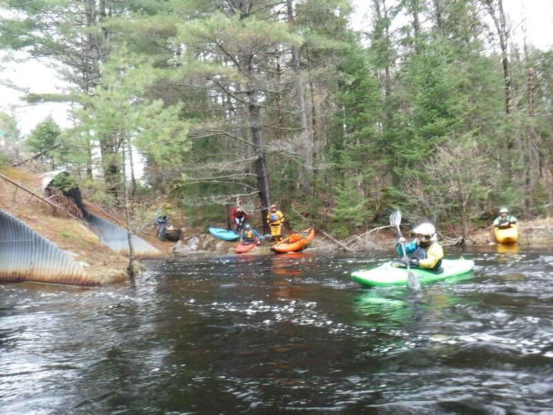
The put-in is at the outlet of Lake Durant. And you can take out upstream of the Indian River confluence at the Gooley Club (depending on whether the road is open / how long you are willing to hike) or continue down to North River.
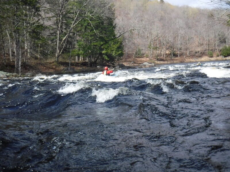
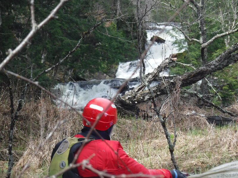
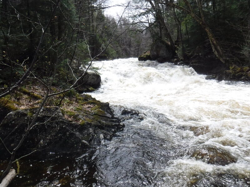
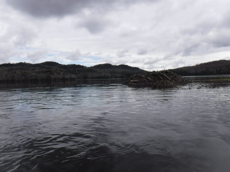
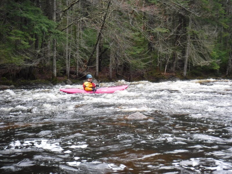
From Lake Durant the creek goes into Rock Lake. These first few miles will be scratchy, with a couple beaver dams. Once you arrive at Rock Lake, keep to the left shore - the inlet and outlet are right next to each other, so the flatwater is limited. After Lake Durant the river will pick up and there will be two Class 4 drops to scout before the Cedar confluence. Scout RR and RL respectively. The second is a beautiful three tier drop, but the RL portage is challenging if you decide to walk. At this point the Rock has gained significant volume from several tributaries.
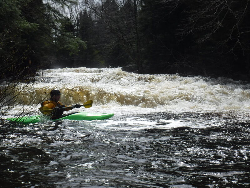
Once you join the Cedar (comes in from RR in a boggy section) it will be class III with one class IV at an island. You can scout the island rapid from high on RL. You then join the Hudson is class II-III at this point. If you started on the Rock and it was navigable, the Cedar (and the Hudson) will have a big-water feel, though totally manageable.
Eastern Adirondacks Reaches
Ausable, E. Branch Ausable, W. Branch (1.) Ausable, W. Branch (2.)
...River Features
Put In
Access PointDistance: 0 mi
Take Out
Access PointDistance: 13 mi