Schroon
Starbuckville to Riverbank
Sep 1, 2025
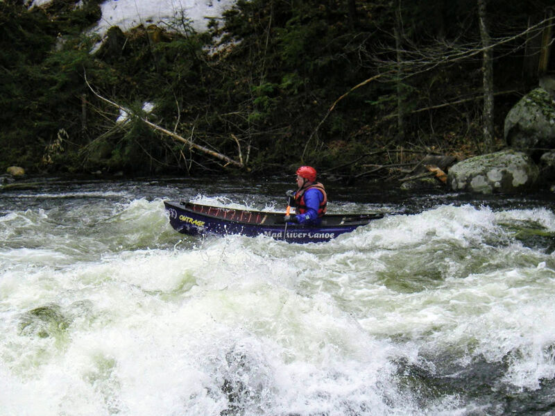
Marty Plante on The Big Drop, Schroon River, Warren County, NY. (Photo taken at GPS 43.617471, -73.745522) .
Sep 7, 2011
2011 9/7 We ran this last weekend and will again this coming Saturday at 5:30AM (yup we are early birds). I have run this from 3.7 weeks prior. When we ran it last week levels where 5.8-6. 5.8-6 is a very fun level. We put in at the DAM which means a few extra rapids but a bit of flat water as well. I think it is worth the extra flat water. Total run from the DAM takes about 2 1/2 to 3 hours. The mile long strecth of rapids is very fun at 3.9 feet or greater. Anything lower is runnalbe but very boney. Anything above 5 it would be good to have your roll down but there are plenty of places to get back in your boat so no worries for sure. Currently there is scafling hanging from the 2 nd or 3rd Bridge for repairs, hang left and you cruise right under it if the levels are 6' or less. At 7' you may want to portage around on the right, very easy portage. Rather then go around or hit my head, we choose to go straight down the middle, dump over, wait 7 seconds and rolled back over. No issues.
Now the best and most fun rapid is near the end. I would not call this the 'BIG' drop, rather just 'the drop' or as we called it after seeing it at 4'....'little missy' since it was very underwhellming at this level. However that all changes at 6'. 'little missy' which looks like a bumpy ride at 4' churns water back about the size of a Tahoe SUV. Now there are 3 routes. #1 At level 6' River left through the Tahoe sized wave/ hole...if you do not know how to roll in a hole...avoid this route. If you can roll you will be getting wet. #2 River Right, this is the safest route followed by a nice large wave to launch your self up up and away. You could go river right and before the nice large wave scoot left...but what fun is that. This is the route the other guys on our trip took with no issue and launched off the nice wave. #3 River Center...this is the route I choose since I was not sure which way I wanted to go this time. I ended up going through the Tahoe Sized Churning Wave/Hole on its right side. I succesfully made it through but this put me a bit side ways. Next I was pushed to the Nice large wave river right, hit that side ways...up up and away and came down upside down. Rolled back up and road the rest of the smaller waves to the flat water section.
At 6' I would say it was the most fun and the DROP or Little Missy is a solid class III but is not very long so no worries if you really don't have your roll down. Scouting on river left is very easy and there is beaten trail. At 4' no real need to scout but is a nice place to eat lunch over looking Little Missy on the rock.
Aug 14, 2011
Level was about 6.4. Actually at 5.8 it seemed better...but still fun.
May 10, 2008
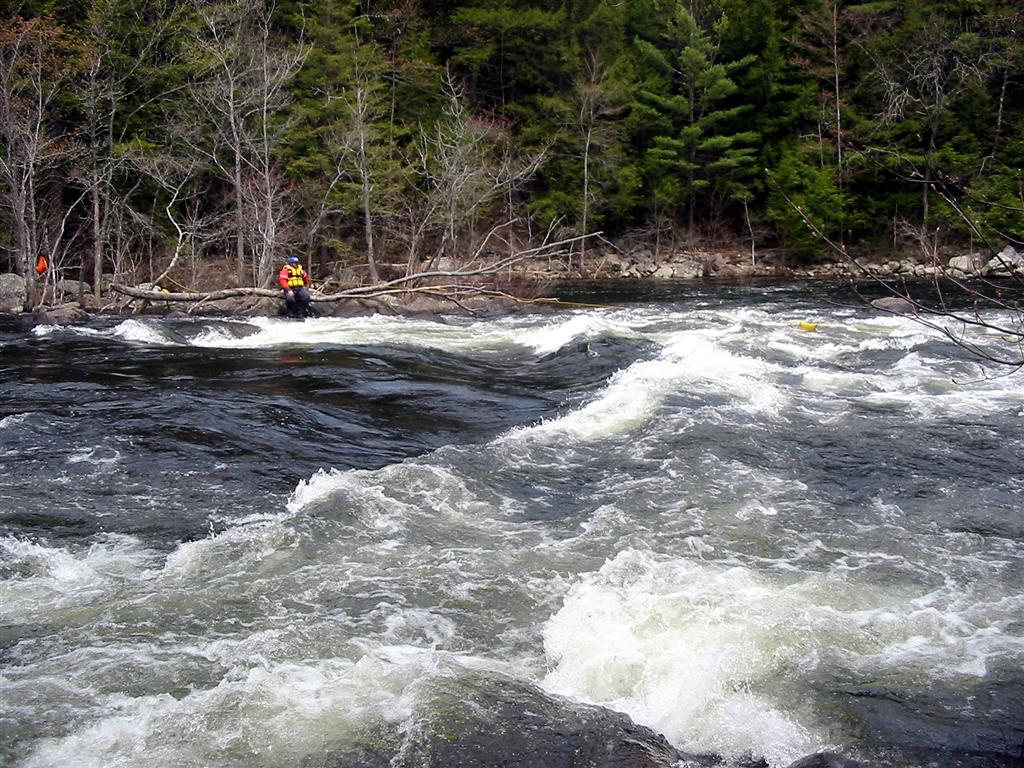
Right below the alternate put-in which is used to avoid the flats.
1st rapid right after the alternate lower put-in, which is used to avoid the flats.
This is the last part of the 1st rapid, which ends in a good size pool.
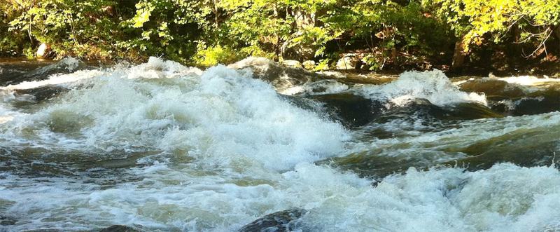
A decent length of class 2 rapids.
May 10, 2008
Using the alternate lower put-in, the length of the run is shortened to a little over 3 miles.