| Difficulty | IV-V |
| Length | 9.5 mi |
| Avg Gradient | n/a |
| Gauge | West Branch St. Regis River Near Parishville Ny |
| Flow Rate as of 1 hour | 143 cfsbelow recommended |
| Reach Info Last Updated | June 22, 2016 |
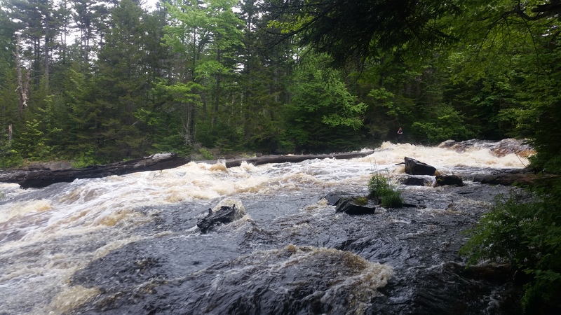
River Description
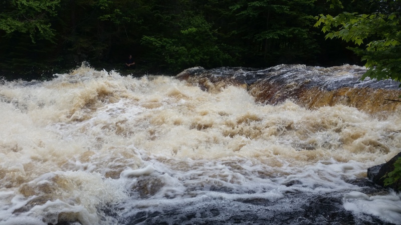
This was first run in the late 1980s. The first big drop is called Cedar Rock Falls. The second big drop doesn't have a name. Here's the description from Don Morris, who ran it:
'I ran this section twice, shortly after Champion International started developing their easements. I think it was in the late 80s to mid 90s. The first time we thought Cedar Rock was Class 4; the second time we thought it was a 3 plus.'
Here's a video of the first drop: https://www.youtube.com/watch?v=oDy93ROq1Ng.
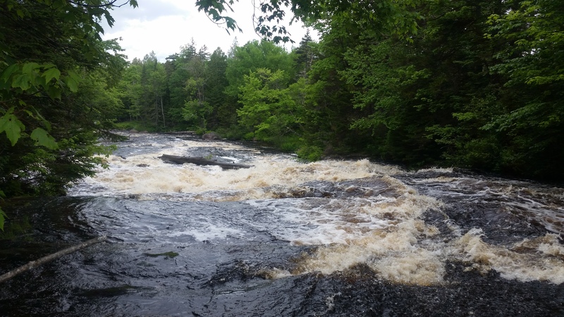
The section above Cedar Rock Falls by a half mile or so has some II+ stuff, too. Here's a video of that section: https://www.youtube.com/watch?v=6eEga7olTr0.
Flow levels: You could paddle that section with a lot more water than 1,300, that's for sure. I'm not sure what the upper limit is, but at least 2,000 would be my guess.
Lastly, the put in on Quebec Brook is fine. Spring Cove is a weird place to end, though, since there's no takeout there. Once you pass that Blue Mountain Rd. bridge after the Cedar Rock Falls section, the next take it is the oxbow above the rapids before Spring Cove. Once you pass that, the next place to take out is the end of Santa Clara Flow. There are no rapids after Spring Cove that I recall.
Potsdam - Malone Area Reaches
Chateaugay Deer (Dickinson Center)
Deer (Dickinson Center to Lawrenceville) Grass (1. Lampsons Falls to Downerville)
...River Features
Put In
Access PointDistance: 0 mi
Take Out
Access PointDistance: 8 mi