West Canada Creek
Big Brook to Route 8
| Difficulty | III |
| Length | 3.6 mi |
| Avg Gradient | n/a |
| Gauge | West Canada Creek Near Wilmurt Ny |
| Flow Rate as of 1 hour | 52 cfsbelow recommended |
| Reach Info Last Updated | April 14, 2016 |
This section of the West Canada is generally run from the bridge over Big Brook on Haskell Road to the Scenic Lookout at the Route 8 Bridge in Nobleboro. Haskell Road has a few gates which are closed in the spring and fall, but you can generally get to pothole falls (about .5 mile from Big Brook put-in) without hiking.
This is a solid Class III run with a class IV (pothole falls) near the beginning. Haskell Road (a seasonal dirt road) runs parallel to the river and can be used as an escape route if needed. Most of this land is private hunting camps however, so use discretion.
The put-in at Big Brook is also home to a couple Class IV creeking drops upstream from the bridge if you want to bushwhack up to them. Paddle a half mile of II-III water to pothole falls. Eddy out for this one to take a look, and notice the second hole after the falls. If the falls dont get you that hole can. The rest of the river is II-III to the confluence with the South Branch near Nobleboro Bridge on Route 8.
Comments from Rob Yager: North Branch of the West Canada
Good intermediate run with outstanding scenery. Early spring the gate may be closed, so you\'re looking at a mile plus of prepaddle portage. Hopefully you can drive right up just past the ledges you can see from the dirt road and put in.
Starting at the pothole falls when hiking, may seem more appealing than starting above where you can get a 3+ ledge to warmup on before the class 4 falls. At about 3000+ cfs the falls has an \'easier\' line to the right, punch the 2 holes and do not boof too far right, look out for the stomping hole that can be easily avoided to either side.
Class 2 leads into some beautiful class 3, lots of eddies and even a real good wave on river left next to a small eddy and a big boulder.
If you have a full day, mix this one in with the South Branch first, then the North Branch and lastly the Ohio Gorge. I imagine the N. Branch would be a blast at 5000+ cfs or eve
...If the gate is open you can get to the bridge at Big Brook. There is room to park before and after the bridge on the right. The river is moving good right here at the put-in. Big Brook itself can also be a fun run.
This is a good big drop about 8 feet into a gnarly hole, followed by another hole and then for good measure one more. Run at higher levels this offers a few better lines.
River right is the scenic lookout on Route 8 where you can take out. Above the bridge you find an old dam that creates a small play wave.
Apr 15, 2006
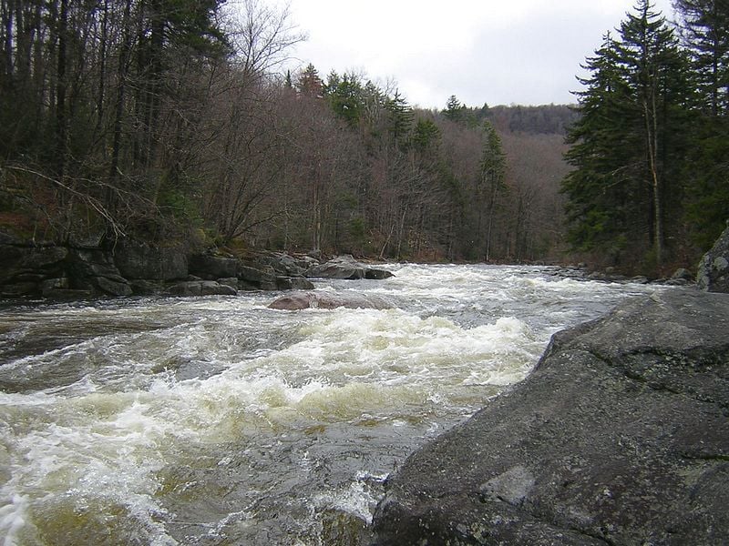
this is a general look (upstream) of rapids on this stretch. level is only a reference, the Wilmurt gage is well downstream and added with South Branch.
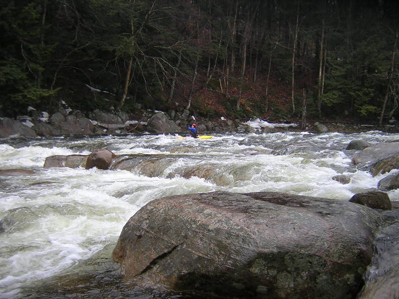
this is a general look (downstream) of rapids on this stretch. level is only a reference, the Wilmurt gage is well downstream and added with South Branch.
there's a million eddy's on the edges of this river. all round boulders, lots of class II and III with no flat water.
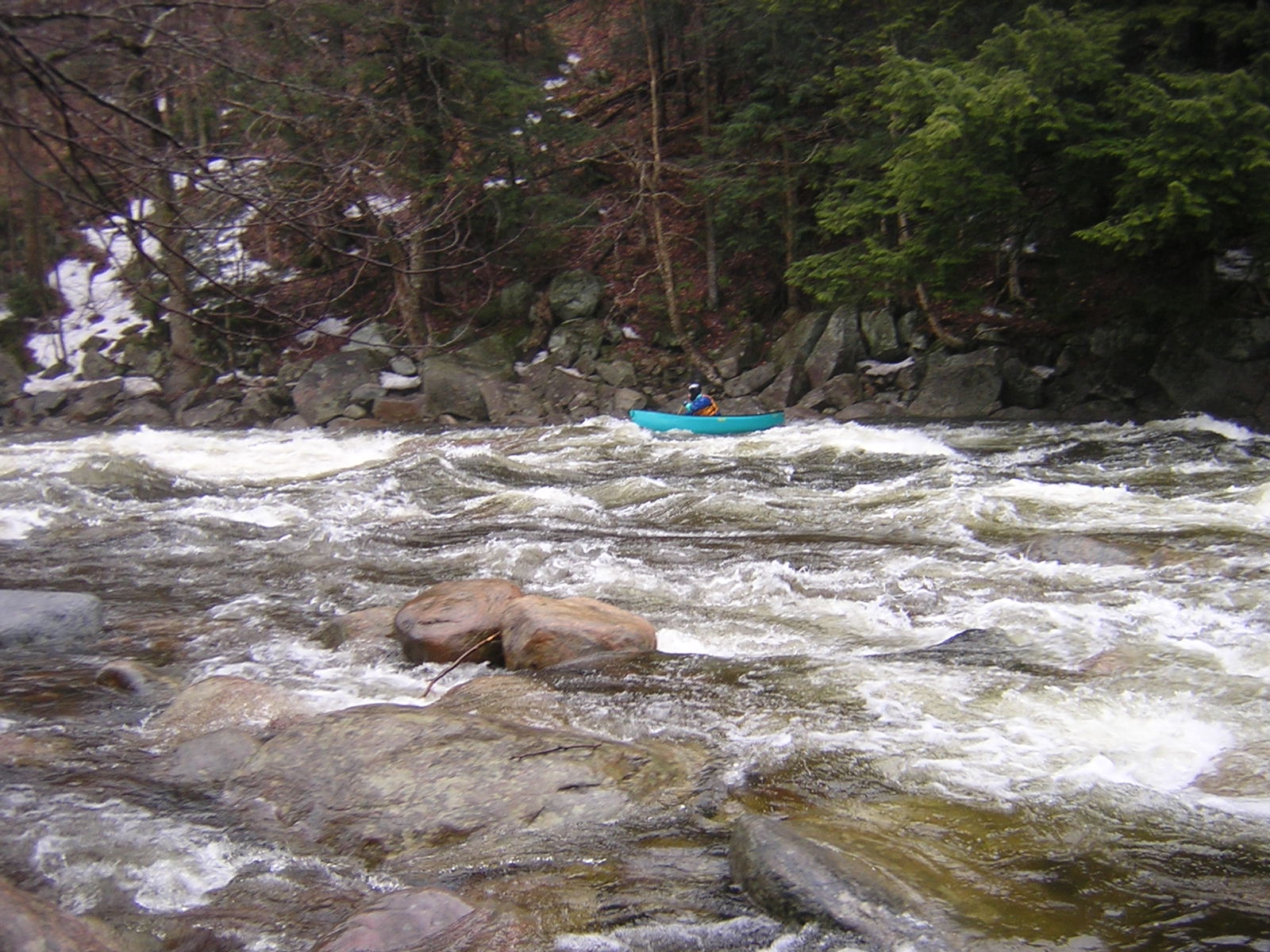
another good idea of what this stretch is like. level is approximate. gage is after confluence with south branch and many miles downstream.
his first time here, Matt was getting a feel for his new creeker.
the hole ended up finding Hans and made him stop for a surf.
Jan 1, 1900
Plenty of eddy room to boat scout as you pick your way down this.