Cuyahoga
D. Ohio Edison Dam to Cascade Valley MetroPark(Lower Gorge)
| Difficulty | II-III |
| Length | 1.3 mi |
| Avg Gradient | 50 fpm |
| Gauge | Cuyahoga River at Old Portage Oh |
| Flow Rate as of 39 minutes | 375 cfsbelow recommended |
| Reach Info Last Updated | July 21, 2021 |
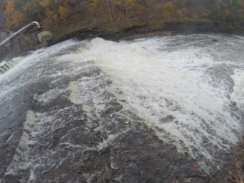
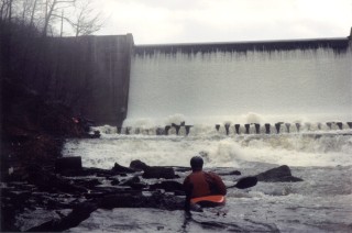
For many paddlers and river advocates, the story of the Cuyahoga River has been one of persistence and long-term vision. One of the most important chapters in that story centers on the Ohio Edison Dam, often called the Gorge Dam, and the opportunity to restore a free-flowing river through [...]Read More
Shuttle Directions
There are multiple options for setting shuttle on this section. I prefer to park at the take out and hike the High Bridge Trail to the dam. Other than the steps at the beginning, it’s mostly flat for the ~1 mile hike, but I’m carrying a Jackson so your opinion may differ!
Directions to the putin(s):
Take OH Rt. 8 to Howe Ave. exit and head west. At the light turn right on Front Street. If you want to run the right side of the falls, cross the bridge and turn left at the next light into the Gorge Metro Park parking lot. Follow the trail to the observation deck.
If you don’t want to run the falls (or want to run the left side), turn left into the small parking lot before the bridge. This is the beginning of the High Bridge trail that will take you to the dam. Just pass the dam on your right (~100 feet) will be a trail to the river.
Another putin option is to stay on Howe Ave and go straight at the first light (Front St.). Howe Ave turns into E. Cuyahoga Falls Ave. at this light, go past Swensons, turn right at the next light on Clifton Ave. Take Clifton until it dead ends into Riverside Dr. Street parking is available on Clifton Ave. walk to the intersection of Clifton/Riverside and turn right. Look to your left for the trail to the dam. The trail can be steep and muddy near the end and puts you on the High Bridge Trail at the top of the dam.
Directions from the putin(s) to the takeout:
From the light at Howe and Front Streets, proceed SW past Swensons (on left) down E. Cuyahoga Falls Ave. for ~1.3 miles. Turn right at the light on Howard St. (Liberty Harley on your left) and head north. At the second street turn left on Uhler Ave (west). Go ~0.5 mile to the intersection of Cuyahoga Street (4-way stop) and turn right. Proceed ~0.3 mile to the park entrance for the Chuckery Area, turn right. Drive all the way to the last parking lot. From this parking lot
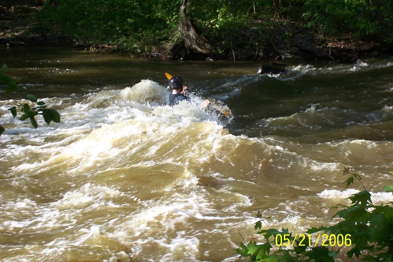
...This is the Put In for the Park and Play section of the run.
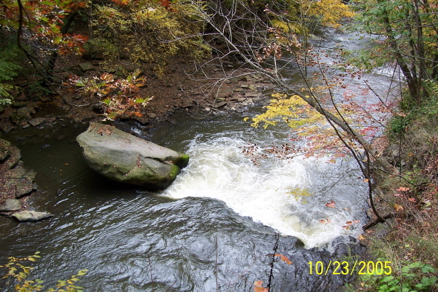
This is the beginning of the Island where the river splits. The main flow is on River Left, while River Right can be ran when clear of wood. There's also a cross over in the middle of the island from Right to Left during higher flows. Wood often gathers here and full sized trees can create significant hazards.
This is the Take Out for the Park and Play section for this run.
Mar 9, 2002
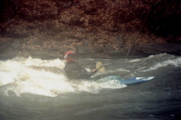
About the only playspot on the river at that level--unless you feel like playing in Butterfly, which is trashy even at low water.