Licking
2. Ridgely Tract to Dillon Falls
| Difficulty | II |
| Length | 4.4 mi |
| Avg Gradient | n/a |
| Gauge | Licking River Bl Dillon Dam Near Dillon Falls Oh |
| Flow Rate as of 39 minutes | 4.18 ftI-IIlow runnable |
| Reach Info Last Updated | April 5, 2020 |
Dillon Falls is a 1/4-mile, Class I-II rapid consisting of many 6-12' ledges, finishing with three ledges of 2ft, 3ft, and a river-left 4ft drop. The usual line is river-left.
The American Canoe Association holds Whitewater Rescue Recertification courses during the Spring, when releases of 1,900 CFS, or 7.0 ft on the USGS gauge, are scheduled. (Consult the ODNR web page for release dates).
At that level and higher, Dillon Falls becomes a legitimate Class III. Levels of 9.50 feet on the USGS gauge translates into a flow of 5,000+ CFS. This occurs several times a year after periods of heavy rain. The three aforementioned ledges produce very powerful river-wide hydraulics and paddlers should exercise good judgment.
Mar 25, 2009
alot of fun in a 1/2 mile!
May 15, 2001
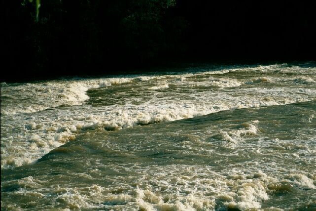
This photo was taken at 2,800 CFS. At this level, Dillon Falls reaches Class III, with 4ft waves lining up below two of the ledges. A couple of recirculating holes form below the ledges and the river is nearly 200ft wide at this spot; thus, throw bags are not very effective. There are public parking lots and launch points at the top and the bottom of the drop ( both on river-right), but in-between are private lots on both banks. Be sure to ask permission before trespassing (this is necessary to scout the drops).
May 30, 1999
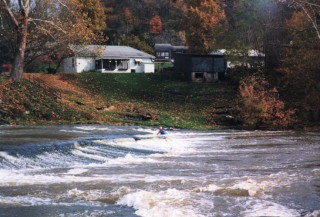
Todd Mitchell surfing the 3rd ledge at river left. The prefered line is river-left at all levels.
Jan 1, 1900
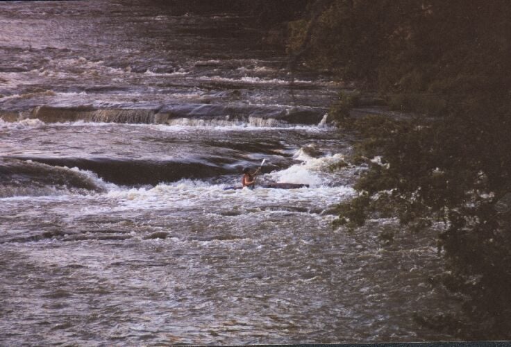
Dillon Falls at the lowest enjoyable level. This is the second ledge from the bottom and is a 3ft drop. A left line prepares paddlers for the 4ft drop at the 3rd ledge near the bottom
See the larger version of this picture by clicking here.