Little Beaver Creek
3. Fredricktown to Ohio River(Lower Little Beaver Creek)
| Difficulty | I(II) |
| Length | 7.9 mi |
| Avg Gradient | 9 fpm |
| Gauge | Little Beaver Creek Near East Liverpool Oh |
| Flow Rate as of 1 hour | 184 cfsbelow recommended |
| Reach Info Last Updated | April 17, 2011 |
Little Beaver Creek runs from the Lisbon area generally eastward to the Ohio River near East Liverpool. It is the site of the Sandy and Beaver Canal from the canal boom in the nineteenth century and the remains of dozens of the old stone locks are visible from the creek. Beaver Creek State Park, near Elkton, has a rebuilt lock and grist mill, as well as several other restored historical buildings. This park is helpful to the paddler, providing access and parking, camping, and a phone-in water-level gauge. Another recreational possibility to be aware of is the North Country National Scenic Trail, which passes through the park and along the creek.
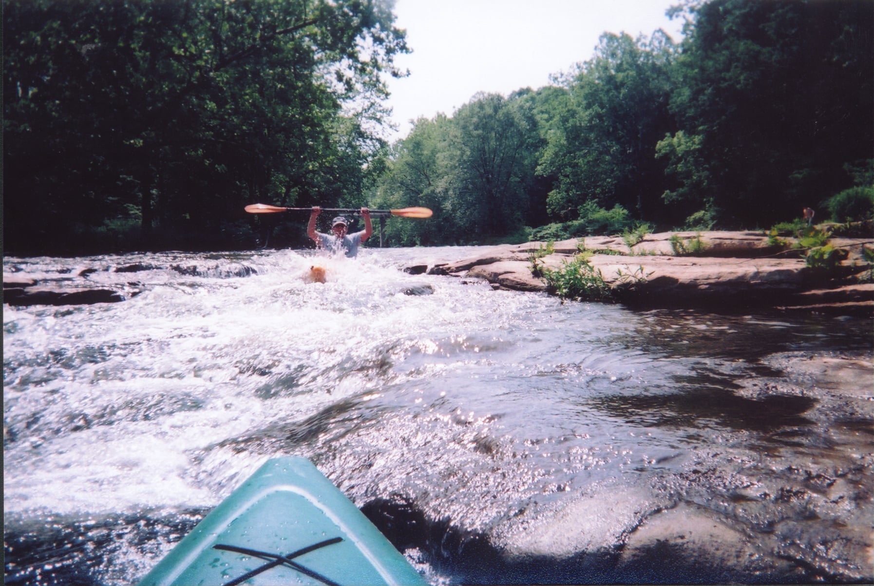
The character of the creek is basically gentle, with slow current and little depth at normal paddling levels. The stream bed is mostly rocky, with strainers being a rare occurrence. Class I riffles are found along the length of the creek, with plenty of opportunities to practice eddy cuts & peel-outs. There is only one slightly more serious rapid, a class II that approaches class III at higher water levels, found just downstream from the Fredericktown access. This is a good stream for beginner kayakers to learn their water reading skills and to develop the basic surfing/ferrying skills, as well as getting the feel of easy rapids.
ACCESS
The put-in for this section is at Fredericktown. The land surrounding this town, and most of the property in it, belong to one family. This land is being preserved as a wildlife refuge and trespassing is not allowed (please observe the signs). You'll also notice that the whole community is posted with 'No Parking' signs. Please be careful of where you park so as not to polarize the locals against paddlers. To get to the best parking spot, leave the put-in the way you came in, across the bridge and up the hill. Continue past the road on the left that you came in on, to the stop sign by the church a quarter mile further on. Turn to the left and go on to the first inters
...Jun 21, 2009
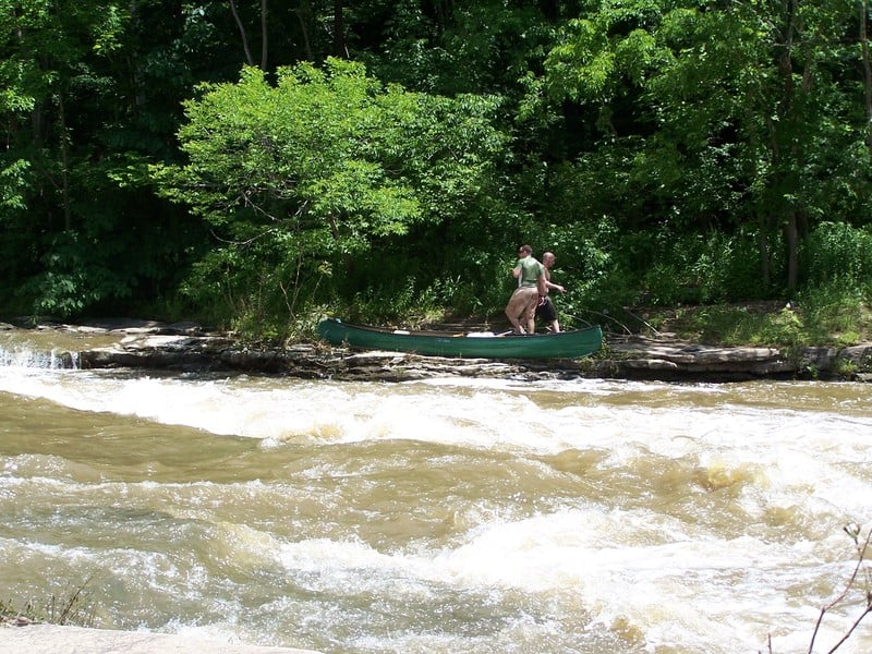
This was taken in July 2009 when the water was flowing at around 1100 CFS. The creek is runnable and we saw over 30 kayaks and canoes that day
Jun 11, 2009
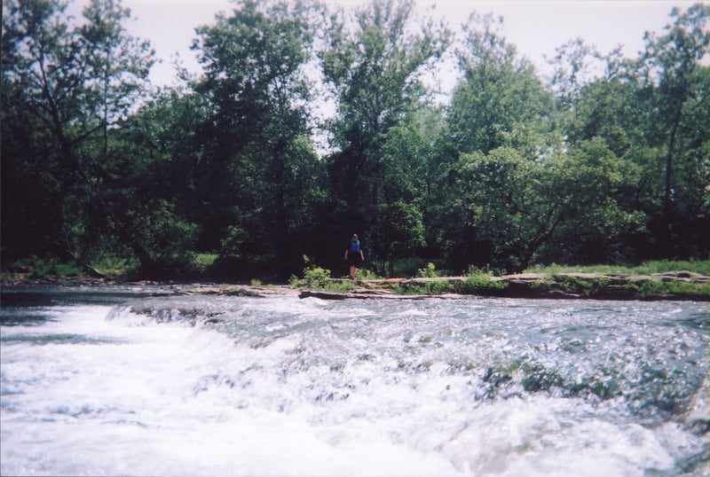
This was taken in July 2009 when the water was flowing at around 1100 CFS. The creek is runnable and we saw over 30 kayaks and canoes that day.