Paint Creek
Paint Creek Reservoir to old Rt. 50 rest area
| Difficulty | I-II(III) |
| Length | 3.1 mi |
| Avg Gradient | n/a |
| Gauge | Paint Creek Near Bainbridge Oh |
| Flow Rate as of 37 minutes | 2.34 ftbelow recommended |
| Reach Info Last Updated | March 18, 2012 |
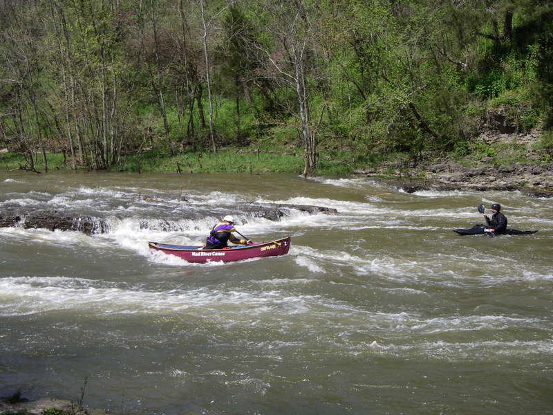
This run has only one rapid of any interest to any but the most novice boaters, but the rapid is rather long and fun and the run is pretty quick. This run is ofen combined with a scenic trip down Rocky Fork, however Rocky Fork does not run as often.
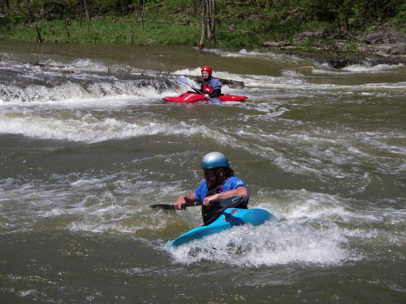
The most common put in for this stretch is right below the dam at Paint Creek State Park. There are two class I ledges right next to the parking area that provide novices the opportunities the chance to practice eddy turns and warm up.
The next mile or so is totally flat. Once Rocky Fork creek enters on the right things start to pick up. The river drops gradually over wide shoals ending just above a bridge (Rapid Forge road). Look for a few play spots against the right shore. At higher levels some nice waves kick up.
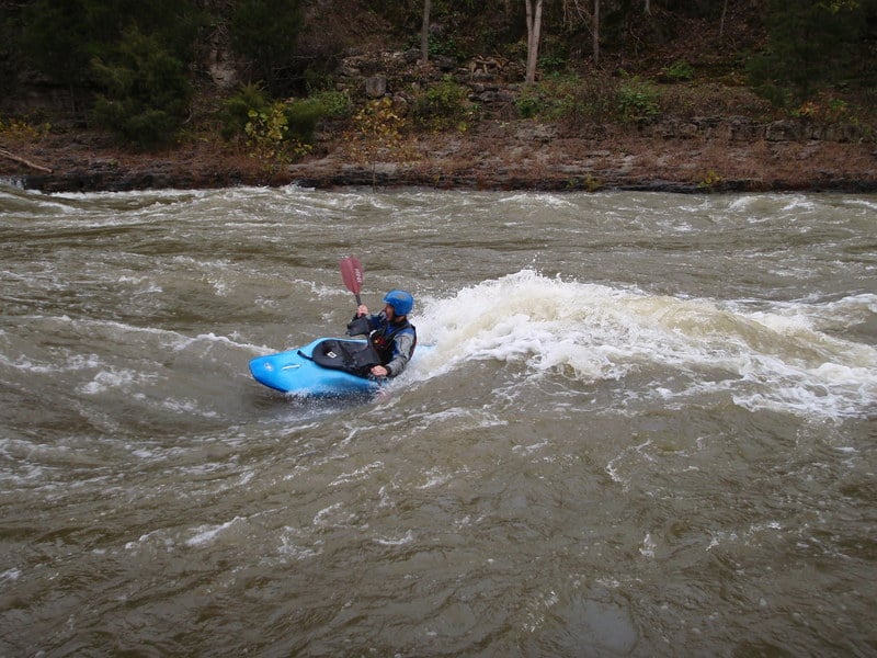
Underneath the bridge there is a short pool or, at higher water, slower current. The river narrows slightly, goes over another shoaly area with a nice playspot, a few waves, then goes over a definite ledge drop - class 2. Good eddy on the right, fun or squirly eddy line, depending if you have a squirting mindset, on river left.
After this first 'real' drop there is a short slack section (which disappears at higher water) leading to a midstream rock called 'Turtle Rock'. Water washes over the rock at 2000 cfs and it disappears at levels over 2500. Run either side of Turtle rock, but the right side is somewhat easier. Good eddies exist behind the rock and on river right.
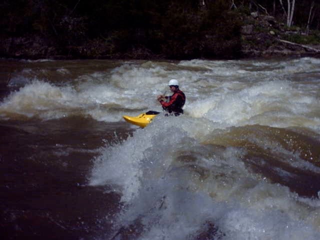
Be sure to try the automatic power ferry across the right hand chute. This is a great place for newer boaters to practice ferrys across a jet of water. There are also a nice couple of playspots here. It is also easy to walk back up to this spot from the bottom of the rapids.
Below Turtle Rock is very fast current leading to the third drop. This is a ledge extending from the right shore 2/3 to 3/4 across the river. This ledge is trashy at low level and forms a very powerful hydraulic at higher levels. It i
...
Ther are two class 1 rapids that make good training spots at the put in.
The difficulty ranges from hard class II to big water calss III+ depending on water levels.

There is a river access point about 1/2 a mile below the Chutes on river right.
This is a small three foor ledge or waterfal it is a riverwide sliding drop with a vertical ledge on river left. The rapid is straightforward and easy at most water levels.
Jul 17, 2013
My family and I used two inflatable kayaks (Sea Eagle 330 and 370) to go from just below Barrett Mill dam on Rocky Fork to SR 41 on Paint Creek in Bainbridge. The flow on Rocky Fork was at 150 CFS during our entire run. At that flow I got stuck once in a 3-4 foot section and felt myself scrape over a rock about 5 other times. Paint Creek was at 390 CFS. Same as Rocky Fork, we got stuck a couple of times and hit a few rocks. I am sure my inflatable kayak and my 210 lbs has a deeper draft than most other kayaks. My wife’s boat rarely had any trouble. She and my youngest son did get stuck at the section labeled above as “Chutes (Class III, Mile 2.5)”. The flow on the left was fun with plenty of water but not enough water was flowing over the ledge and they missed the left. Luckily, they managed to wiggle over the ledge without getting dumped sideways. The ledge listed above as “Falls (Class III+, Mile 6.0)” was the most fun of the day and worth all the paddling in the couple of flat miles leading up to it. We used what was referred to as the “sneak line” on the right and it was clearly the biggest rapid of the day. We intended to use the Church parking as our take out location but they now have it gated. We instead took out on the South side and parked along the access road but very near SR 41 since there are a couple of houses at the end of the road. Once you approach the area one will notice a couple of spots along this section where fishermen have created trails down to the river. Taking out there would be a bit more trouble at higher water levels since the water is flowing fairly fast at the SR 41 bridge. Other than the fast flow near SR 41 the river only offers paddling after the 6 mile ledge for the next 1.5 miles.
Apr 7, 2012
The rapid below the Chutes is definitely not class 4. It is an easy 3 or hard 2.